
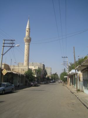
Akçakale, district and town of Şanlıurfa, Turkey
Location: Şanlıurfa Province
Elevation above the sea: 360 m
Website: https://akcakale.bel.tr
GPS coordinates: 36.71083,38.94778
Latest update: April 8, 2025 05:56
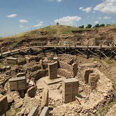
Göbekli Tepe
57.1 km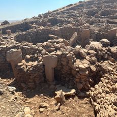
Karahan Tepe
52.9 km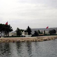
Tomb of Suleyman Shah
77.4 km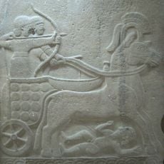
Carchemish
84.2 km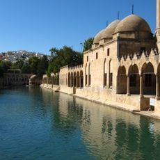
Balıklıgöl
50.8 km
Nevalı Çori
94.9 km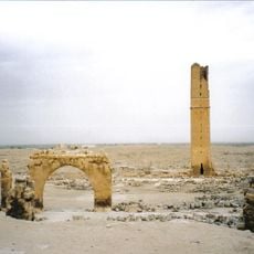
Haran
28.5 km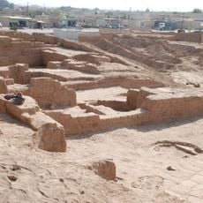
Tell Halaf
98.2 km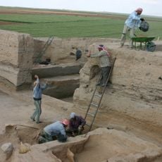
Tell Sabi Abyad
26.4 km
Şanlıurfa Archaeological Museum
52 km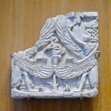
Arslan Tash
50.4 km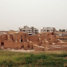
Qasr al-Banat
85.2 km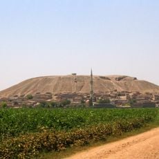
Sultantepe
38 km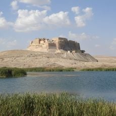
Qal'at Najm
63.7 km
Tell Halula
77.1 km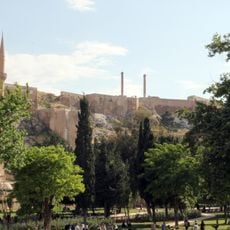
Şanlıurfa Castle
50.5 km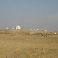
Tell el Fakhariya
101.2 km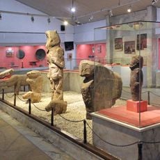
Şanlıurfa Archaeology and Mosaic Museum
51.5 km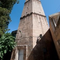
Ulu Camii
51 km
Tek Tek Mountains National Park
32.6 km
Tall Bazi
67.8 km
Sweyhat
78.9 km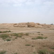
Heraqla
83.9 km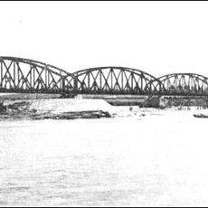
Karkamış Bridge
83.4 km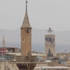
Şanlıurfa Clock Tower
51 km
Tell Hammam et-Turkman
27.3 km
Tell Amarna
83.4 km
Al-Jarud
58.5 kmReviews
Visited this place? Tap the stars to rate it and share your experience / photos with the community! Try now! You can cancel it anytime.
Discover hidden gems everywhere you go!
From secret cafés to breathtaking viewpoints, skip the crowded tourist spots and find places that match your style. Our app makes it easy with voice search, smart filtering, route optimization, and insider tips from travelers worldwide. Download now for the complete mobile experience.

A unique approach to discovering new places❞
— Le Figaro
All the places worth exploring❞
— France Info
A tailor-made excursion in just a few clicks❞
— 20 Minutes