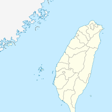
雪白山, Mountain peak in Heping District, Taiwan
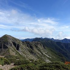
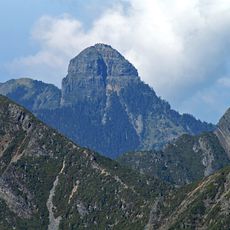
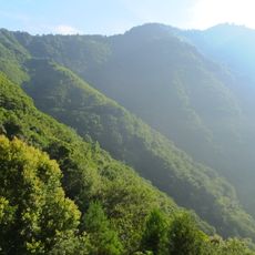
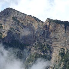
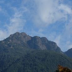
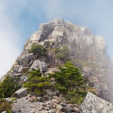
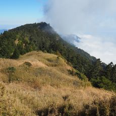
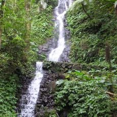
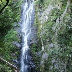
Xueshan is a mountain peak in Heping District that rises to 3,886 meters (12,749 feet) with steep rocky terrain and forested sections along its marked hiking trails. The landscape transitions from lower forested zones to exposed rock formations at higher elevations, creating distinct stages on the route.
Japanese surveyors measured the peak during the colonial period and named it Tsugitakayama to mark its status as Taiwan's second highest mountain. This survey established the height references used in modern mapping of the island.
The Atayal indigenous people call this mountain Sekuwan, a name reflecting their centuries-old relationship with the high country. Local communities maintain traditional links to the landscape through oral histories and practices passed down through generations.
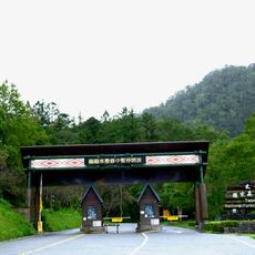
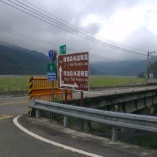
Access requires both a national park permit and a police mountain entry permit, with applications needing to be submitted 5 to 60 days before your planned visit. Plan your trip well in advance to ensure both permits arrive before your intended climbing date.
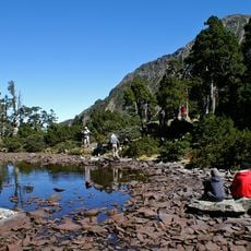
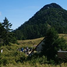
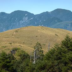
The peak contains Cuei Pond, a glacial lake at high elevation surrounded by single-seed juniper forests that form distinct ecological zones rarely found elsewhere. This high-altitude forest area stands apart from surrounding vegetation and reveals how plant life shifts with elevation.
The community of curious travelers
AroundUs brings together thousands of curated places, local tips, and hidden gems, enriched daily by 60,000 contributors worldwide.