Enable Location

We need your location to show you interesting places around you

Discover nearby places

Find interesting locations and hidden gems around you

Precise directions

Get accurate directions and distances to places

Your location is never shared with other users. It's only used when you tap the location button.

Shakadang Trail

Log in to your account

Start exploring — it's free

Trusted by 62,422 travelers worldwide

Continue with Google
Continue with Apple
or

We will send you a code to connect

By continuing, you accept our Terms and Conditions and our Privacy Policy

Check your inbox

We've sent a pincode in your inbox. Please enter the code below.

Shakadang Trail

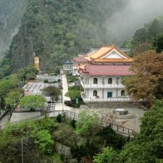
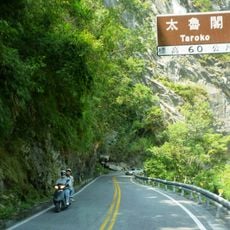
Shakadang Trail, Trail in Hualien County, Taiwan

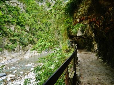
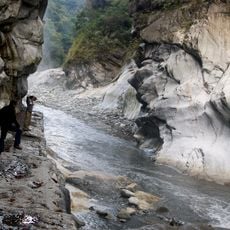
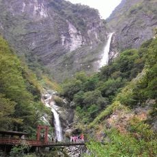
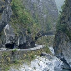
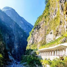
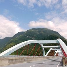
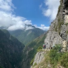
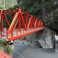
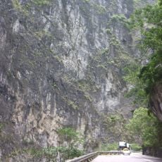
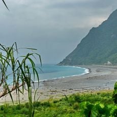
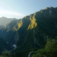
Shakadang Trail is a path in Taroko National Park that follows the Shakadang River with its clear turquoise water through a deep valley. The route winds past tall marble cliffs and white rock formations shaped by water over countless years, offering views of the river and surrounding stone walls.

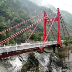
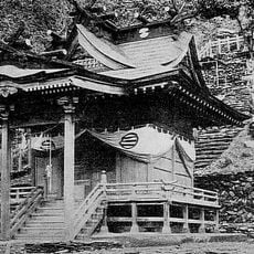
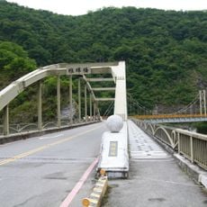
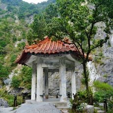
The trail was first built during the Japanese occupation of Taiwan to reach the Liwu power plant and transport workers and materials. After being renamed Shakadang in 2001 to honor the local indigenous language, it underwent repairs and reopened in 2017 with an extended and improved route.

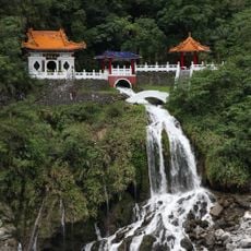
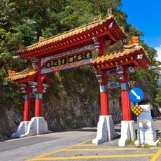
The name Shakadang comes from the Taroko language and means molar, reflecting the origins and stories of the indigenous people who settled this area. Along the path, signs in both Chinese and Taroko language show the deep connection between the local community and this landscape.

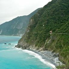
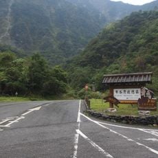
The trail requires no permits and is easy to walk for most visitors, though wearing comfortable shoes and bringing water are essential. Watch your step on rocky or narrow sections, especially in wet conditions, and plan two to four hours for the complete route.

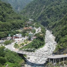
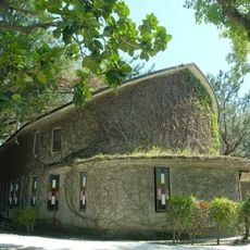
Along the route are remnants of small traditional settlements like Wujianwu and Sanjianwu where visitors can taste Taroko food specialties and get a glimpse of how residents once lived. These places now function as informal markets selling local dishes like Taroko sausage and regional delicacies.

The community of curious travelers

AroundUs brings together thousands of curated places, local tips, and hidden gems, enriched daily by 60,000 contributors worldwide.

Start exploring
GPS coordinates
24.16314,121.61267
Latest update
February 9, 2026 08:22
« Shakadang Trail - Trail in Hualien County, Taiwan » is provided by Around Us (aroundus.com). Images and texts are derived from Wikimedia project under a Creative Commons license. You are allowed to copy, distribute, and modify copies of this page, under the conditions set by the license, as long as this note is clearly visible.

Discover hidden gems everywhere you go!

From secret cafés to breathtaking viewpoints, skip the crowded tourist spots and find places that match your style. Our app makes it easy with voice search, smart filtering, route optimization, and insider tips from travelers worldwide. Download now for the complete mobile experience.

Around Us App Screenshot

A unique approach to discovering new places

Le Figaro

All the places worth exploring

France Info

A tailor-made excursion in just a few clicks

20 Minutes

Around Us
Travel Guide & Maps
Download

Send to your phone

QR Code
1

Open the camera app on your mobile.

2

Point at the QR code with your camera. A notification will appear.

3

Tap the notification to open the link.