Odesa Oblast

Log in to your account

AroundUs is a community-driven map of interesting places, built by curious explorers like you. It grows with every review, story, and photo you share.
Connect to save your favorite spots, contribute locations, and create personalized routes.
By continuing, you accept our Terms and Conditions and our Privacy Policy
Add to collection
Map
Suggest a change
Share

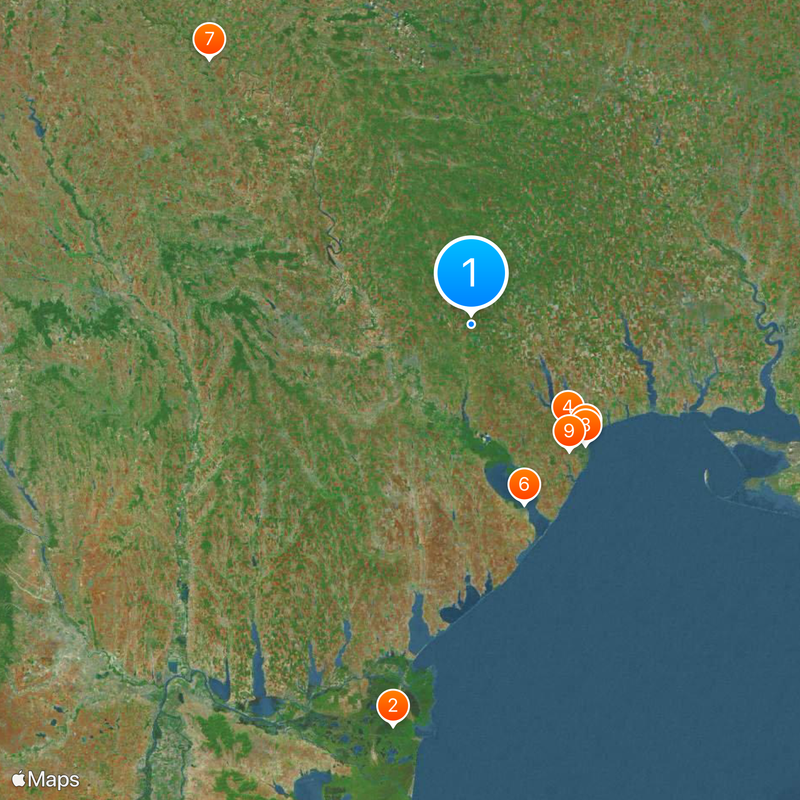
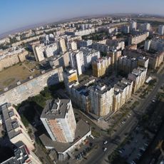
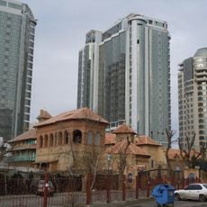
Odesa Oblast, Administrative region in southwestern Ukraine.

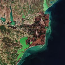
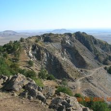
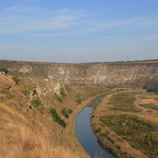
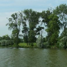
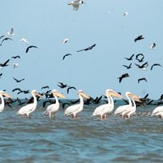
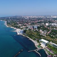
Odesa Oblast is an administrative region in southwestern Ukraine that runs along the Black Sea and covers both coastal areas and wide steppe plains. The territory includes eight seaports and several of the largest lakes in the country, all connected by the river that cuts through the flat landscape.

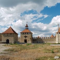
The area went through several territorial shifts during the 19th century before being officially set up as a region on February 27, 1932, under Soviet rule. Its borders were adjusted several times in the following decades, while it continued to serve as a center for farming and trade.

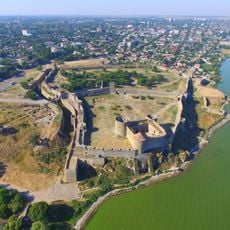
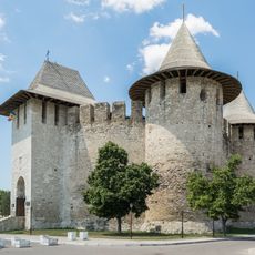
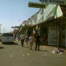
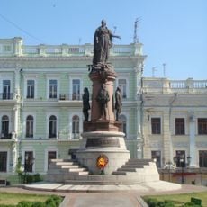
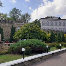
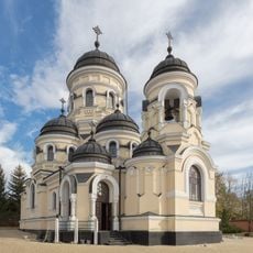
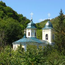
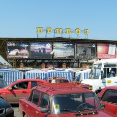
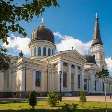
The name comes from the port city that serves as the regional center, a place shaped by its mix of ethnic groups and maritime connections. Orthodox churches mark many towns across the area, while markets near the coast offer local wine, fish, and vegetables that reflect the traditions of farming and fishing communities.

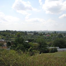
The best time to visit runs from spring through autumn when temperatures stay mild and the coast remains accessible. Public transport connects the main towns along the coast and inland, while roads reach most vineyards and smaller settlements across the flat terrain.

The region holds thousands of hectares of vineyards scattered between the coast and the interior, making it the main wine-producing area in the country. Some estates offer tastings where visitors can sample local grape varieties that have been grown here for generations.

Location: Ukraine

Inception: February 9, 1932

Capital city: Odesa

Elevation above the sea: 281 m

Reference: ОДЕ

Shares border with: Vinnytsia Oblast, Kirovohrad Oblast, Mykolaiv Oblast, Tulcea County, Cahul District, Gagauzia, Taraclia District, Basarabeasca District, Cimișlia District, Căușeni District, Ștefan Vodă District, Administrative-Territorial Units of the Left Bank of the Dniester

Website: https://oda.od.gov.ua

GPS coordinates: 47.00000,30.00000

Latest update: December 15, 2025 00:55

Photos
Reviews

Visited this place? Tap the stars to rate it and share your experience / photos with the community! Try now! You can cancel it anytime.

Administrative divisions
« Odesa Oblast - Administrative region in southwestern Ukraine » is provided by Around Us (aroundus.com). Images and texts are derived from Wikimedia project under a Creative Commons license. You are allowed to copy, distribute, and modify copies of this page, under the conditions set by the license, as long as this note is clearly visible.

Discover hidden gems everywhere you go!

From secret cafés to breathtaking viewpoints, skip the crowded tourist spots and find places that match your style. Our app makes it easy with voice search, smart filtering, route optimization, and insider tips from travelers worldwide. Download now for the complete mobile experience.

Around Us App Screenshot

A unique approach to discovering new places

Le Figaro

All the places worth exploring

France Info

A tailor-made excursion in just a few clicks

20 Minutes