Lake Brebeneskul, Glacial lake in Zakarpattia Oblast, Ukraine
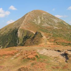
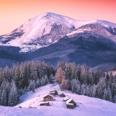
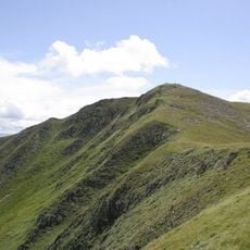
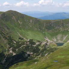
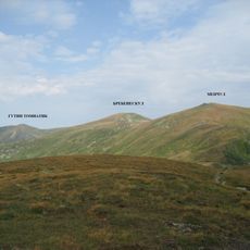
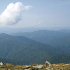
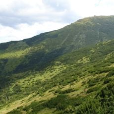
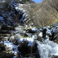
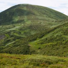
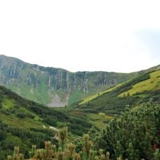
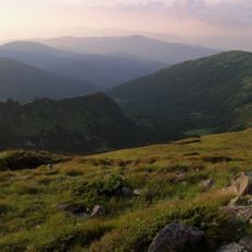
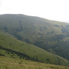
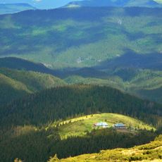
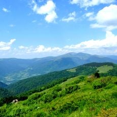
Lake Brebeneskul is a glacial lake in the Carpathian Mountains of Zakarpattia Oblast, sitting at roughly 1,800 meters (5,900 feet) elevation. The water rests in an oval basin nestled between two mountain peaks, surrounded by rocky terrain and alpine meadows.
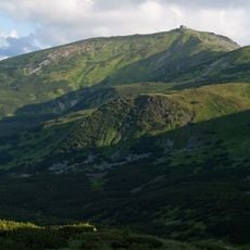
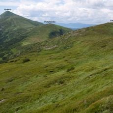
The first scientific description was made by H. P. Miller in 1964, recording a surface outflow and smaller dimensions: 134 m long, 44 m wide, 2.8 m deep. In 1997 the lake became part of the Carpathian Biosphere Reserve. Its basin is a glacial cirque on the southwestern slope of the Chornohora range.
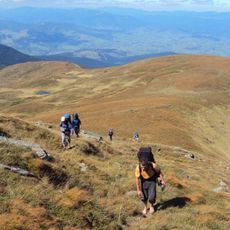
The name Brebeneskul has two proposed origins: one links it to a Romanian word for periwinkle, the other to the berbenytsia, a local musical instrument. The lake is also called the "Blue Eye of the Carpathians" in tourist materials. Its shores are used for tent camps, and the site is a destination on hiking routes in the Chornohora range.
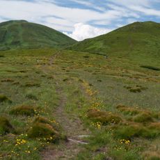
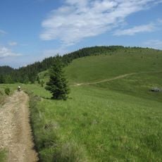
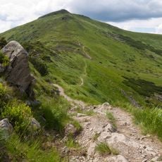
The lake sits in the high alpine zone and is typically accessible only during warmer months when snow and ice have melted. The approach is steep and demanding, requiring good physical fitness and proper mountain gear.
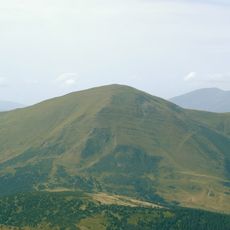
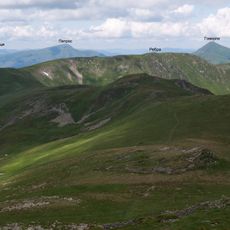
This lake holds the distinction of being Ukraine's highest water body, positioned at the border between two mountain peaks both exceeding 2,000 meters in height. The taller peak was the source of the lake's own name.
The community of curious travelers
AroundUs brings together thousands of curated places, local tips, and hidden gems, enriched daily by 94,712 contributors worldwide.