Kyrylivka, Urban settlement in Yakymivka Raion, Ukraine.
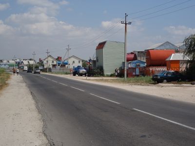
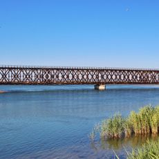
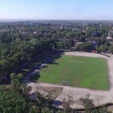
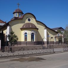
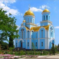
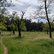
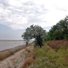
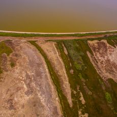
Kyrylivka is a rural settlement in Yakymivka Raion in southern Ukraine, situated in flat terrain at a low elevation. The village consists of residential structures scattered among agricultural land, with basic local services and roads connecting it to nearby towns.
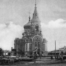
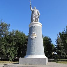
The village was established in 1805 and gradually grew as an agricultural community in the region. During the Soviet period, it gained administrative status and became integrated into the territorial organization of the Ukrainian Soviet Socialist Republic.
The settlement represents a transitional form between rural and urban living, with residents maintaining agricultural practices while participating in industrial activities.
The settlement is best reached via local roads connecting it to larger towns in the area. Visitors should expect limited commercial facilities and facilities, with most activities centered on observing rural life and the surrounding landscape.
The settlement demonstrates the evolution of Soviet-era urban planning, positioned near industrial facilities while maintaining a connection to agricultural traditions.
Location: Yakymivka Raion
Inception: 1805
Elevation above the sea: 10 m
Website: https://krlk.gov.ua
GPS coordinates: 46.37314,35.36755
Latest update: December 6, 2025 22:08
Аквапарк «Острів Скарбів»
1.3 km
Melitopol Museum
52.6 km
Novooleksandrivskyi Park
51.5 km
Rykove
47.4 km
Azov National Nature Park
52 km
Iron Bridge
49.7 km
Lighthouse on Byriuchyi Island
42.8 km
Sabbas the Sanctified monastery
51.4 km
Henichesk Lighthouse
47.1 km
Taras Shevchenko Palace of Culture
52.3 km
Oleh Oleksenko Spartak Stadium
51.5 km
Alexander Nevsky Cathedral
52.8 km
Олександро-Невський собор
52.5 km
Vladimir Vysotsky monument in Melitopol
52.4 km
Bohdan Khmelnytsky monument
50.8 km
Henichesk Regional History Museum
48.5 km
Taras Shevchenko monument
52.2 km
Lenin monument in Melitopol
52.2 km
Vremia
52.3 km
Cyril and Methodius Church, Melitopol
52.2 km
Тащенакский под
32.4 km
T︠S︡erkva Pokrovy Presvi︠a︡toï Bohorodyt︠s︡i
58.5 km
Lisopitomnik
55.4 km
Forest area near the r. Domuzhla
52.1 km
Правий берег Молочного лиману (Охримівка)
10.6 km
Правий берег Молочного лиману (Мирне)
13.7 km
Synagogue in Melitopol
52.7 km
Saint Catherine of Alexandria church, Melitopol
50.7 kmReviews
Visited this place? Tap the stars to rate it and share your experience / photos with the community! Try now! You can cancel it anytime.
Discover hidden gems everywhere you go!
From secret cafés to breathtaking viewpoints, skip the crowded tourist spots and find places that match your style. Our app makes it easy with voice search, smart filtering, route optimization, and insider tips from travelers worldwide. Download now for the complete mobile experience.
A unique approach to discovering new places❞
— Le Figaro
All the places worth exploring❞
— France Info
A tailor-made excursion in just a few clicks❞
— 20 Minutes