Kapelebyong District, district in Uganda
Location: Northern Region
Inception: 2018
GPS coordinates: 2.20000,33.76667
Latest update: March 4, 2025 04:21
Lira
96.5 km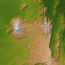
Mount Elgon
147.6 km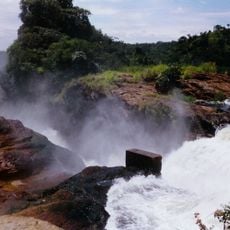
Murchison Falls
231.6 km
Kitum Cave
156.9 km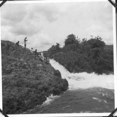
Ripon Falls
206.7 km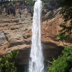
Sipi Falls
118.1 km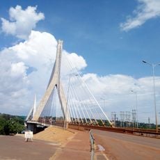
New Jinja Bridge
206.5 km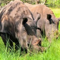
Ziwa Rhino Sanctuary
205.6 km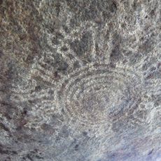
Nyero Rockpaintings
106.2 km
Mabira Forest
217.2 km
Owen Falls
205.8 km
Bujagali Falls
201.8 km
Mount Moroto
117.6 km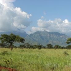
Mount Kadam
115.6 km
Saiwa Swamp National Park
193.8 km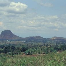
Tororo Rock
174.9 km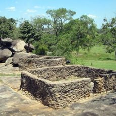
Baker's Fort
184.9 km
Kitale Museum
190.9 km
Cherangani Hills Forest
209.2 km
Itanda Falls
194.8 km
St. Joseph's Cathedral, Gulu
178.8 km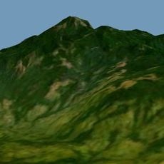
Kinyeti
216.4 km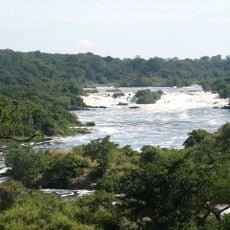
Karuma Falls
170.6 km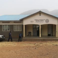
Karamoja Regional Museum
108.2 km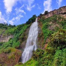
Sisiyi Falls
119.6 km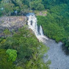
Ssezibwa Falls
228.6 km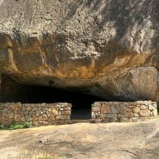
Nyero Rock Paintings
81.6 km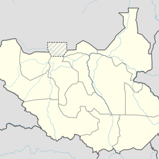
Agu
209.5 kmReviews
Visited this place? Tap the stars to rate it and share your experience / photos with the community! Try now! You can cancel it anytime.
Discover hidden gems everywhere you go!
From secret cafés to breathtaking viewpoints, skip the crowded tourist spots and find places that match your style. Our app makes it easy with voice search, smart filtering, route optimization, and insider tips from travelers worldwide. Download now for the complete mobile experience.

A unique approach to discovering new places❞
— Le Figaro
All the places worth exploring❞
— France Info
A tailor-made excursion in just a few clicks❞
— 20 Minutes