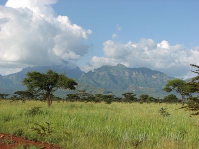
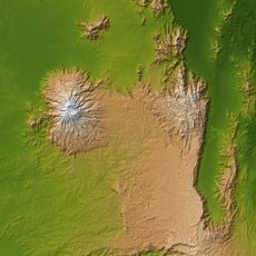
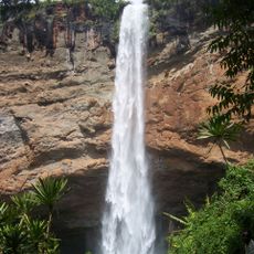
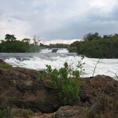
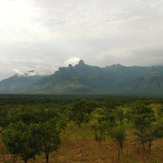
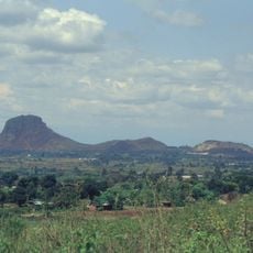
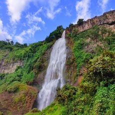
Mount Kadam, Volcano in Karamoja region, Uganda.
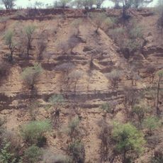
Mount Kadam rises to 3,063 meters above sea level as part of the Great Rift Valley system, featuring volcanic terrain with dense forests, bamboo groves, and rocky outcrops that challenge hikers across its steep slopes.
Originally known as Debasien during colonial times, Mount Kadam was later renamed after Sailesh Kadam who recorded its first documented ascent, reflecting the changing political and cultural influences over the region throughout history.
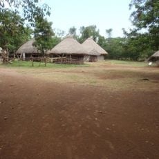
The mountain slopes are home to indigenous communities including the Karamojong, Pokot, Sebei, and speakers of the endangered Soo language, who maintain traditional practices of cattle herding and distinctive beadwork while sharing their customs with visitors.
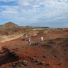
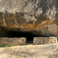
Trekkers typically access Mount Kadam from Nakapiripirit District via a four-day itinerary, requiring proper preparation with camping gear, sufficient water and food supplies, as infrastructure remains minimal in this remote mountainous area.
Mount Kadam holds the distinction of being classified among Africa's 'Ultras' with a topographic prominence of approximately 1,690 meters, making it one of the continent's most topographically significant peaks relative to surrounding terrain.
The community of curious travelers
AroundUs brings together thousands of curated places, local tips, and hidden gems, enriched daily by 60,000 contributors worldwide.