British Virgin Islands

Log in to your account

AroundUs is a community-driven map of interesting places, built by curious explorers like you. It grows with every review, story, and photo you share.
Connect to save your favorite spots, contribute locations, and create personalized routes.
Continue with Google
Continue with Apple
Continue with X
Continue with Facebook
Continue with email
By continuing, you accept our Terms and Conditions and our Privacy Policy
Create an account
Add to collection
Map
Suggest a change
Share

British Virgin Islands, British territory in Caribbean Sea

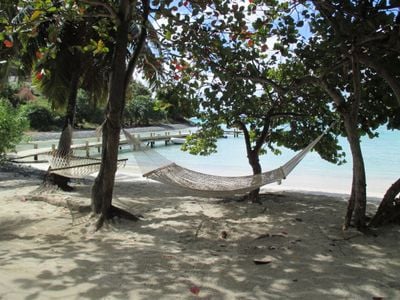
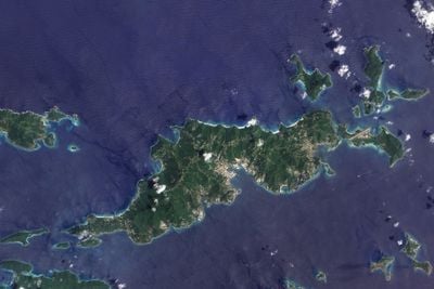
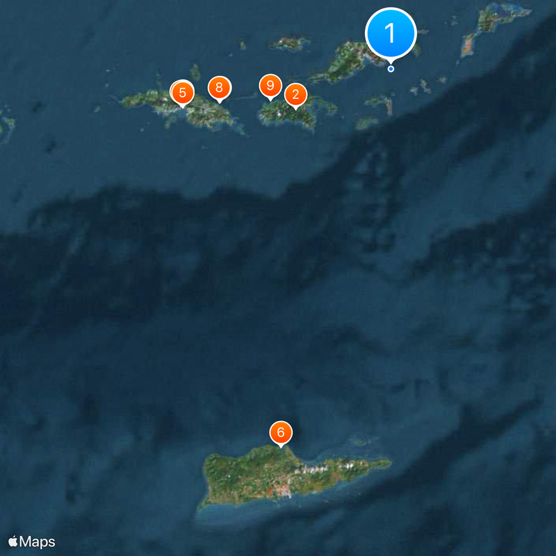
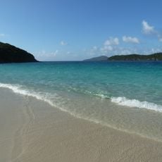
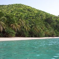
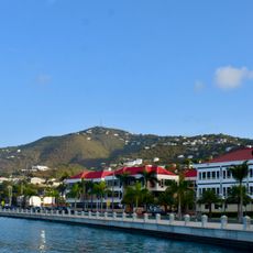
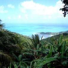
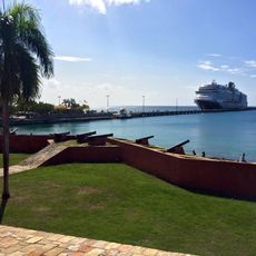
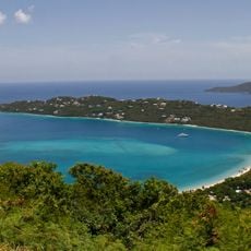
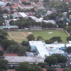
The British Virgin Islands are a group of roughly 60 islands and rocky outcrops in the southeastern Caribbean, located northeast of Puerto Rico. Tortola is the largest island and home to Road Town, the capital where most visitors arrive and where most hotels and ferry connections are located.

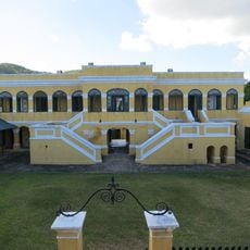
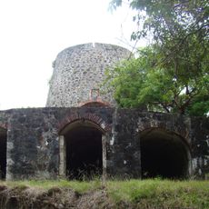
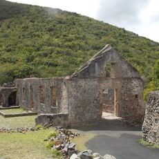
Dutch settlers arrived starting in 1648, but Britain annexed the territory in 1672 and established a permanent European presence. The territory gained self-governance in 1960 and later received its current status as an overseas territory.

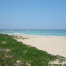
The islands show their Caribbean roots through local cuisine centered on fish and rice dishes served in seaside restaurants. Reggae and calypso music fill the air from street cafes and beach bars throughout the islands.

The subtropical climate brings humid summers with occasional hurricanes between June and November, while the dry season from December through April offers more comfortable conditions. Road Town on Tortola is the first stop for visitors, as most accommodations and transportation options are centered there.

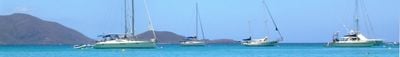
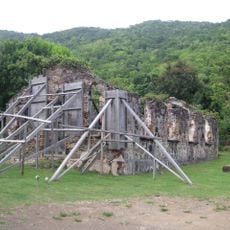
Edward Teach, known as Blackbeard, used Soper's Hole on Tortola's northwest coast around 1715 as a base for pirate operations against merchant ships. This natural harbor provided protection and concealment for those operating outside the law.

Location: British overseas territories

Capital city: Road Town

Part of: Leeward Islands, Lesser Antilles, Caribbean, European Union tax haven blacklist

Shares border with: United States Virgin Islands

Website: http://bvi.gov.vg

GPS coordinates: 18.40244,-64.56616

Latest update: December 18, 2025 14:30

Photos
Smallest countries and territories in the world by area

This collection encompasses the world's smallest countries and territories by land area, measured including lakes and rivers within their borders. The list features both independent sovereign states and dependent territories with varying political statuses. From Vatican City at 0.4 square kilometers...

Around this place
Virgin Islands National Park
United States of America

Virgin Islands National Park

19.1 km
Blackbeard's Castle
United States of America

Blackbeard's Castle

38.9 km
St. Thomas Synagogue
United States of America

St. Thomas Synagogue

39.3 km
Fort Christian
United States of America

Fort Christian

39 km
Salt River Bay National Historical Park and Ecological Preserve
United States of America

Salt River Bay National Historical Park and Ecological Preserve

72.3 km
Coral World Ocean Park
United States of America

Coral World Ocean Park

32 km
Coki Beach
United States of America

Coki Beach

32.2 km
Gibney Beach
United States of America

Gibney Beach

22.9 km
Sandy Point National Wildlife Refuge
United States of America

Sandy Point National Wildlife Refuge

88.1 km
Crown Mountain
United States of America

Crown Mountain

43.3 km
Christiansted National Historic Site
United States of America

Christiansted National Historic Site

74.4 km
United States of America

Buck Island National Wildlife Refuge

36.7 km
Fort Frederik
United States of America

Fort Frederik

83.5 km
Queen Elizabeth II Bridge, British Virgin Islands
United Kingdom

Queen Elizabeth II Bridge, British Virgin Islands

4.9 km
Sage Mountain National Park
United Kingdom

Sage Mountain National Park

8.9 km
Reef Bay Trail petroglyphs
United States of America

Reef Bay Trail petroglyphs

20.1 km
Frederiksted Pier
United States of America

Frederiksted Pier

83.9 km
Government House
United Kingdom

Government House

5.7 km
Cathedral Church of All Saints
United States of America

Cathedral Church of All Saints

39.1 km
United States of America

Mount Eagle

76 km
Magens Bay Arboretum
United States of America

Magens Bay Arboretum

38.2 km
Lionel Roberts Park
United States of America

Lionel Roberts Park

38.7 km
Catherineberg Sugar Mill Ruins
United States of America

Catherineberg Sugar Mill Ruins

21.5 km
Green Cay National Wildlife Refuge
United States of America

Green Cay National Wildlife Refuge

71.5 km
St. Phillip's Church
Virgin Islands (British)

St. Phillip's Church

3.4 km
Annaberg Historic District
United States of America

Annaberg Historic District

17.7 km
Fort George
Virgin Islands (British)

Fort George

5 km
United States of America

Venus Hill

38.8 km
Show the full map
Reviews

Visited this place? Tap the stars to rate it and share your experience / photos with the community! Try now! You can cancel it anytime.

« British Virgin Islands - British territory in Caribbean Sea » is provided by Around Us (aroundus.com). Images and texts are derived from Wikimedia project under a Creative Commons license. You are allowed to copy, distribute, and modify copies of this page, under the conditions set by the license, as long as this note is clearly visible.

Discover hidden gems everywhere you go!

From secret cafés to breathtaking viewpoints, skip the crowded tourist spots and find places that match your style. Our app makes it easy with voice search, smart filtering, route optimization, and insider tips from travelers worldwide. Download now for the complete mobile experience.

Around Us App Screenshot

A unique approach to discovering new places

Le Figaro

All the places worth exploring

France Info

A tailor-made excursion in just a few clicks

20 Minutes