Arnside and Silverdale, Protected natural area in North West England.
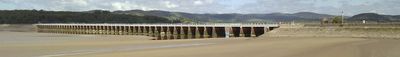
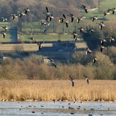
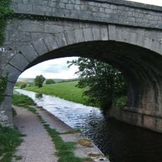
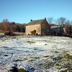
Arnside and Silverdale is a protected area in North West England that runs along the edge of Morecambe Bay, covering limestone outcrops, ancient woodland, and open grassland. It sits between the Lake District and the Yorkshire Dales, making it a relatively compact stretch of varied land close to both upland regions.
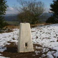
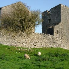
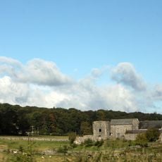
The area was designated an Area of Outstanding Natural Beauty by the British government in 1972 to protect its limestone landscape and ecologically valuable habitats. Long before that, the unusual geology of the land had drawn naturalists and geologists from across England who came to study its rock formations and plant life.
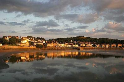
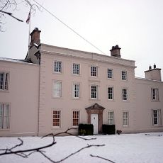
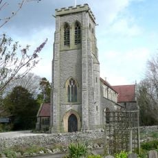
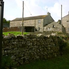
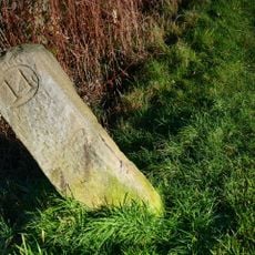
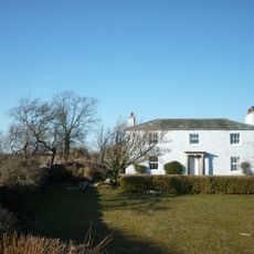
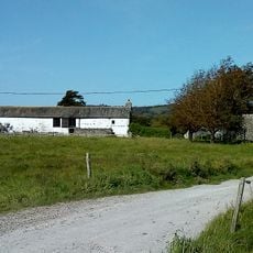
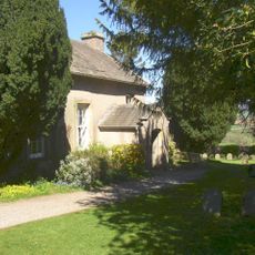
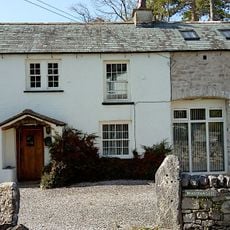
The area takes its name from the two small villages of Arnside and Silverdale, both of which serve as starting points for walks into the surrounding land. Each village has stone buildings, small shops, and tea rooms where visitors tend to gather after time outdoors.
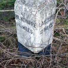
The area is easy to explore on foot from the villages of Arnside and Silverdale, both of which are reachable by train from Lancaster. Coastal weather can shift quickly, so layered clothing and sturdy footwear make a real difference, especially near the exposed limestone pavements.
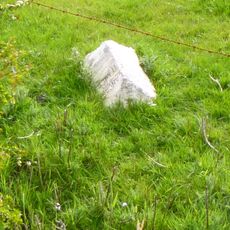
The limestone pavements found across this area have deep cracks called grykes where ferns and shade-loving plants grow, protected from wind and grazing animals. These sheltered grooves can hold plant species more commonly found in woodland, even though they sit out on open ground.
The community of curious travelers
AroundUs brings together thousands of curated places, local tips, and hidden gems, enriched daily by 60,000 contributors worldwide.