Broome County

Log in to your account

AroundUs is a community-driven map of interesting places, built by curious explorers like you. It grows with every review, story, and photo you share.
Connect to save your favorite spots, contribute locations, and create personalized routes.
By continuing, you accept our Terms and Conditions and our Privacy Policy
Add to collection
Map
Suggest a change
Share

Broome County, Administrative county in Southern Tier, New York.

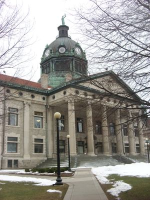
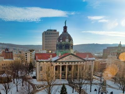
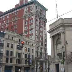
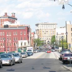
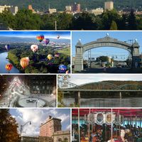
Broome County is an administrative region in the southern part of New York State, stretching across gentle hills and wooded valleys. The Susquehanna River flows through the center of the area, linking smaller communities with the larger city of Binghamton on its banks.

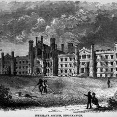
The territory was separated from a larger administrative unit in 1806 and named after an early New York politician. During the 19th century, immigrants from Europe settled here and built factories along the rivers, making shoes and later electrical equipment.

The rivers attract anglers and paddlers, while the colleges offer theater performances and concerts attended by students and locals. In smaller towns, volunteers organize county fairs and harvest festivals where local craftspeople display their work and families gather.

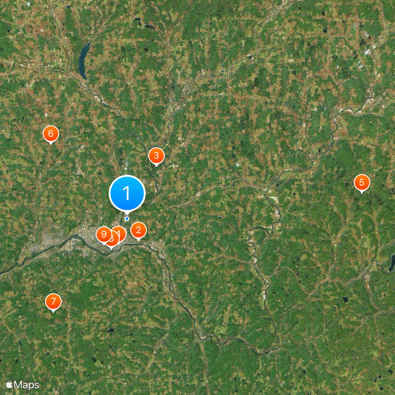
Most visitors reach the area via Interstate 81, which runs north to south, or through several state highways linking smaller towns. Those traveling by public transport will find bus routes connecting major centers, while a car is useful for exploring rural sections.

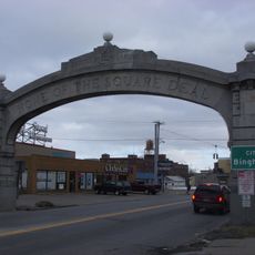
The red brick factory buildings along the river often stand empty, with faded company signs recalling earlier industrial times. Some have been converted into apartments or studios, while others still await new use and show how the local economy has shifted over the decades.

Location: New York

Inception: 1806

Capital city: Binghamton

Shares border with: Wayne County, Chenango County, Delaware County, Susquehanna County, Tioga County, Cortland County

Website: http://gobroomecounty.com

GPS coordinates: 42.13699,-75.88831

Latest update: December 5, 2025 16:35

Photos
Around this place
Show the full map
New York State Inebriate Asylum
United States of America

New York State Inebriate Asylum

3.9 km
Dick's Sporting Goods Open
United States of America

Dick's Sporting Goods Open

16.7 km
Chenango Valley State Park
United States of America

Chenango Valley State Park

9.9 km
Phelps Mansion
United States of America

Phelps Mansion

4.3 km
Oquaga Creek State Park
United States of America

Oquaga Creek State Park

38.4 km
Cyrus Gates Farmstead
United States of America

Cyrus Gates Farmstead

17.4 km
Kopernik Space Center
United States of America

Kopernik Space Center

19.2 km
Roberson Mansion
United States of America

Roberson Mansion

5.4 km
South Washington Street Parabolic Bridge
United States of America

South Washington Street Parabolic Bridge

5.4 km
Johnson City Square Deal Arch
United States of America

Johnson City Square Deal Arch

14.7 km
Court Street Historic District
United States of America

Court Street Historic District

4.7 km
George F. Johnson Recreation Park Carousel
United States of America

George F. Johnson Recreation Park Carousel

5.6 km
Endicott Square Deal Arch
United States of America

Endicott Square Deal Arch

5.6 km
Railroad Terminal Historic District
United States of America

Railroad Terminal Historic District

4 km
Broome County Courthouse
United States of America

Broome County Courthouse

4.7 km
Harlow E. Bundy House
United States of America

Harlow E. Bundy House

5.1 km
Forum Theatre
United States of America

Forum Theatre

4.4 km
Binghamton City Hall
United States of America

Binghamton City Hall

4.8 km
Ross Park Carousel
United States of America

Ross Park Carousel

7.1 km
Court Street Bridge
United States of America

Court Street Bridge

4.8 km
Highland Park Carousel
United States of America

Highland Park Carousel

11.7 km
West Endicott Park Carousel
United States of America

West Endicott Park Carousel

15.9 km
George W. Johnson Park Carousel
United States of America

George W. Johnson Park Carousel

13.7 km
C. Fred Johnson Park Carousel
United States of America

C. Fred Johnson Park Carousel

5.6 km
Your Home Library
United States of America

Your Home Library

5.7 km
Ouaquaga Lenticular Truss Bridge
United States of America

Ouaquaga Lenticular Truss Bridge

19.9 km
Cutler Botanic Garden
United States of America

Cutler Botanic Garden

4.3 km
Christ Church
United States of America

Christ Church

4.6 km
Show the full map
Reviews

Visited this place? Tap the stars to rate it and share your experience / photos with the community! Try now! You can cancel it anytime.

Administrative divisions
« Broome County - Administrative county in Southern Tier, New York » is provided by Around Us (aroundus.com). Images and texts are derived from Wikimedia project under a Creative Commons license. You are allowed to copy, distribute, and modify copies of this page, under the conditions set by the license, as long as this note is clearly visible.

Discover hidden gems everywhere you go!

From secret cafés to breathtaking viewpoints, skip the crowded tourist spots and find places that match your style. Our app makes it easy with voice search, smart filtering, route optimization, and insider tips from travelers worldwide. Download now for the complete mobile experience.

Around Us App Screenshot

A unique approach to discovering new places

Le Figaro

All the places worth exploring

France Info

A tailor-made excursion in just a few clicks

20 Minutes