West Side Highway, Waterfront highway in Manhattan, United States.
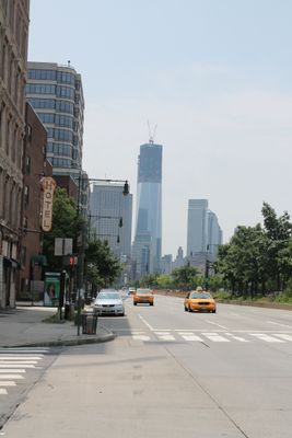
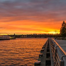
West Side Highway is a waterfront thoroughfare in Manhattan that runs from the north to the southern tip of the island with multiple lanes accommodating different types of traffic. The roadway traces the Hudson River and serves as a major connection along the west side of the borough.
The original elevated structure was built between 1929 and 1951, later closed due to damage, and removed by the early 1990s. A new ground-level version replaced the former route and has defined the waterfront since then.
The roadway links several neighborhoods along Manhattan's west side and serves as a daily route for residents and travelers moving through the city. People use it to access waterfronts and connect different areas of their lives.
The highway is best traversed by car or as part of walking routes, with some sections offering pedestrian areas and park access. It helps to know multiple entry points to reach the waterfront paths and nearby neighborhoods.
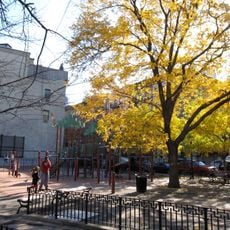
During reconstruction after 2001, the highway was redesigned to include public park access and waterfront paths previously blocked from view. This transformation turned a purely vehicular route into a place where people can experience the river.
The community of curious travelers
AroundUs brings together thousands of curated places, local tips, and hidden gems, enriched daily by 60,000 contributors worldwide.