Enable Location

We need your location to show you interesting places around you

Discover nearby places

Find interesting locations and hidden gems around you

Precise directions

Get accurate directions and distances to places

Your location is never shared with other users. It's only used when you tap the location button.

Montgomery Township

Log in to your account

Start exploring — it's free

Trusted by 65,467 travelers worldwide

Continue with Google
Continue with Apple
or

We will send you a code to connect

By continuing, you accept our Terms and Conditions and our Privacy Policy

Check your inbox

We've sent a pincode in your inbox. Please enter the code below.

Discussion Reviews 2 Photos
19.5k Popularity

Montgomery Township, township in Somerset County, New Jersey

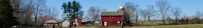
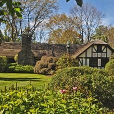
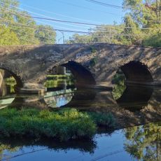
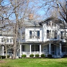
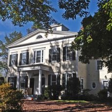
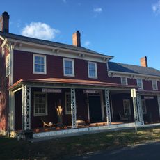
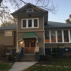
Montgomery Township is a municipality in Somerset County, New Jersey. The area stretches across rolling landscapes between Sourland Mountain and the Millstone River, encompassing several neighborhoods such as Belle Mead, Skillman, and Blawenburg.

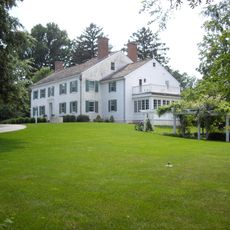
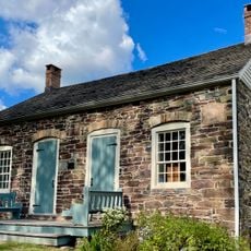
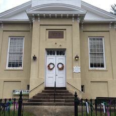
The region was originally inhabited by the Lenni Lenape people, who fished here and called the area Lenapehoking. European settlers of Dutch descent arrived in the 1600s and established farms, while the area officially became Montgomery Township in 1798.

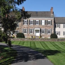
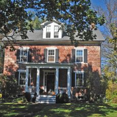
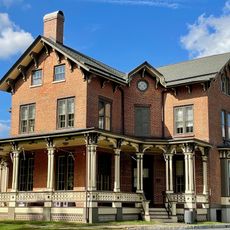
Montgomery Township was named after Colonel Richard Montgomery, a soldier who fought during the American Revolution. The names of local streets and landmarks reflect the early settlers and important events from the community's past.

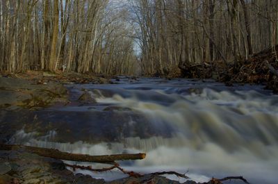
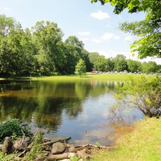
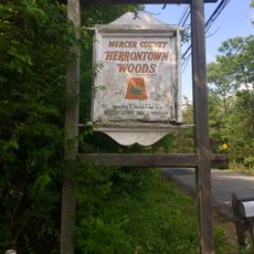
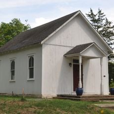
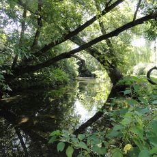
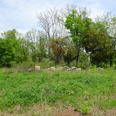
The township provides several parks and green spaces like Skillman Park for walking, biking, and exploring nature. The best way to discover the varied neighborhoods and historical sites is to take time walking through the area and noticing local street names that tell stories from the past.

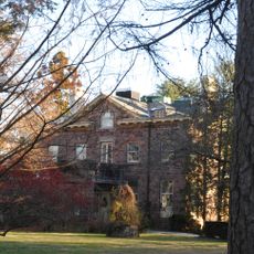
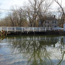
General George Washington passed through Montgomery Township multiple times during the Revolutionary War, traveling between various battlefields and eventually to Yorktown where the British surrendered in 1781. The route crossed this area as a key part of his wartime movements.

The community of curious travelers

AroundUs brings together thousands of curated places, local tips, and hidden gems, enriched daily by 60,000 contributors worldwide.

Start exploring
Location
Inception
February 21, 1798
Shares border with
Hillsborough Township, Franklin Township, Princeton, Hopewell Township, East Amwell Township, Rocky Hill
GPS coordinates
40.42830,-74.67670
Latest update
February 16, 2026 22:40
Around this place
Delaware and Raritan Canal
United States of America

Delaware and Raritan Canal

4.4 km
Lake Carnegie
United States of America

Lake Carnegie

8 km
Sourland Mountain
United States of America

Sourland Mountain

6 km
Sourland Mountain Preserve
United States of America

Sourland Mountain Preserve

5.3 km
Herrontown Woods Arboretum
United States of America

Herrontown Woods Arboretum

6.5 km
Tusculum
United States of America

Tusculum

7 km
Kingston Mill Historic District
United States of America

Kingston Mill Historic District

7.7 km
Maybury Hill
United States of America

Maybury Hill

7.4 km
Donald Grant Herring Estate
United States of America

Donald Grant Herring Estate

5.2 km
Mountain Avenue Historic District
United States of America

Mountain Avenue Historic District

7.9 km
Joseph Stout House
United States of America

Joseph Stout House

6.2 km
Rocky Hill Historic District
United States of America

Rocky Hill Historic District

4.6 km
Dirck Gulick House
United States of America

Dirck Gulick House

2.5 km
Mount Zion African Methodist Episcopal Church
United States of America

Mount Zion African Methodist Episcopal Church

4 km
Kingston Bridge
United States of America

Kingston Bridge

7.7 km
Withington Estate
United States of America

Withington Estate

8.4 km
River Road Historic Rural District
United States of America

River Road Historic Rural District

5 km
Ichabod Leigh House
United States of America

Ichabod Leigh House

7.8 km
Harrys Brook
United States of America

Harrys Brook

8.1 km
Bridgepoint Historic District
United States of America

Bridgepoint Historic District

2.4 km
Maplewood
United States of America

Maplewood

1.7 km
Jedediah Higgins House
United States of America

Jedediah Higgins House

8.2 km
Kingston Presbyterian Church
United States of America

Kingston Presbyterian Church

8 km
Kingston Mill
United States of America

Kingston Mill

7.7 km
Laurel Avenue School
United States of America

Laurel Avenue School

7.7 km
Blawenburg Historic District
United States of America

Blawenburg Historic District

3.1 km
Kingston Village Historic District
United States of America

Kingston Village Historic District

7.9 km
Griggstown Historic District
United States of America

Griggstown Historic District

5.3 km
Show the full map
Reviews
Share your experience

No review yet

Discussions
Start a discussion...

No discussion yet

« Montgomery Township - township in Somerset County, New Jersey » is provided by Around Us (aroundus.com). Images and texts are derived from Wikimedia project under a Creative Commons license. You are allowed to copy, distribute, and modify copies of this page, under the conditions set by the license, as long as this note is clearly visible.

Discover hidden gems everywhere you go!

From secret cafés to breathtaking viewpoints, skip the crowded tourist spots and find places that match your style. Our app makes it easy with voice search, smart filtering, route optimization, and insider tips from travelers worldwide. Download now for the complete mobile experience.

Around Us App Screenshot

A unique approach to discovering new places

Le Figaro

All the places worth exploring

France Info

A tailor-made excursion in just a few clicks

20 Minutes

Around Us
Travel Guide & Maps
Download

Send to your phone

QR Code
1

Open the camera app on your mobile.

2

Point at the QR code with your camera. A notification will appear.

3

Tap the notification to open the link.