Enable Location

We need your location to show you interesting places around you

Discover nearby places

Find interesting locations and hidden gems around you

Precise directions

Get accurate directions and distances to places

Your location is never shared with other users. It's only used when you tap the location button.

Chesterfield County

Log in to your account

Start exploring — it's free

Trusted by 61,788 travelers worldwide

Continue with Google
Continue with Apple
or

We will send you a code to connect

By continuing, you accept our Terms and Conditions and our Privacy Policy

Check your inbox

We've sent a pincode in your inbox. Please enter the code below.

Chesterfield County, Administrative county in Virginia, United States

Description

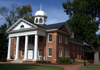
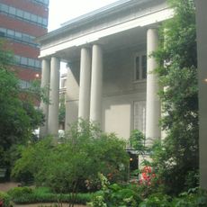
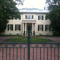
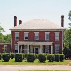
This county sits south of Richmond in Virginia and covers areas between two rivers. Administration is based at the courthouse, where residents handle matters related to taxes and community affairs.

History

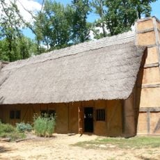
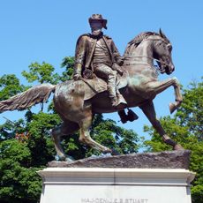
The administrative unit emerged in the mid-18th century and took its name from a British nobleman. Coal deposits attracted settlers early on and later supplied workshops during the war of independence.

Culture

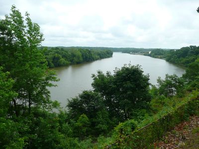
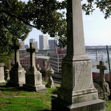
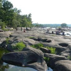
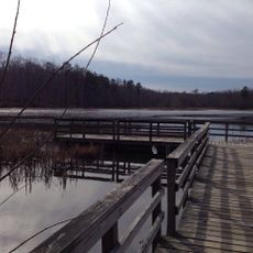
The river forms a natural boundary to the north and still shapes life for many residents today. Along its banks lie smaller communities where you find boat docks and parks for waterside recreation.

Practical

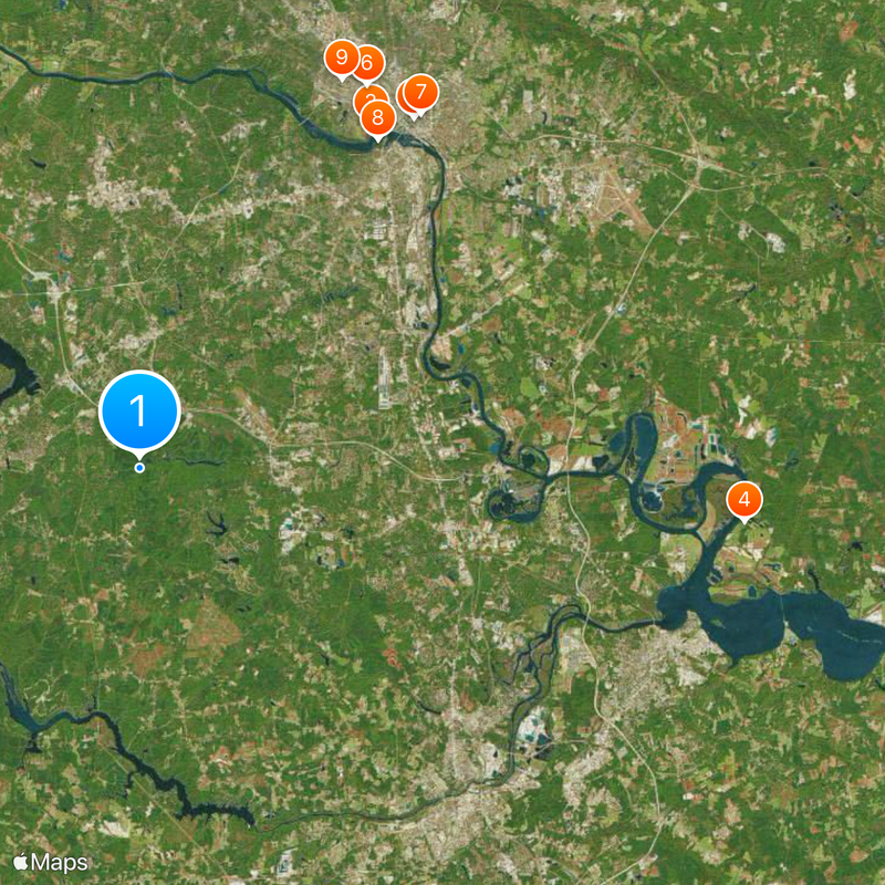
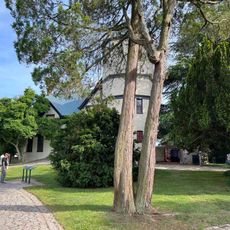
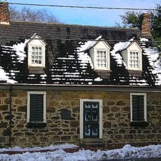
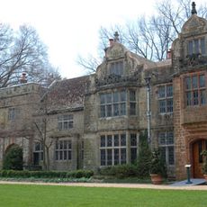
Visitor centers and public buildings spread across several communities, so having a car makes movement much easier. Those with time can explore riverside trails and historic sites along the waterways.

Did you know?

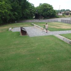
In the area around Drewry's Bluff stand remains of Civil War fortifications that protected the river from attacks. The site shows how important these waterways were for defending the capital.

Location
Inception
May 25, 1749
Capital city
Chesterfield Court House
Shares border with
Powhatan County, Dinwiddie County, Henrico County, Charles City County, Hopewell, Amelia County, Goochland County, Prince George County, Richmond, Colonial Heights, Petersburg
GPS coordinates
37.38000,-77.59000
Latest update
December 13, 2025 19:04

AroundUs brings together thousands of curated places, local tips, and hidden gems, enriched daily by 60,000 contributors worldwide. Discover all places nearby (Virginia).

Around this place
Virginia State Capitol
United States of America

Virginia State Capitol

22.4 km
Hollywood Cemetery
United States of America

Hollywood Cemetery

20.9 km
Shirley Plantation
United States of America

Shirley Plantation

30.7 km
Monument Avenue
United States of America

Monument Avenue

22.5 km
Robert E. Lee Monument
United States of America

Robert E. Lee Monument

22.5 km
White House of the Confederacy
United States of America

White House of the Confederacy

22.8 km
Belle Isle
United States of America

Belle Isle

20.5 km
Virginia Museum of Fine Arts
United States of America

Virginia Museum of Fine Arts

22.1 km
Henricus
United States of America

Henricus

20.2 km
Governor’s Mansion
United States of America

Governor’s Mansion

22.5 km
Maymont Park
United States of America

Maymont Park

19.9 km
Jefferson Davis Monument
United States of America

Jefferson Davis Monument

22.6 km
Stonewall Jackson Statue
United States of America

Stonewall Jackson Statue

22.7 km
Lumpkin's jail
United States of America

Lumpkin's jail

22.5 km
James River and Kanawha Canal
United States of America

James River and Kanawha Canal

22 km
St. John's Episcopal Church
United States of America

St. John's Episcopal Church

22.6 km
Jefferson Hotel
United States of America

Jefferson Hotel

22.3 km
Maggie L. Walker Governor's School for Government and International Studies
United States of America

Maggie L. Walker Governor's School for Government and International Studies

23.2 km
Agecroft Hall
United States of America

Agecroft Hall

20.6 km
General J E B Stuart Statue
United States of America

General J E B Stuart Statue

22.5 km
Varina Farms
United States of America

Varina Farms

22.5 km
City Stadium
United States of America

City Stadium

21 km
Edgar Allan Poe Museum
United States of America

Edgar Allan Poe Museum

22.3 km
George Washington
United States of America

George Washington

22.4 km
Pocahontas State Park
United States of America

Pocahontas State Park

1.7 km
Virginia Historical Society
United States of America

Virginia Historical Society

22.3 km
Virginia House
United States of America

Virginia House

20.8 km
Blandford Cemetery
United States of America

Blandford Cemetery

25.3 km
Show the full map
« Chesterfield County - Administrative county in Virginia, United States » is provided by Around Us (aroundus.com). Images and texts are derived from Wikimedia project under a Creative Commons license. You are allowed to copy, distribute, and modify copies of this page, under the conditions set by the license, as long as this note is clearly visible.

Discover hidden gems everywhere you go!

From secret cafés to breathtaking viewpoints, skip the crowded tourist spots and find places that match your style. Our app makes it easy with voice search, smart filtering, route optimization, and insider tips from travelers worldwide. Download now for the complete mobile experience.

Around Us App Screenshot

A unique approach to discovering new places

Le Figaro

All the places worth exploring

France Info

A tailor-made excursion in just a few clicks

20 Minutes

Around Us
Travel Guide & Maps
Download

Send to your phone

QR Code
1

Open the camera app on your mobile.

2

Point at the QR code with your camera. A notification will appear.

3

Tap the notification to open the link.