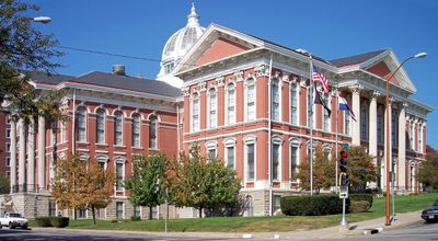
Buchanan County, County in northwestern Missouri, United States.
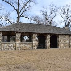
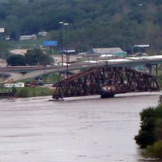
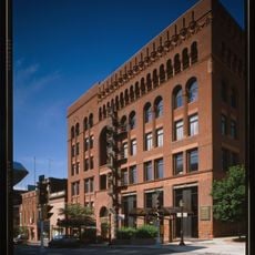
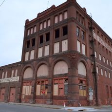
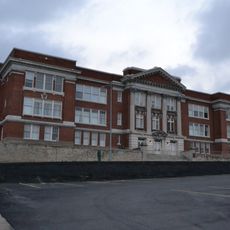
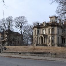
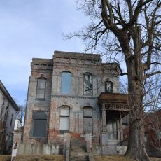
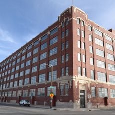
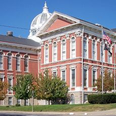
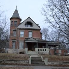
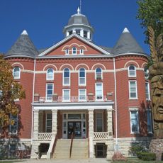
Buchanan County is an administrative region in northwestern Missouri covering roughly 415 square miles, with the Missouri River running along its western edge. The county includes Saint Joseph and features a mix of river bottomland and rolling terrain typical of the region.
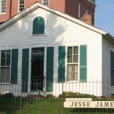
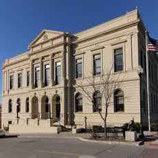
The county was first organized in 1838 as Roberts County before being renamed Buchanan County in 1839 to honor James Buchanan, who would later serve as the fifteenth U.S. President. Its establishment reflected the westward growth of Missouri during the 1830s.
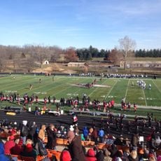
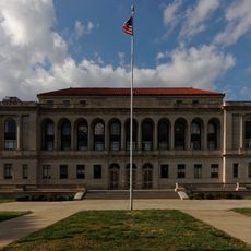
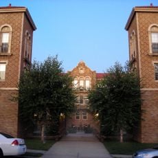
Missouri Western State University in Saint Joseph draws students from across the region and helps shape the community's character. The institution anchors the local education landscape and creates a campus presence in the area.
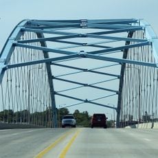
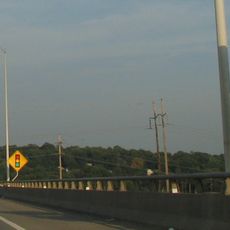
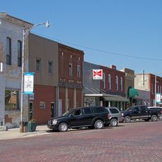
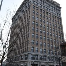
The county is easily accessible via Interstate 29 and US Highway 36, making it a convenient connection point for travelers moving through the region. Most services and amenities are concentrated in Saint Joseph.
The county was named after James Buchanan before he became President, making it an unusual example of a region named after someone who rose to national office afterward. This historical link often escapes notice from passing travelers.
The community of curious travelers
AroundUs brings together thousands of curated places, local tips, and hidden gems, enriched daily by 60,000 contributors worldwide.