Douglas County, Administrative county in south-central Missouri, US.
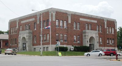
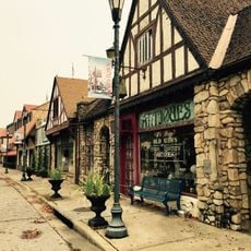
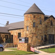
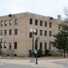
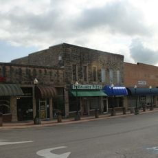
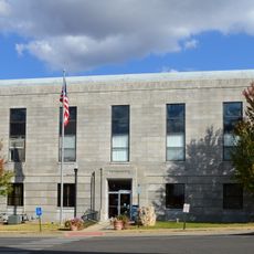
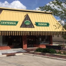
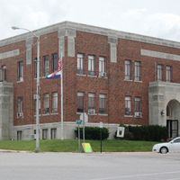
Douglas County is an administrative division in south-central Missouri covering approximately 815 square miles of rural land. Ava serves as its administrative center and is the primary town where county services and government offices are located.
The county was established in October 1857 and moved its administrative center several times before settling permanently in Ava in 1871. These early relocations reflected the region's growing development and shifting settlement patterns.
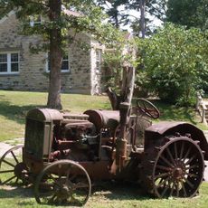
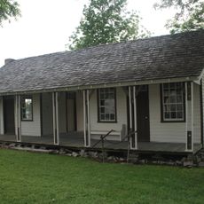
Farming shapes daily life throughout the county, with many residents working the land and caring for livestock. You'll notice how fields cover the landscape and how deeply rooted agricultural traditions are to the community here.
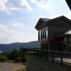
Visitors can access county services and complete administrative tasks in Ava, which has basic facilities for travelers and is easy to navigate. The best time to explore is during warmer months when roads and outdoor areas are most accessible.
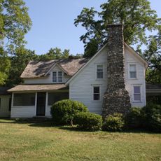
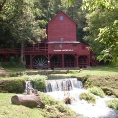
The Battle of Clark's Mill occurred in 1862 near Vera Cruz, a former county seat now remembered mainly as a historical site. This Civil War event links the rural landscape to a dramatic moment in the region's past.
The community of curious travelers
AroundUs brings together thousands of curated places, local tips, and hidden gems, enriched daily by 60,000 contributors worldwide.