Enable Location

We need your location to show you interesting places around you

Discover nearby places

Find interesting locations and hidden gems around you

Precise directions

Get accurate directions and distances to places

Your location is never shared with other users. It's only used when you tap the location button.

Patuxent River

Log in to your account

Start exploring — it's free

Trusted by 67,587 travelers worldwide

Continue with Google
Continue with Apple
or

We will send you a code to connect

By continuing, you accept our Terms and Conditions and our Privacy Policy

Check your inbox

We've sent a pincode in your inbox. Please enter the code below.

Patuxent River
Discussion Reviews 1 Photos
30.1k Popularity

Patuxent River, River in central Maryland, United States.

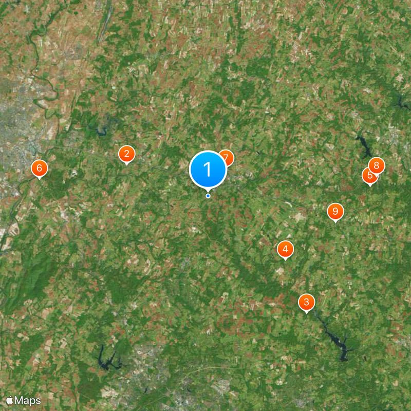
The Patuxent River flows about 115 miles through Maryland and connects eight counties from Mount Airy to the Chesapeake Bay. Along its path the river forms natural boundaries and creates a waterway that cuts through many small communities.

People first settled along the Patuxent River banks around 1100 BC and left behind archaeological evidence such as pottery and building structures. These early settlements created a pattern of habitation along the waterway that would continue for thousands of years.

The river's name comes from Algonquin language and first appeared on John Smith's 1608 map during early colonial times. Today people fish and paddle on the water while living alongside this long-standing linguistic connection to the region's past.

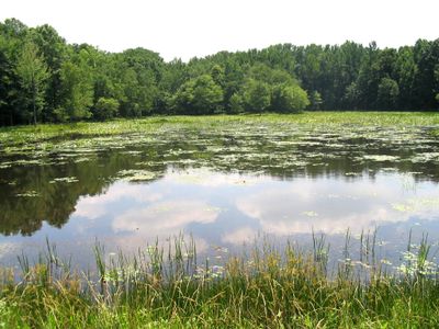
The river has multiple access points for activities like fishing, boating, and kayaking throughout its watershed. Visiting different sections at different times of year helps you understand how water levels and conditions change with the seasons.

The river is the largest waterway located entirely within Maryland's borders and its watershed covers a substantial portion of the state. This geographic distinction makes it a key water system for the entire region.

The community of curious travelers

AroundUs brings together thousands of curated places, local tips, and hidden gems, enriched daily by 60,000 contributors worldwide.

Start exploring
Location
Location
Location
Location
GPS coordinates
39.34871,-77.17748
Latest update
December 20, 2025 02:41
Around this place
Adventure Park USA
United States of America

Adventure Park USA

9.3 km
Patuxent River State Park
United States of America

Patuxent River State Park

16.2 km
Oakdale Manor
United States of America

Oakdale Manor

10.6 km
Hugg-Thomas Wildlife Management Area
United States of America

Hugg-Thomas Wildlife Management Area

17.3 km
Gambrill House
United States of America

Gambrill House

18.1 km
Mount Airy Historic District
United States of America

Mount Airy Historic District

3.5 km
Sykesville Historic District
United States of America

Sykesville Historic District

18.1 km
Roberts Inn
United States of America

Roberts Inn

13.8 km
Round About Hills
United States of America

Round About Hills

15.1 km
Little Pipe Creek bridge and viaduct
United States of America

Little Pipe Creek bridge and viaduct

9.9 km
Abraham Jones House
United States of America

Abraham Jones House

16.1 km
Cherry Grove
United States of America

Cherry Grove

9.4 km
Fat Oxen
United States of America

Fat Oxen

15.5 km
Layton House
United States of America

Layton House

15.5 km
Hobson's Choice
United States of America

Hobson's Choice

8.7 km
Thomas Maynard House
United States of America

Thomas Maynard House

12.6 km
Drummine Farm
United States of America

Drummine Farm

10.5 km
Johnson-Wolfe Farm
United States of America

Johnson-Wolfe Farm

18.7 km
Clover Hill
United States of America

Clover Hill

17.3 km
Oaks II
United States of America

Oaks II

17.5 km
Clarksburg School
United States of America

Clarksburg School

15.3 km
14th New Jersey Volunteer Infantry monument
United States of America

14th New Jersey Volunteer Infantry monument

18.7 km
McMurray-Frizzell-Aldridge Farm
United States of America

McMurray-Frizzell-Aldridge Farm

17.3 km
Monocacy National Battlefield
United States of America

Monocacy National Battlefield

18.6 km
The Original Playhouse Children's Museum
United States of America

The Original Playhouse Children's Museum

8.8 km
Rachel Carson Conservation Park
United States of America

Rachel Carson Conservation Park

17.7 km
New Market Historic District
United States of America

New Market Historic District

8.8 km
Landon House
United States of America

Landon House

14.8 km
Show the full map
Reviews
Share your experience

No review yet

Discussions
Start a discussion...

No discussion yet

« Patuxent River - River in central Maryland, United States » is provided by Around Us (aroundus.com). Images and texts are derived from Wikimedia project under a Creative Commons license. You are allowed to copy, distribute, and modify copies of this page, under the conditions set by the license, as long as this note is clearly visible.

Discover hidden gems everywhere you go!

From secret cafés to breathtaking viewpoints, skip the crowded tourist spots and find places that match your style. Our app makes it easy with voice search, smart filtering, route optimization, and insider tips from travelers worldwide. Download now for the complete mobile experience.

Around Us App Screenshot

A unique approach to discovering new places

Le Figaro

All the places worth exploring

France Info

A tailor-made excursion in just a few clicks

20 Minutes

Around Us
Travel Guide & Maps
Download

Send to your phone

QR Code
1

Open the camera app on your mobile.

2

Point at the QR code with your camera. A notification will appear.

3

Tap the notification to open the link.