
Clark County, Administrative county in western Ohio, United States
Clark County extends across 104,500 hectares of land in Ohio, with Springfield serving as the administrative center and largest population hub.
The county was established on March 1, 1818, during the western expansion period and received its name from General William Clark of the Lewis and Clark Expedition.
Springfield residents participate in numerous local events throughout the seasons, from agricultural fairs to educational programs at community centers.
The county administration manages public services from Springfield, with multiple government offices located in the central district for resident accessibility.
Clark County contains 900 hectares of water bodies integrated within its territory, creating a network of natural resources for the local population.
Location: Ohio
Inception: March 1, 1818
Capital city: Springfield
Shares border with: Champaign County, Madison County, Greene County, Montgomery County, Miami County
Website: http://clarkcountyohio.gov
GPS coordinates: 39.92000,-83.78000
Latest update: May 27, 2025 09:58

Westcott House
799 m
Nutter Center
28.1 km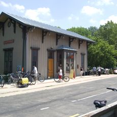
Little Miami Scenic Trail
15.6 km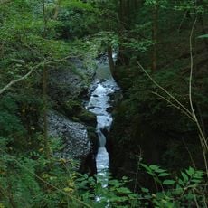
John Bryan State Park
15.5 km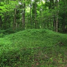
Glen Helen Nature Preserve
16.1 km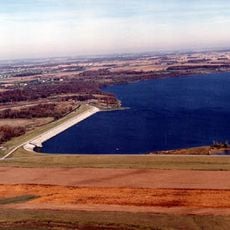
Buck Creek State Park
7.3 km
Carl Potter Mound
20.2 km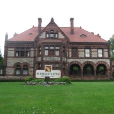
East High Street Historic District
1.4 km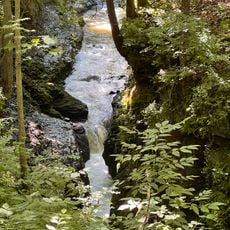
Clifton Gorge State Nature Preserve
15.6 km
Orators Mound
15.5 km
Third Presbyterian Church
2.6 km
Fairborn Twin Cinemas
24 km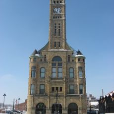
Clark County Heritage Center
2.7 km
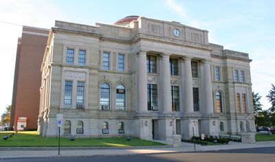
Clark County Courthouse
2.2 km
Odd Fellows' Home for Orphans, Indigent and Aged
2.8 km
Masonic Temple
2.9 km
Yellow Springs Historic District
16.1 km
South Fountain Avenue Historic District
2.8 km
Daniel Hertzler House
11.3 km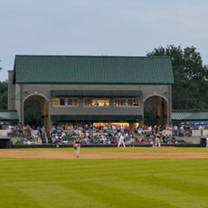
Carleton Davidson Stadium
2.2 km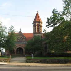
Warder Public Library
2.3 km
Antioch Hall, North and South Halls
16.3 km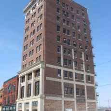
Tecumseh Building
2.7 km
Lagonda Club Building
2.4 km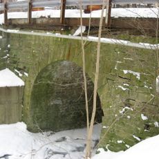
Old Enon Road Stone Arch Culvert
10.2 km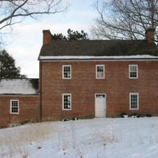
David Crabill House
5.3 km
Mercer Log House
23.8 km
Yellow Springs Branch Library
16.1 kmReviews
Visited this place? Tap the stars to rate it and share your experience / photos with the community! Try now! You can cancel it anytime.

Discover hidden gems everywhere you go!
From secret cafés to breathtaking viewpoints, skip the crowded tourist spots and find places that match your style. Our app makes it easy with voice search, smart filtering, route optimization, and insider tips from travelers worldwide. Download now for the complete mobile experience.

A unique approach to discovering new places❞
— Le Figaro
All the places worth exploring❞
— France Info
A tailor-made excursion in just a few clicks❞
— 20 Minutes