Enable Location

We need your location to show you interesting places around you

Discover nearby places

Find interesting locations and hidden gems around you

Precise directions

Get accurate directions and distances to places

Your location is never shared with other users. It's only used when you tap the location button.

St. Clair County

Log in to your account

Start exploring — it's free

Trusted by 63,493 travelers worldwide

Continue with Google
Continue with Apple
or

We will send you a code to connect

By continuing, you accept our Terms and Conditions and our Privacy Policy

Check your inbox

We've sent a pincode in your inbox. Please enter the code below.

Discussion Reviews 3 Photos
51.7k Popularity

St. Clair County, Administrative division in Alabama, United States

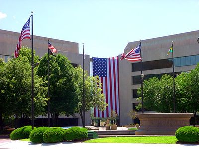
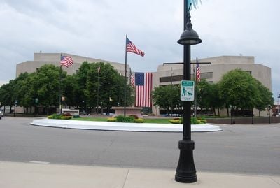
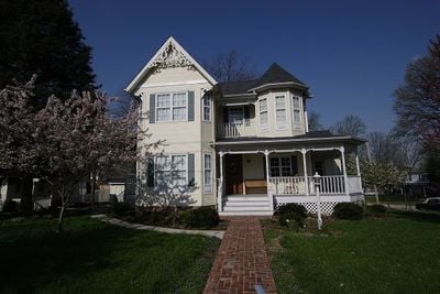
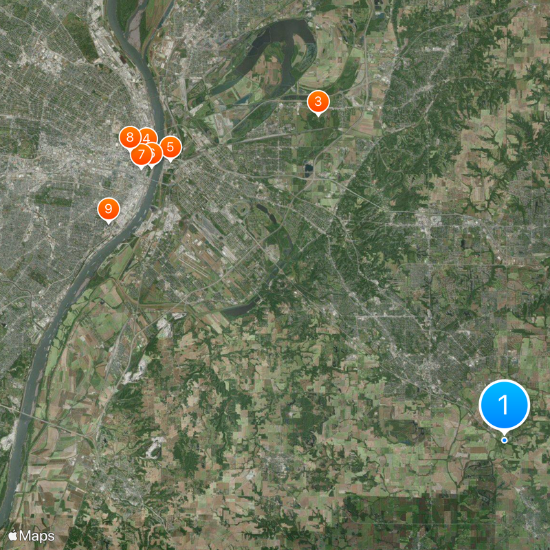
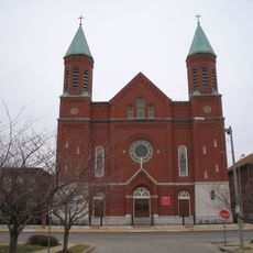
St. Clair County is an administrative division in Illinois that spans across a mix of communities, farmland, and developed areas. The county includes several towns and villages connected by highways and local roads that form its basic infrastructure.

The county was established in 1818 as a separate administrative region during the early territorial expansion of Illinois. Its growth reflected the pattern of settlement and development that characterized the broader frontier period of the American Midwest.

The population of St. Clair County represents diverse backgrounds, with 82.28% White, 9.46% Black or African American, and 4.16% mixed-race residents.

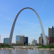
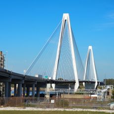
The area is accessible by major highways and state routes that connect the county to surrounding regions. Visitors should plan for travel times between communities as they are spread across the county rather than concentrated in one location.

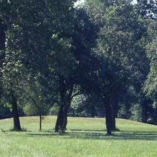
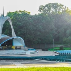
Logan Martin Lake within St. Clair County provides fishing opportunities, while Horse Pens 40 park displays natural rock formations on Chandler Mountain.

The community of curious travelers

AroundUs brings together thousands of curated places, local tips, and hidden gems, enriched daily by 60,000 contributors worldwide.

Start exploring
Location
Inception
April 27, 1790
Capital city
Belleville
Shares border with
Madison County, Randolph County, Monroe County, Clinton County, Washington County, St. Louis County, St. Louis
GPS coordinates
38.47000,-89.93000
Latest update
December 14, 2025 18:15
Around this place
Gateway Arch
United States of America

Gateway Arch

28.1 km
Cahokia
United States of America

Cahokia

23.6 km
The Dome at America's Center
United States of America

The Dome at America's Center

28.9 km
Eads Bridge
United States of America

Eads Bridge

27.4 km
Gateway Arch National Park
United States of America

Gateway Arch National Park

28.1 km
Busch Memorial Stadium
United States of America

Busch Memorial Stadium

28.6 km
City Museum
United States of America

City Museum

29.8 km
Lemp Mansion
United States of America

Lemp Mansion

28.4 km
World Wide Technology Raceway at Gateway
United States of America

World Wide Technology Raceway at Gateway

26.9 km
Wainwright Building
United States of America

Wainwright Building

28.7 km
Cathedral Basilica of Saint Louis
United States of America

Cathedral Basilica of Saint Louis

34.2 km
Missouri Botanical Garden
United States of America

Missouri Botanical Garden

32.8 km
Harris–Stowe State University
United States of America

Harris–Stowe State University

31.6 km
Fox Theatre
United States of America

Fox Theatre

32.3 km
Kiel Auditorium
United States of America

Kiel Auditorium

29.5 km
World Chess Hall of Fame
United States of America

World Chess Hall of Fame

34.7 km
St. Louis Public Library
United States of America

St. Louis Public Library

29.5 km
Anheuser-Busch Brewery
United States of America

Anheuser-Busch Brewery

28.4 km
Stan Musial Veterans Memorial Bridge
United States of America

Stan Musial Veterans Memorial Bridge

29.1 km
Stifel Theatre
United States of America

Stifel Theatre

29.5 km
Old Courthouse
United States of America

Old Courthouse

28.5 km
Sumner High School
United States of America

Sumner High School

34.2 km
Mound 72
United States of America

Mound 72

23.2 km
St. Stanislaus Kostka Church
United States of America

St. Stanislaus Kostka Church

30.7 km
National Shrine of Our Lady of the Snows
United States of America

National Shrine of Our Lady of the Snows

17.4 km
One Metropolitan Square
United States of America

One Metropolitan Square

28.6 km
Bloody Island
United States of America

Bloody Island

28.3 km
Homer G. Phillips Hospital
United States of America

Homer G. Phillips Hospital

33.9 km
Show the full map
Reviews
Share your experience

No review yet

Discussions
Start a discussion...

No discussion yet

« St. Clair County - Administrative division in Alabama, United States » is provided by Around Us (aroundus.com). Images and texts are derived from Wikimedia project under a Creative Commons license. You are allowed to copy, distribute, and modify copies of this page, under the conditions set by the license, as long as this note is clearly visible.

Discover hidden gems everywhere you go!

From secret cafés to breathtaking viewpoints, skip the crowded tourist spots and find places that match your style. Our app makes it easy with voice search, smart filtering, route optimization, and insider tips from travelers worldwide. Download now for the complete mobile experience.

Around Us App Screenshot

A unique approach to discovering new places

Le Figaro

All the places worth exploring

France Info

A tailor-made excursion in just a few clicks

20 Minutes

Around Us
Travel Guide & Maps
Download

Send to your phone

QR Code
1

Open the camera app on your mobile.

2

Point at the QR code with your camera. A notification will appear.

3

Tap the notification to open the link.