
Montgomery County, Administrative division in Maryland, United States.
Montgomery County encompasses 506 square miles of rolling hills near Washington D.C., with Rockville serving as the county seat and Germantown as its largest community.
The county formed from Frederick County lands in 1776, receiving its name from General Richard Montgomery during the American Revolutionary War period.
Religious institutions representing multiple faiths operate within the county, with 776 congregations making it the most religiously diverse county in the United States.
The Montgomery County Department of Health and Human Services coordinates integrated medical care, mental health programs, and social support through multiple locations.
Federal agencies including the National Institutes of Health and Food and Drug Administration maintain substantial facilities within Montgomery County's boundaries.
Location: New York
Inception: March 12, 1772
Capital city: Fonda
Shares border with: Fulton County, Saratoga County, Schenectady County, Schoharie County, Otsego County, Herkimer County
Website: http://co.montgomery.ny.us
GPS coordinates: 42.91000,-74.44000
Latest update: May 27, 2025 08:53
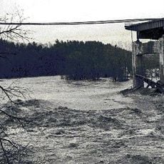
Schoharie Creek Bridge collapse
13.4 km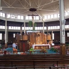
National Shrine of the North American Martyrs
11.4 km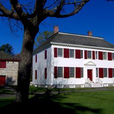
Johnson Hall State Historic Site
12.7 km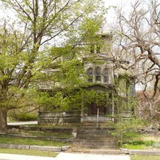
Webster Wagner House
10.6 km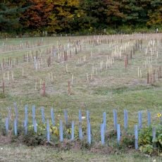
Caughnawaga Indian Village Site
6.3 km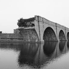
Schoharie Crossing State Historic Site
13 km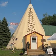
The Tepee
23 km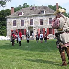
Old Fort Johnson
17 km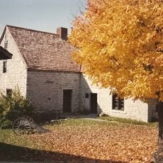
Fort Klock
19.1 km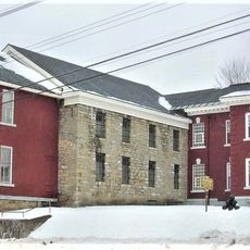
Tryon County Jail
11.8 km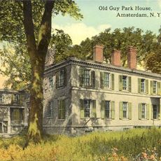
Guy Park
19.2 km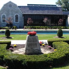
Arkell Museum
10.8 km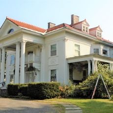
Knox Mansion
11.4 km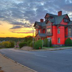
Greene Mansion
20.6 km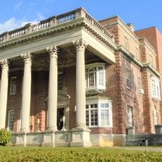
Amsterdam City Hall
14.8 km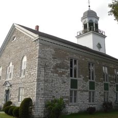
Reformed Dutch Church of Stone Arabia
10.2 km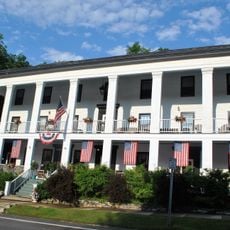
American Hotel
19.4 km
George Landis Arboretum
19.7 km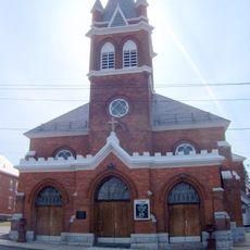
Saint Stanislaus Roman Catholic Church Complex
21.3 km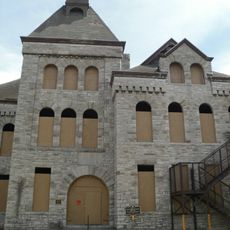
West Hill School
10.9 km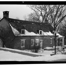
Van Alstyne House
10.9 km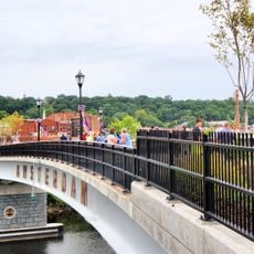
Mohawk Valley Gateway Overlook pedestrian bridge
20.2 km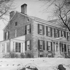
Frey House
11.8 km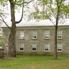
Ames Academy Building
15.4 km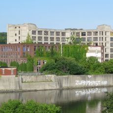
Chalmers Knitting Mills
20.1 km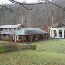
Sharon Springs Historic District
19.4 km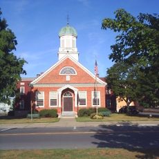
Fulton County Courthouse
12 km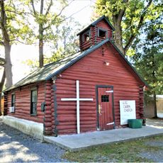
Log Cabin Church
19.1 kmReviews
Visited this place? Tap the stars to rate it and share your experience / photos with the community! Try now! You can cancel it anytime.
Discover hidden gems everywhere you go!
From secret cafés to breathtaking viewpoints, skip the crowded tourist spots and find places that match your style. Our app makes it easy with voice search, smart filtering, route optimization, and insider tips from travelers worldwide. Download now for the complete mobile experience.

A unique approach to discovering new places❞
— Le Figaro
All the places worth exploring❞
— France Info
A tailor-made excursion in just a few clicks❞
— 20 Minutes