Enable Location

We need your location to show you interesting places around you

Discover nearby places

Find interesting locations and hidden gems around you

Precise directions

Get accurate directions and distances to places

Your location is never shared with other users. It's only used when you tap the location button.

Lawrence County

Log in to your account

Start exploring — it's free

Trusted by 62,168 travelers worldwide

Continue with Google
Continue with Apple
or

We will send you a code to connect

By continuing, you accept our Terms and Conditions and our Privacy Policy

Check your inbox

We've sent a pincode in your inbox. Please enter the code below.

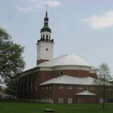
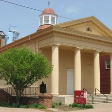
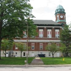
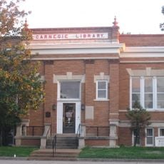
Lawrence County, Administrative county in Illinois, United States.

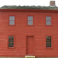
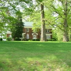
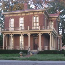
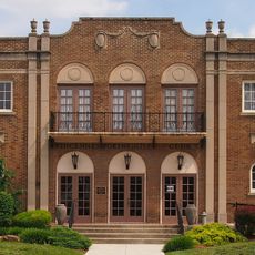
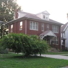
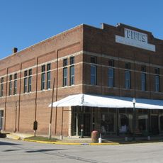
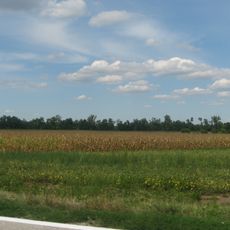
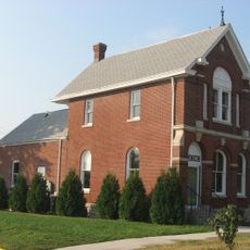
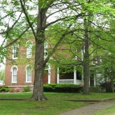
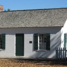
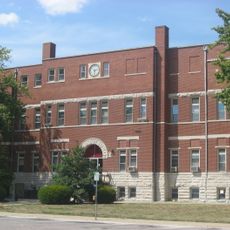
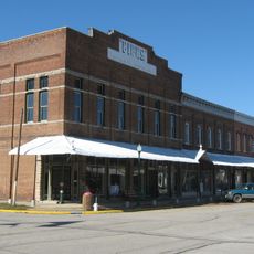
Lawrence County is an administrative county in Illinois featuring a mix of farmland, small towns, and rural residential areas spread across the region. The landscape is characterized by open fields and scattered communities that define the rural character of the area.

The area was established as an administrative division in 1821 and named after James Lawrence, a Navy officer from the War of 1812. Its creation was part of Illinois' expansion and administrative reorganization during the early 1800s.

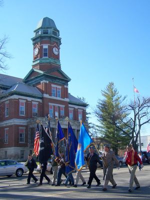
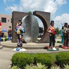
The residents of Lawrence County maintain strong agricultural traditions through regular farmers' markets, county fairs, and seasonal harvest celebrations throughout the year.

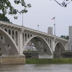
The county is accessible via U.S. Routes 50 and 250, which cross through the region and provide convenient connections. These transportation routes make it easy to travel between different communities and explore the various towns.

The county sits at the intersection of U.S. Route 50 and U.S. Route 250, creating a central transportation hub for agricultural and commercial activities.

The community of curious travelers

AroundUs brings together thousands of curated places, local tips, and hidden gems, enriched daily by 60,000 contributors worldwide.

Start exploring
Location
Inception
1821
Capital city
Lawrenceville
Shares border with
Crawford County, Wabash County, Knox County, Richland County
GPS coordinates
38.72000,-87.73000
Latest update
December 7, 2025 20:50
Around this place
Grouseland
United States of America

Grouseland

18.1 km
George Rogers Clark National Historical Park
United States of America

George Rogers Clark National Historical Park

17.5 km
Forts of Vincennes
United States of America

Forts of Vincennes

17.5 km
St. Francis Xavier Cathedral and Library
United States of America

St. Francis Xavier Cathedral and Library

17.6 km
Lincoln Memorial Bridge
United States of America

Lincoln Memorial Bridge

17.4 km
Pyramid Mound
United States of America

Pyramid Mound

20.2 km
Red Hills State Park
United States of America

Red Hills State Park

9.2 km
Indiana Territorial Capitol
United States of America

Indiana Territorial Capitol

18.2 km
Shadowwood
United States of America

Shadowwood

27.2 km
Ambrose Hopkinson House
United States of America

Ambrose Hopkinson House

30.9 km
American Trust and Savings Bank
United States of America

American Trust and Savings Bank

31.4 km
Vincennes Fortnightly Club
United States of America

Vincennes Fortnightly Club

18.4 km
Elliott Street Historic District
United States of America

Elliott Street Historic District

30.4 km
Bridge at Thirteenth Street
United States of America

Bridge at Thirteenth Street

15.7 km
Fife Opera House
United States of America

Fife Opera House

33 km
Swan Island Site
United States of America

Swan Island Site

22.3 km
Old State Bank
United States of America

Old State Bank

17.8 km
Lawrence County Courthouse
United States of America

Lawrence County Courthouse

4.2 km
Olney Carnegie Library
United States of America

Olney Carnegie Library

30.5 km
Hack and Simon Office Building
United States of America

Hack and Simon Office Building

18.7 km
Larchmound
United States of America

Larchmound

30.5 km
Beall-Orr House
United States of America

Beall-Orr House

34.4 km
John B. Harper House
United States of America

John B. Harper House

33.2 km
Crawford County Courthouse
United States of America

Crawford County Courthouse

31.8 km
Indiana Military Museum
United States of America

Indiana Military Museum

17.5 km
Palestine Commercial Historic District
United States of America

Palestine Commercial Historic District

33 km
The Red Skelton Museum of American Comedy
United States of America

The Red Skelton Museum of American Comedy

18.8 km
Harrison Mansion
United States of America

Harrison Mansion

18.1 km
Show the full map
« Lawrence County - Administrative county in Illinois, United States » is provided by Around Us (aroundus.com). Images and texts are derived from Wikimedia project under a Creative Commons license. You are allowed to copy, distribute, and modify copies of this page, under the conditions set by the license, as long as this note is clearly visible.

Discover hidden gems everywhere you go!

From secret cafés to breathtaking viewpoints, skip the crowded tourist spots and find places that match your style. Our app makes it easy with voice search, smart filtering, route optimization, and insider tips from travelers worldwide. Download now for the complete mobile experience.

Around Us App Screenshot

A unique approach to discovering new places

Le Figaro

All the places worth exploring

France Info

A tailor-made excursion in just a few clicks

20 Minutes

Around Us
Travel Guide & Maps
Download

Send to your phone

QR Code
1

Open the camera app on your mobile.

2

Point at the QR code with your camera. A notification will appear.

3

Tap the notification to open the link.