Delta County

Log in to your account

AroundUs is a community-driven map of interesting places, built by curious explorers like you. It grows with every review, story, and photo you share.
Connect to save your favorite spots, contribute locations, and create personalized routes.
Continue with Google
Continue with Apple
Continue with X
Continue with Facebook
Continue with email
By continuing, you accept our Terms and Conditions and our Privacy Policy
Create an account
Add to collection
Map
Suggest a change
Share

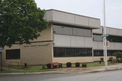
Delta County, Administrative county in Upper Peninsula, Michigan, United States.

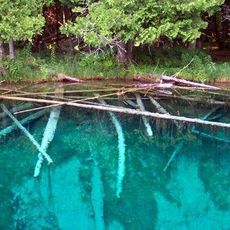
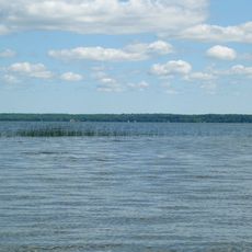
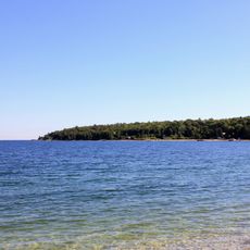
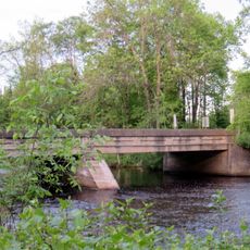
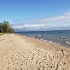
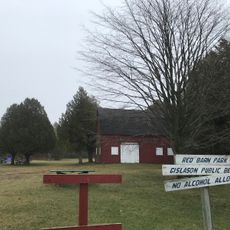
Delta County is an administrative area in Michigan's Upper Peninsula composed of forests, small communities, and a rocky shoreline along Lake Michigan. The landscape shows a mix of woodlands, wetlands, and water bodies that create a varied terrain throughout the region.

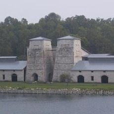
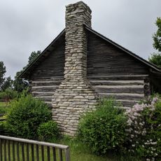
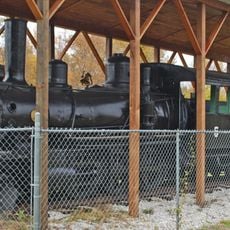
The territory became a county in 1843 when officials chose the name for its triangular shape resembling the Greek letter delta. Early development centered on logging operations, followed by iron and copper mining that attracted workers and built communities.

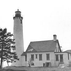
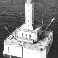
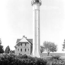
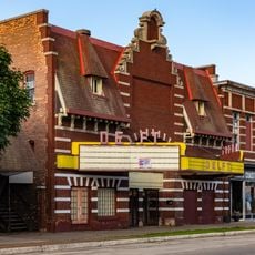
The area carries deep roots in logging, mining, and Great Lakes commerce that shaped how residents relate to the land and water around them. You can see this connection in local gatherings and traditions that still honor these ways of working.

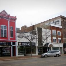
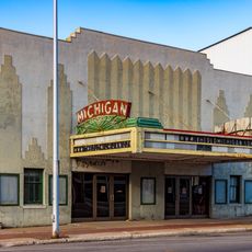
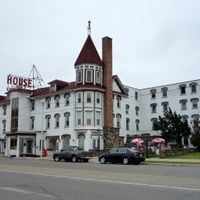
Escanaba serves as the main hub for services and supplies throughout the area. The region is rural and spread out, so planning ahead helps when visiting different parts of the county.

Large portions of the Hiawatha National Forest fall within the county, offering visitors access to one of the region's older protected woodlands with numerous lakes and trails. This forest landscape remains less crowded than destinations closer to major cities.

Location: Michigan

Inception: March 9, 1843

Capital city: Escanaba

Shares border with: Alger County, Door County, Schoolcraft County, Marquette County, Menominee County

Website: http://deltacountymi.org

GPS coordinates: 45.78000,-86.87000

Latest update: December 7, 2025 19:27

Photos
Around this place
Fayette Historic State Park
United States of America

Fayette Historic State Park

17.7 km
Palms Book State Park
United States of America

Palms Book State Park

45.8 km
Rock Island State Park
United States of America

Rock Island State Park

40.7 km
Peninsula Point Light
United States of America

Peninsula Point Light

14.6 km
Indian Lake State Park
United States of America

Indian Lake State Park

45.5 km
Spider Cave
United States of America

Spider Cave

17 km
Sand Point Light
United States of America

Sand Point Light

14.1 km
Pottawatomie Light
United States of America

Pottawatomie Light

39.3 km
Poverty Island Light Station
United States of America

Poverty Island Light Station

32.4 km
Minneapolis Shoal Light Station
United States of America

Minneapolis Shoal Light Station

24.3 km
St. Martin Island Light
United States of America

St. Martin Island Light

32.1 km
Delta Hotel
United States of America

Delta Hotel

14.9 km
Escanaba Central Historic District
United States of America

Escanaba Central Historic District

15.3 km
School House Beach Park
United States of America

School House Beach Park

42.8 km
Thordarson Estate Historic District
United States of America

Thordarson Estate Historic District

41.2 km
Carnegie Public Library
United States of America

Carnegie Public Library

15 km
County Road I-39–Rapid River Bridge
United States of America

County Road I-39–Rapid River Bridge

28.3 km
King Road–Whitefish River Bridge
United States of America

King Road–Whitefish River Bridge

56.5 km
Water Tower
United States of America

Water Tower

41.2 km
Fragrant Isle Lavender Farm & Shop
United States of America

Fragrant Isle Lavender Farm & Shop

45 km
Jacobsen Museum
United States of America

Jacobsen Museum

41.9 km
Escanaba Public Beach
United States of America

Escanaba Public Beach

14.5 km
Washington Island Farm Museum
United States of America

Washington Island Farm Museum

43.1 km
William Bonifas Fine Art Center
United States of America

William Bonifas Fine Art Center

15 km
Nahma and Northern Railway no. 5
United States of America

Nahma and Northern Railway no. 5

17.3 km
Michigan Theatre
United States of America

Michigan Theatre

15.1 km
Delft Theatre
United States of America

Delft Theatre

15.3 km
Gislason Beach
United States of America

Gislason Beach

49.2 km
Show the full map
Reviews

Visited this place? Tap the stars to rate it and share your experience / photos with the community! Try now! You can cancel it anytime.

Administrative divisions
« Delta County - Administrative county in Upper Peninsula, Michigan, United States » is provided by Around Us (aroundus.com). Images and texts are derived from Wikimedia project under a Creative Commons license. You are allowed to copy, distribute, and modify copies of this page, under the conditions set by the license, as long as this note is clearly visible.

Discover hidden gems everywhere you go!

From secret cafés to breathtaking viewpoints, skip the crowded tourist spots and find places that match your style. Our app makes it easy with voice search, smart filtering, route optimization, and insider tips from travelers worldwide. Download now for the complete mobile experience.

Around Us App Screenshot

A unique approach to discovering new places

Le Figaro

All the places worth exploring

France Info

A tailor-made excursion in just a few clicks

20 Minutes