Enable Location

We need your location to show you interesting places around you

Discover nearby places

Find interesting locations and hidden gems around you

Precise directions

Get accurate directions and distances to places

Your location is never shared with other users. It's only used when you tap the location button.

Morgan County

Log in to your account

Start exploring — it's free

Trusted by 62,227 travelers worldwide

Continue with Google
Continue with Apple
or

We will send you a code to connect

By continuing, you accept our Terms and Conditions and our Privacy Policy

Check your inbox

We've sent a pincode in your inbox. Please enter the code below.

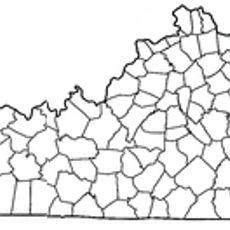
Morgan County, Administrative county in eastern Kentucky, United States.

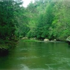
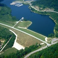
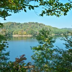
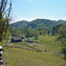
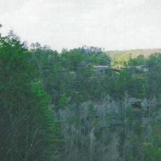
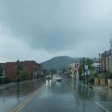
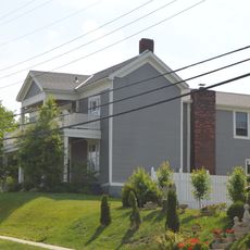
Morgan County is an administrative county in eastern Kentucky, extending across rolling hills and valleys. The Licking River flows through the landscape, shaping the terrain of this Appalachian region.

The county was created in 1822 when territories from two neighboring counties were combined. It was named after General Daniel Morgan, a leader from the Revolutionary War era.

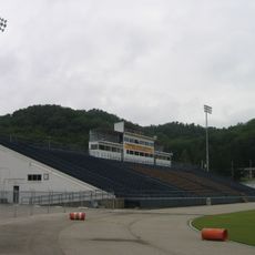
The communities here keep traditions alive through gatherings where people share music and food, celebrating what connects them to one another. These events bring together neighbors who have lived in the region for generations.

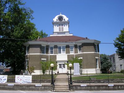
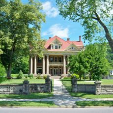
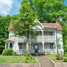
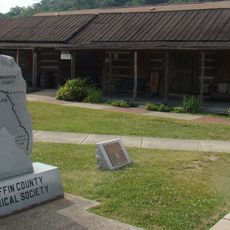
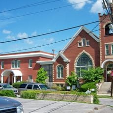
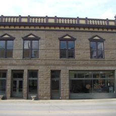
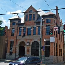
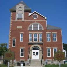
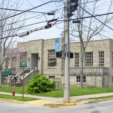
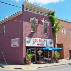
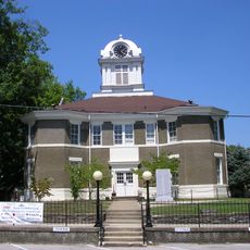
West Liberty serves as the county seat and houses government services and public facilities for residents. The main administrative services are centered in this town.

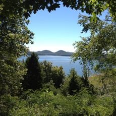
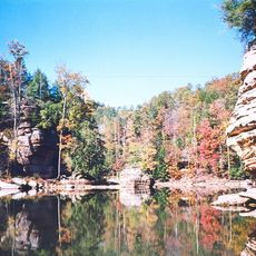
Part of the Daniel Boone National Forest extends into the area, providing protected woodland space. This forest draws people who want to hike and explore the outdoors.

The community of curious travelers

AroundUs brings together thousands of curated places, local tips, and hidden gems, enriched daily by 60,000 contributors worldwide.

Start exploring
Location
Inception
December 7, 1822
Capital city
West Liberty
Shares border with
Elliott County, Lawrence County, Johnson County, Magoffin County, Wolfe County, Menifee County, Rowan County
GPS coordinates
37.92000,-83.26000
Latest update
December 7, 2025 20:44
Around this place
Red River Gorge
United States of America

Red River Gorge

32 km
United States of America

Eastern Kentucky Coal Field region

24.5 km
Cave Run Lake
United States of America

Cave Run Lake

27.1 km
U.S. 23 Country Music Highway Museum
United States of America

U.S. 23 Country Music Highway Museum

38.6 km
Jayne Stadium
United States of America

Jayne Stadium

33.6 km
Paintsville Lake
United States of America

Paintsville Lake

32.8 km
Mayo Mansion
United States of America

Mayo Mansion

41.3 km
Grayson Lake State Park
United States of America

Grayson Lake State Park

39.2 km
Paintsville Lake State Park
United States of America

Paintsville Lake State Park

35.3 km
Mountain Homeplace
United States of America

Mountain Homeplace

35.1 km
Kentucky Folk Art Center
United States of America

Kentucky Folk Art Center

32.8 km
Francis M. Stafford House
United States of America

Francis M. Stafford House

41.6 km
Magoffin County Pioneer Village and Museum
United States of America

Magoffin County Pioneer Village and Museum

25.3 km
Elliott County Kimberlite
United States of America

Elliott County Kimberlite

33.4 km
First United Methodist Church
United States of America

First United Methodist Church

41.4 km
Clifty Wilderness
United States of America

Clifty Wilderness

28.6 km
Johnson County Public Library
United States of America

Johnson County Public Library

41.4 km
Salyersville National Bank
United States of America

Salyersville National Bank

25.1 km
David McKenzie Log Cabin
United States of America

David McKenzie Log Cabin

30.8 km
First National Bank Building
United States of America

First National Bank Building

41.7 km
Rowan County Courthouse
United States of America

Rowan County Courthouse

33.1 km
Paintsville Public Library Building
United States of America

Paintsville Public Library Building

41.5 km
H.B. Rice Insurance Building
United States of America

H.B. Rice Insurance Building

41.5 km
Downtown Morehead Historic District
United States of America

Downtown Morehead Historic District

32.9 km
William L. Hurst Law Office
United States of America

William L. Hurst Law Office

32.6 km
Haldeman Voting House No. 8
United States of America

Haldeman Voting House No. 8

36.4 km
Judge John E. Cooper House
United States of America

Judge John E. Cooper House

436 m
Morgan County Courthouse
United States of America

Morgan County Courthouse

354 m
Show the full map
« Morgan County - Administrative county in eastern Kentucky, United States » is provided by Around Us (aroundus.com). Images and texts are derived from Wikimedia project under a Creative Commons license. You are allowed to copy, distribute, and modify copies of this page, under the conditions set by the license, as long as this note is clearly visible.

Discover hidden gems everywhere you go!

From secret cafés to breathtaking viewpoints, skip the crowded tourist spots and find places that match your style. Our app makes it easy with voice search, smart filtering, route optimization, and insider tips from travelers worldwide. Download now for the complete mobile experience.

Around Us App Screenshot

A unique approach to discovering new places

Le Figaro

All the places worth exploring

France Info

A tailor-made excursion in just a few clicks

20 Minutes

Around Us
Travel Guide & Maps
Download

Send to your phone

QR Code
1

Open the camera app on your mobile.

2

Point at the QR code with your camera. A notification will appear.

3

Tap the notification to open the link.