Enable Location

We need your location to show you interesting places around you

Discover nearby places

Find interesting locations and hidden gems around you

Precise directions

Get accurate directions and distances to places

Your location is never shared with other users. It's only used when you tap the location button.

Columbiana County

Log in to your account

Start exploring — it's free

Trusted by 61,865 travelers worldwide

Continue with Google
Continue with Apple
or

We will send you a code to connect

By continuing, you accept our Terms and Conditions and our Privacy Policy

Check your inbox

We've sent a pincode in your inbox. Please enter the code below.

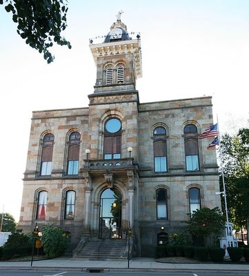
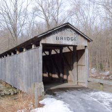
Columbiana County, Administrative division in eastern Ohio, United States

Description

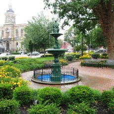
Columbiana County is an administrative division in eastern Ohio, positioned along the border with Pennsylvania and the Ohio River. The region comprises 18 townships with Lisbon serving as the county seat and Salem as the largest city.

History

The county was established in May 1803, taking its name from a combination of Christopher Columbus's surname and the suffix -iana. Its early years saw settlement and the economic growth of communities including East Liverpool.

Culture

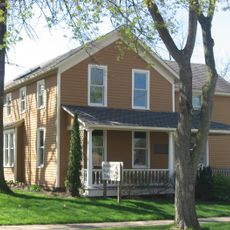
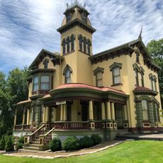
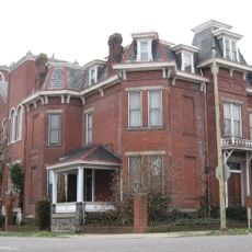
The area reflects the heritage of German settlers, Quakers, and Scotch-Irish immigrants from Pennsylvania, whose influence appears in local traditions and architecture. These diverse communities continue to shape daily life and the region's character.

Practical

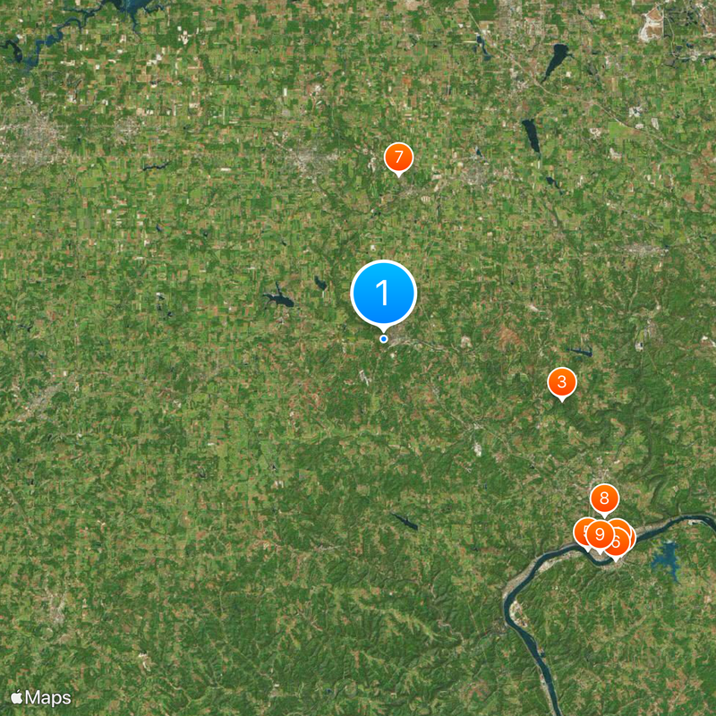
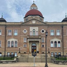
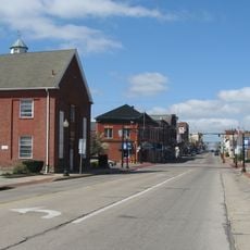
The region is best explored by visiting the main towns of Lisbon and Salem, where administrative centers and local services are concentrated. A car makes it easy to travel through the area and reach various communities.

Did you know?

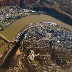
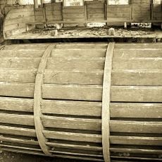
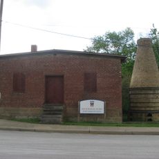
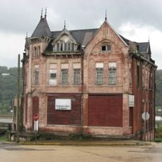
East Liverpool, a city within the county, emerged as the leading pottery production center of the United States during the industrial era. The ceramics industry shaped the economic and social development of this community for generations.

Location
Inception
May 1, 1803
Capital city
Lisbon
Reference
COL
Shares border with
Beaver County, Lawrence County, Jefferson County, Carroll County, Hancock County, Stark County, Mahoning County
GPS coordinates
40.77000,-80.78000
Latest update
December 20, 2025 01:50

AroundUs brings together thousands of curated places, local tips, and hidden gems, enriched daily by 60,000 contributors worldwide. Discover all places nearby (Ohio).

Around this place
Chester teapot
United States of America

Chester teapot

25.4 km
Beaver Creek State Park
United States of America

Beaver Creek State Park

14.9 km
Jennings Randolph Bridge
United States of America

Jennings Randolph Bridge

24.9 km
Newell Toll Bridge
United States of America

Newell Toll Bridge

23.2 km
United States of America

Rock Springs Park

25.3 km
Cherry Valley Coke Ovens
United States of America

Cherry Valley Coke Ovens

13.1 km
Richard L. Cawood Residence
United States of America

Richard L. Cawood Residence

22.4 km
Museum of Ceramics
United States of America

Museum of Ceramics

24 km
Kendal, Ohio
United States of America

Kendal, Ohio

27.8 km
Columbiana County Courthouse
United States of America

Columbiana County Courthouse

1.2 km
Daniel Howell Hise House
United States of America

Daniel Howell Hise House

14.6 km
Teegarden-Centennial Covered Bridge
United States of America

Teegarden-Centennial Covered Bridge

7 km
Carnegie Public Library
United States of America

Carnegie Public Library

24 km
United States of America

Beaver Creek State Forest

23.2 km
Gaston's Mill-Lock No. 36, Sandy and Beaver Canal District
United States of America

Gaston's Mill-Lock No. 36, Sandy and Beaver Canal District

14.9 km
John Street House
United States of America

John Street House

16.3 km
Burchfield Homestead
United States of America

Burchfield Homestead

16.1 km
Cassius Clark Thompson House
United States of America

Cassius Clark Thompson House

24.3 km
East Liverpool Pottery
United States of America

East Liverpool Pottery

24 km
Travelers Hotel
United States of America

Travelers Hotel

23.9 km
Diamond Historic District
United States of America

Diamond Historic District

24.1 km
Ikirt House
United States of America

Ikirt House

23.6 km
Church Hill Road Covered Bridge
United States of America

Church Hill Road Covered Bridge

5 km
First United Methodist Church
United States of America

First United Methodist Church

15.7 km
Salem Downtown Historic District
United States of America

Salem Downtown Historic District

22.4 km
Mary A. Patterson Memorial
United States of America

Mary A. Patterson Memorial

24.1 km
Lisbon Historic District
United States of America

Lisbon Historic District

789 m
Potters National Bank
United States of America

Potters National Bank

24.1 km
Show the full map
Administrative divisions
« Columbiana County - Administrative division in eastern Ohio, United States » is provided by Around Us (aroundus.com). Images and texts are derived from Wikimedia project under a Creative Commons license. You are allowed to copy, distribute, and modify copies of this page, under the conditions set by the license, as long as this note is clearly visible.

Discover hidden gems everywhere you go!

From secret cafés to breathtaking viewpoints, skip the crowded tourist spots and find places that match your style. Our app makes it easy with voice search, smart filtering, route optimization, and insider tips from travelers worldwide. Download now for the complete mobile experience.

Around Us App Screenshot

A unique approach to discovering new places

Le Figaro

All the places worth exploring

France Info

A tailor-made excursion in just a few clicks

20 Minutes

Around Us
Travel Guide & Maps
Download

Send to your phone

QR Code
1

Open the camera app on your mobile.

2

Point at the QR code with your camera. A notification will appear.

3

Tap the notification to open the link.