·

Enable Location

We need your location to show you interesting places around you

Discover nearby places

Find interesting locations and hidden gems around you

Precise directions

Get accurate directions and distances to places

Your location is never shared with other users. It's only used when you tap the location button.

Bledsoe County

Log in to your account

Start exploring — it's free

Trusted by 62,749 travelers worldwide

Continue with Google
Continue with Apple
or

We will send you a code to connect

By continuing, you accept our Terms and Conditions and our Privacy Policy

Check your inbox

We've sent a pincode in your inbox. Please enter the code below.

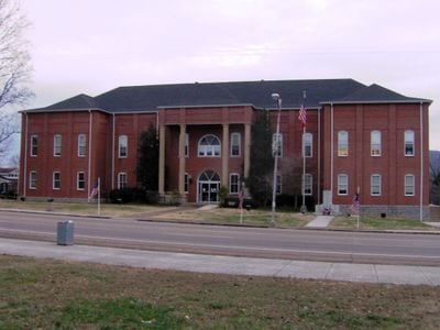
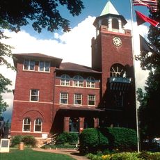
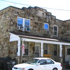
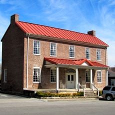
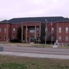
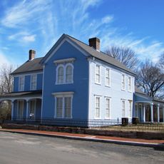
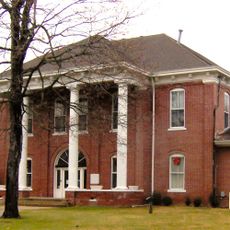
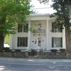
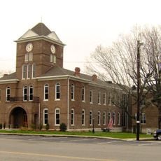
Bledsoe County, County administrative division in Tennessee, United States

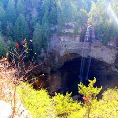
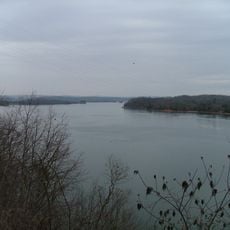
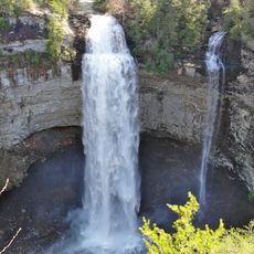
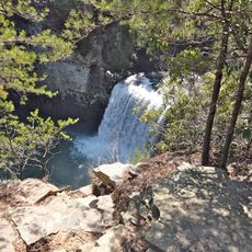
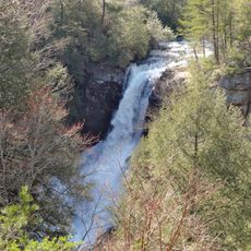
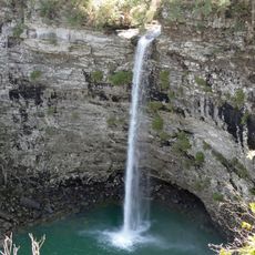
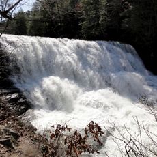
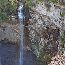
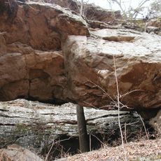
Bledsoe County is an administrative area in eastern Tennessee spanning multiple geographic regions with distinct landscapes. The terrain ranges from valleys to plateaus to ridges, creating varied topography across the county.

The area was established by Tennessee's legislature in 1807 and named for Anthony Bledsoe, a Revolutionary War veteran. This settler moved from Virginia to Tennessee and left an enduring mark on the region's identity.

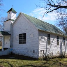
The area maintains a strong Methodist heritage visible in religious institutions scattered throughout the region. This faith-based identity has shaped community life here for generations.

Visitors can explore different parts of the county from the main towns, with roads passing through valleys and across elevated areas. The terrain requires care when navigating, especially in rural sections where routes are less frequent.

During the American Civil War, the area showed divided loyalties, with a majority voting against secession even though some residents formed military units. This internal division reflects the complex history of the region during one of the nation's most turbulent periods.

The community of curious travelers

AroundUs brings together thousands of curated places, local tips, and hidden gems, enriched daily by 60,000 contributors worldwide.

Start exploring
Location
Inception
1807
Capital city
Pikeville
Shares border with
Sequatchie County, Van Buren County, Cumberland County, Rhea County, Hamilton County
GPS coordinates
35.60000,-85.21000
Latest update
December 7, 2025 19:23
Around this place
Fall Creek Falls State Park
United States of America

Fall Creek Falls State Park

14.4 km
Watts Bar Lake
United States of America

Watts Bar Lake

38.8 km
Fall Creek Falls
United States of America

Fall Creek Falls

15.1 km
Cumberland Mountain State Park
United States of America

Cumberland Mountain State Park

38.6 km
Cumberland Homesteads
United States of America

Cumberland Homesteads

39.8 km
Dunlap coke ovens
United States of America

Dunlap coke ovens

30.1 km
Scott's Gulf
United States of America

Scott's Gulf

26.6 km
Rhea County Courthouse
United States of America

Rhea County Courthouse

21.4 km
Cane Creek Falls
United States of America

Cane Creek Falls

14.5 km
United States of America

Laurel-Snow State Natural Area

18.9 km
Burritt College
United States of America

Burritt College

28.1 km
Piney Creek Falls
United States of America

Piney Creek Falls

17.7 km
Rockhouse Falls
United States of America

Rockhouse Falls

14.5 km
Cane Creek Cascades
United States of America

Cane Creek Cascades

14.5 km
Coon Creek Falls
United States of America

Coon Creek Falls

15.1 km
Pikeville Chapel African Methodist Episcopal Zion Church
United States of America

Pikeville Chapel African Methodist Episcopal Zion Church

2.3 km
Bledsoe County Jail
United States of America

Bledsoe County Jail

2 km
Lincoln School
United States of America

Lincoln School

2.2 km
John Bridgman House
United States of America

John Bridgman House

2.4 km
Bledsoe County Courthouse
United States of America

Bledsoe County Courthouse

2 km
Dr. James A. Ross House
United States of America

Dr. James A. Ross House

2.1 km
Sequatchie County Courthouse
United States of America

Sequatchie County Courthouse

30.1 km
Broyles-Darwin House
United States of America

Broyles-Darwin House

21.5 km
Dr. Walter Thomison House
United States of America

Dr. Walter Thomison House

21.4 km
Meigs County Courthouse
United States of America

Meigs County Courthouse

39.2 km
Gooch Creek Arch
United States of America

Gooch Creek Arch

19.2 km
Rhea County Court House Historic landmark
United States of America

Rhea County Court House Historic landmark

21.3 km
Bellview School
United States of America

Bellview School

16.5 km
Show the full map
Administrative divisions
« Bledsoe County - County administrative division in Tennessee, United States » is provided by Around Us (aroundus.com). Images and texts are derived from Wikimedia project under a Creative Commons license. You are allowed to copy, distribute, and modify copies of this page, under the conditions set by the license, as long as this note is clearly visible.

Discover hidden gems everywhere you go!

From secret cafés to breathtaking viewpoints, skip the crowded tourist spots and find places that match your style. Our app makes it easy with voice search, smart filtering, route optimization, and insider tips from travelers worldwide. Download now for the complete mobile experience.

Around Us App Screenshot

A unique approach to discovering new places

Le Figaro

All the places worth exploring

France Info

A tailor-made excursion in just a few clicks

20 Minutes

Around Us
Travel Guide & Maps
Download

Send to your phone

QR Code
1

Open the camera app on your mobile.

2

Point at the QR code with your camera. A notification will appear.

3

Tap the notification to open the link.