Enable Location

We need your location to show you interesting places around you

Discover nearby places

Find interesting locations and hidden gems around you

Precise directions

Get accurate directions and distances to places

Your location is never shared with other users. It's only used when you tap the location button.

Brown County

Log in to your account

Start exploring — it's free

Trusted by 61,993 travelers worldwide

Continue with Google
Continue with Apple
or

We will send you a code to connect

By continuing, you accept our Terms and Conditions and our Privacy Policy

Check your inbox

We've sent a pincode in your inbox. Please enter the code below.

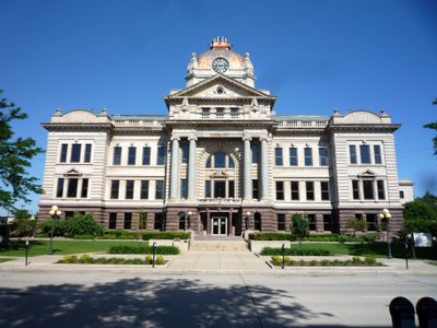
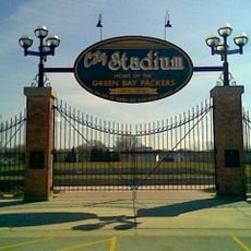
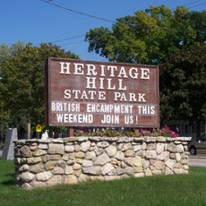
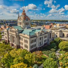
Brown County, County in Wisconsin, US

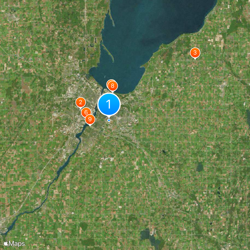
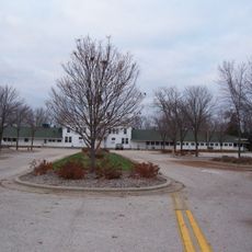
Brown County is an administrative division in northeastern Wisconsin with Green Bay as its county seat. The county encompasses several towns and rural areas connected by major highways and local roads throughout the region.

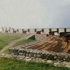
The county was established in 1818 as one of Wisconsin's first administrative divisions. It was named after General Jacob Brown, a military leader from the War of 1812.

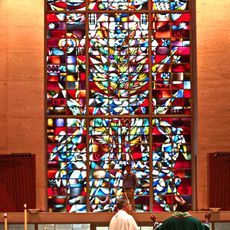
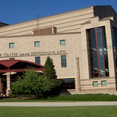
The Neville Public Museum in Green Bay displays exhibitions about regional art, science, and local traditions throughout the year. Visitors can discover how these subjects connect to the life and heritage of the area.

Green Bay Metro provides bus service throughout the area, while Interstate highways 41 and 43 serve as main routes for drivers. Local roads connect the various communities within the county.

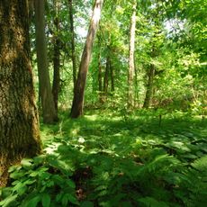
The area is home to one of the state's oldest known trees, a cedar that is approximately 1,300 years old. This rare tree represents the deep natural history of the region.

The community of curious travelers

AroundUs brings together thousands of curated places, local tips, and hidden gems, enriched daily by 60,000 contributors worldwide.

Start exploring
Location
Inception
1818
Capital city
Green Bay
Shares border with
Oconto County, Kewaunee County, Manitowoc County, Calumet County, Outagamie County, Shawano County, Door County
GPS coordinates
44.48000,-87.99000
Latest update
December 19, 2025 22:38
Around this place
Lambeau Field
United States of America

Lambeau Field

6.2 km
Shrine of Our Lady of Good Help
United States of America

Shrine of Our Lady of Good Help

21.1 km
City Stadium
United States of America

City Stadium

3.1 km
Zippin Pippin
United States of America

Zippin Pippin

6 km
National Railroad Museum
United States of America

National Railroad Museum

4.6 km
Hagemeister Park
United States of America

Hagemeister Park

3 km
Bay Beach Amusement Park
United States of America

Bay Beach Amusement Park

5.7 km
Green Bay Correctional Institution
United States of America

Green Bay Correctional Institution

3.9 km
Leo Frigo Memorial Bridge
United States of America

Leo Frigo Memorial Bridge

6.1 km
Brown County Veterans Memorial Arena
United States of America

Brown County Veterans Memorial Arena

5.8 km
Don Hutson Center
United States of America

Don Hutson Center

5.7 km
Fort Howard
United States of America

Fort Howard

4.6 km
Northeastern Wisconsin Zoo
United States of America

Northeastern Wisconsin Zoo

21.6 km
St. Norbert Abbey
United States of America

St. Norbert Abbey

5 km
Heritage Hill State Historical Park
United States of America

Heritage Hill State Historical Park

3.5 km
Cherney Maribel Caves County Park
United States of America

Cherney Maribel Caves County Park

27.5 km
Tank Cottage
United States of America

Tank Cottage

3.7 km
United States of America

Neville Public Museum of Brown County

4.8 km
Kress Events Center
United States of America

Kress Events Center

8.1 km
Brown County Courthouse
United States of America

Brown County Courthouse

4.1 km
Packers Heritage Trail
United States of America

Packers Heritage Trail

4.4 km
Meyer Theatre
United States of America

Meyer Theatre

4.3 km
Green Bay Botanical Garden
United States of America

Green Bay Botanical Garden

10.4 km
St. Willebrord Catholic Church
United States of America

St. Willebrord Catholic Church

4.1 km
Receiver
United States of America

Receiver

4.9 km
Fort La Baye
United States of America

Fort La Baye

19.5 km
Weidner Center for the Performing Art
United States of America

Weidner Center for the Performing Art

8 km
Lost Dauphin Park
United States of America

Lost Dauphin Park

14.8 km
Show the full map
Administrative divisions
« Brown County - County in Wisconsin, US » is provided by Around Us (aroundus.com). Images and texts are derived from Wikimedia project under a Creative Commons license. You are allowed to copy, distribute, and modify copies of this page, under the conditions set by the license, as long as this note is clearly visible.

Discover hidden gems everywhere you go!

From secret cafés to breathtaking viewpoints, skip the crowded tourist spots and find places that match your style. Our app makes it easy with voice search, smart filtering, route optimization, and insider tips from travelers worldwide. Download now for the complete mobile experience.

Around Us App Screenshot

A unique approach to discovering new places

Le Figaro

All the places worth exploring

France Info

A tailor-made excursion in just a few clicks

20 Minutes

Around Us
Travel Guide & Maps
Download

Send to your phone

QR Code
1

Open the camera app on your mobile.

2

Point at the QR code with your camera. A notification will appear.

3

Tap the notification to open the link.