
Douglas County, County administrative division in Wisconsin, United States.
Douglas County spans across 1,480 square miles in northwestern Wisconsin, incorporating 431 lakes and multiple river systems within its boundaries.
The county was formally established on February 9, 1854, from a section of La Pointe County and received its name from Illinois Senator Stephen Douglas.
The population of Douglas County reflects strong European heritage, with German, Norwegian, Swedish, Irish, Finnish, and Polish descendants forming distinct communities.
Transportation infrastructure includes Interstate 535, U.S. Highways 2 and 53, along with rail services from BNSF, Canadian National, and Union Pacific railways.
The county contains two distinct geographical regions: the Lake Superior Lowland in the north and the Northern Highland throughout central and southern areas.
Location: Wisconsin
Inception: February 9, 1854
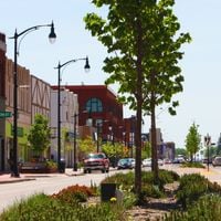
Capital city: Superior
Shares border with: Burnett County, Bayfield County, Sawyer County, Washburn County, Pine County, Carlton County, St. Louis County
Website: http://douglascountywi.org
GPS coordinates: 46.45000,-91.91000
Latest update: May 27, 2025 13:20
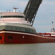
STR Edward L Ryerson
35.3 km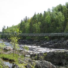
Jay Cooke State Park
39.1 km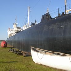
SS Meteor
32.6 km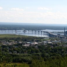
Richard I. Bong Memorial Bridge
36.1 km
Amnicon Falls State Park
18.3 km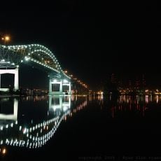
John A. Blatnik Bridge
36.4 km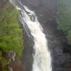
Pattison State Park
18.4 km
Big Manitou Falls
18.8 km
Lake Superior Zoo
37.5 km
Brule River State Forest
26.9 km
Minnesota Point Light
30.3 km
Wisconsin Point Light
29.9 km
Oliver Bridge
32.1 km
Cathedral of Christ the King
33.3 km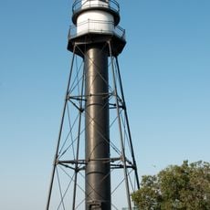
Duluth South Breakwater Inner Light
39.2 km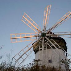
Davidson Windmill
22.2 km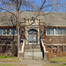
Lincoln Branch Library
39 km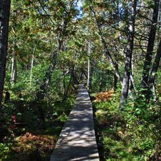
Brule Glacial Spillway State Natural Area
14.9 km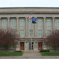
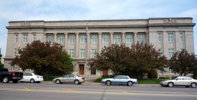
Douglas County Courthouse
33.4 km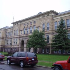
Irving School
37.4 km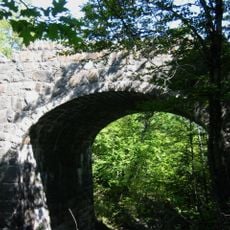
Bridge No. L6007
37.3 km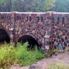
Bridge No. 5757
36.5 km
Empire Block
33.9 km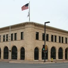
Berkshire Block
34.2 km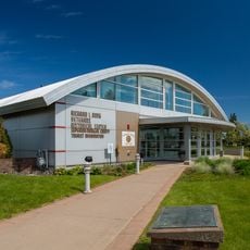
Richard I. Bong Veterans Historical Center
32.7 km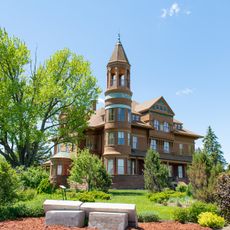
Fairlawn Mansion
32 km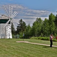
Davidson Windmill and Eskolin Log House
22.2 km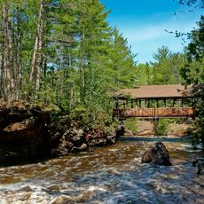
Amnicon Falls Bridge
18 kmReviews
Visited this place? Tap the stars to rate it and share your experience / photos with the community! Try now! You can cancel it anytime.
Discover hidden gems everywhere you go!
From secret cafés to breathtaking viewpoints, skip the crowded tourist spots and find places that match your style. Our app makes it easy with voice search, smart filtering, route optimization, and insider tips from travelers worldwide. Download now for the complete mobile experience.

A unique approach to discovering new places❞
— Le Figaro
All the places worth exploring❞
— France Info
A tailor-made excursion in just a few clicks❞
— 20 Minutes