Enable Location

We need your location to show you interesting places around you

Discover nearby places

Find interesting locations and hidden gems around you

Precise directions

Get accurate directions and distances to places

Your location is never shared with other users. It's only used when you tap the location button.

Buffalo County

Log in to your account

Start exploring — it's free

Trusted by 62,937 travelers worldwide

Continue with Google
Continue with Apple
or

We will send you a code to connect

By continuing, you accept our Terms and Conditions and our Privacy Policy

Check your inbox

We've sent a pincode in your inbox. Please enter the code below.

Discussion Reviews 1 Photos
13.5k Popularity

Buffalo County, County administrative division in west-central Wisconsin, United States.

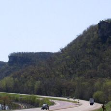
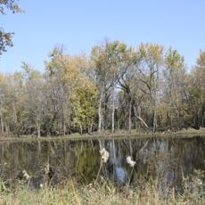
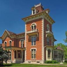
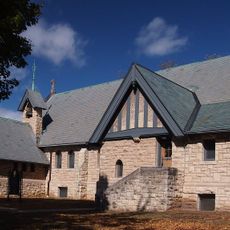
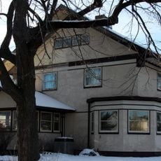
Buffalo County is an administrative division in west-central Wisconsin encompassing rolling terrain, river valleys, and farmland. The territory includes several towns and villages that share the landscape formed by waterways and agricultural land.

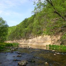
The region took its name from the Buffalo River, documented by French explorer Father Louis Hennepin during his 1680 journey. This early European presence influenced the later settlement and development of the area.

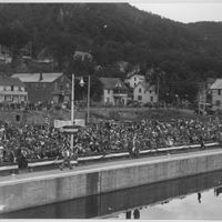
Local farming communities show their heritage through county fairs and harvest celebrations, where people gather to share their connection to rural life and agricultural traditions.

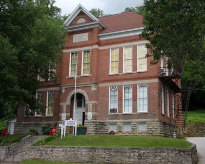
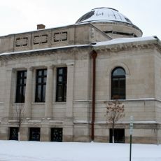
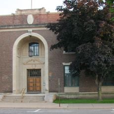
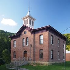
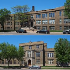
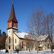
Alma serves as the county seat and provides government services to residents. Multiple school districts are distributed throughout the territory to serve educational needs.

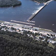
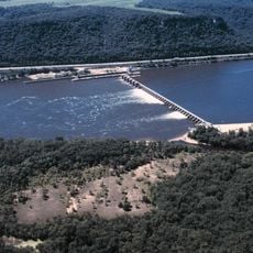
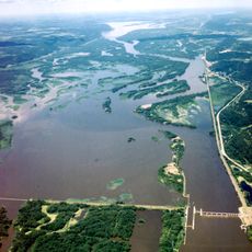
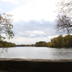
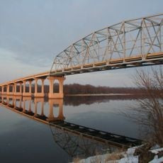
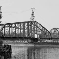
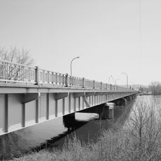
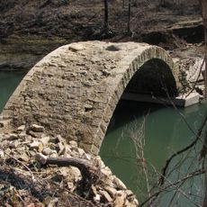
The area encompasses about 38 square miles of water surface where the Buffalo River meets the Mississippi. This waterway confluence creates numerous spots for outdoor activities and fishing.

The community of curious travelers

AroundUs brings together thousands of curated places, local tips, and hidden gems, enriched daily by 60,000 contributors worldwide.

Start exploring
Location
Inception
1853
Capital city
Alma
Shares border with
Pepin County, Eau Claire County, Trempealeau County, Winona County, Wabasha County
GPS coordinates
44.38000,-91.75000
Latest update
December 7, 2025 20:40
Around this place
Whitewater State Park
United States of America

Whitewater State Park

43.5 km
Minnesota Marine Art Museum
United States of America

Minnesota Marine Art Museum

36.5 km
Basilica of Saint Stanislaus Kostka
United States of America

Basilica of Saint Stanislaus Kostka

38.5 km
Lock and Dam No. 4
United States of America

Lock and Dam No. 4

14.8 km
John A. Latsch State Park
United States of America

John A. Latsch State Park

24.9 km
Lock and Dam No. 5
United States of America

Lock and Dam No. 5

24.8 km
Lock and Dam No. 5A
United States of America

Lock and Dam No. 5A

33.4 km
Merrick State Park
United States of America

Merrick State Park

25.1 km
Cathedral of the Sacred Heart
United States of America

Cathedral of the Sacred Heart

38 km
Trempealeau National Wildlife Refuge
United States of America

Trempealeau National Wildlife Refuge

39.5 km
Nicholas Marnach House
United States of America

Nicholas Marnach House

36.7 km
Watkins Manor House
United States of America

Watkins Manor House

38.2 km
Winona Public Library
United States of America

Winona Public Library

37.6 km
Wabasha–Nelson Bridge
United States of America

Wabasha–Nelson Bridge

22.5 km
Winona County Courthouse
United States of America

Winona County Courthouse

37.4 km
Winona Masonic Temple
United States of America

Winona Masonic Temple

37.7 km
Huff–Lamberton House
United States of America

Huff–Lamberton House

37.4 km
Winona Savings Bank Building
United States of America

Winona Savings Bank Building

37.7 km
Grace Memorial Episcopal Church
United States of America

Grace Memorial Episcopal Church

22.4 km
Winona Rail Bridge
United States of America

Winona Rail Bridge

38.9 km
North Channel Bridge
United States of America

North Channel Bridge

36.5 km
Laird, Norton Company Building
United States of America

Laird, Norton Company Building

37.7 km
Reads Landing School
United States of America

Reads Landing School

26.3 km
Old Winona Middle School
United States of America

Old Winona Middle School

37.6 km
Winona and St. Peter Engine House
United States of America

Winona and St. Peter Engine House

36.5 km
Dr. J. W. S. Gallagher House
United States of America

Dr. J. W. S. Gallagher House

37.4 km
Church of the Holy Trinity-Catholic
United States of America

Church of the Holy Trinity-Catholic

31.9 km
Bridge No. L1409
United States of America

Bridge No. L1409

36.1 km
Show the full map
Reviews
Share your experience

No review yet

Discussions
Start a discussion...

No discussion yet

Administrative divisions
« Buffalo County - County administrative division in west-central Wisconsin, United States » is provided by Around Us (aroundus.com). Images and texts are derived from Wikimedia project under a Creative Commons license. You are allowed to copy, distribute, and modify copies of this page, under the conditions set by the license, as long as this note is clearly visible.

Discover hidden gems everywhere you go!

From secret cafés to breathtaking viewpoints, skip the crowded tourist spots and find places that match your style. Our app makes it easy with voice search, smart filtering, route optimization, and insider tips from travelers worldwide. Download now for the complete mobile experience.

Around Us App Screenshot

A unique approach to discovering new places

Le Figaro

All the places worth exploring

France Info

A tailor-made excursion in just a few clicks

20 Minutes

Around Us
Travel Guide & Maps
Download

Send to your phone

QR Code
1

Open the camera app on your mobile.

2

Point at the QR code with your camera. A notification will appear.

3

Tap the notification to open the link.