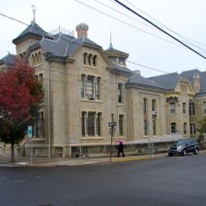
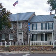
Montour County, Administrative county in Pennsylvania, US
Description
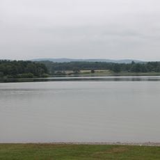
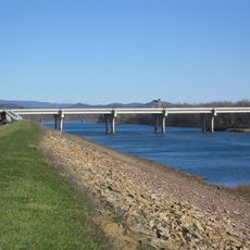
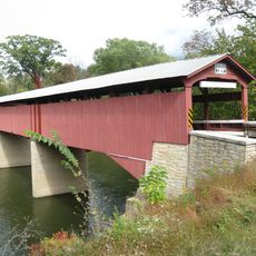
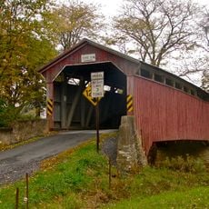
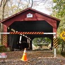
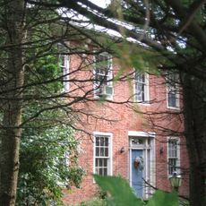
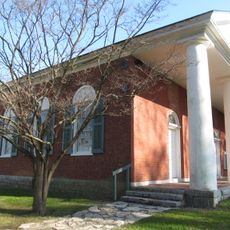
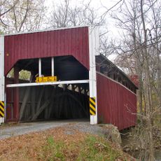
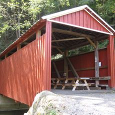
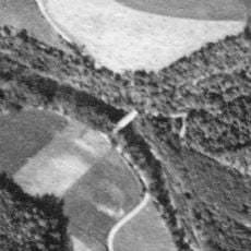
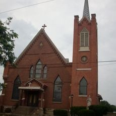
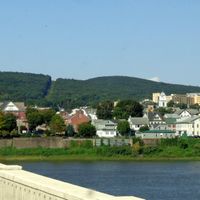
Montour County is an administrative division in central Pennsylvania located within the Appalachian Ridge-and-Valley region and contains roughly 45 percent forested land. The area sits within the Susquehanna River watershed and includes numerous small towns and rural communities.
History
The county was established in 1850 and named after Andrew Montour, an interpreter who worked with George Washington during the French and Indian War. This founding reflected the expanding settlement and administrative organization of the region in the 1800s.
Culture
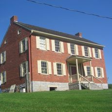
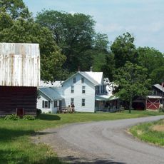
The area has deep roots in farming, with many operations raising cattle, hogs, and dairy cows as families have done for generations. This agricultural tradition shapes how people live and think about the land today.
Practical
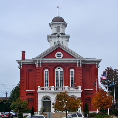
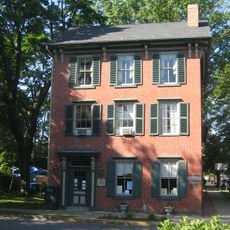
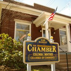
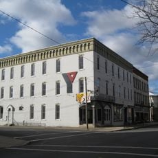
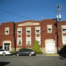
The administrative center in Danville provides services from Monday through Friday where visitors can obtain information and handle documentation. Weekday visits during regular business hours are best if you need to conduct county business.
Did you know?
The area is the smallest county by land size in Pennsylvania, despite its significant role in regional history. Its highest point, Montour Ridge, offers views over the rolling forested landscape.
AroundUs brings together thousands of curated places, local tips, and hidden gems, enriched daily by 60,000 contributors worldwide. Discover all places nearby (Pennsylvania).
Joseph Priestley House
19 km
Basilica of Saints Cyril and Methodius
8.9 km
Lake Chillisquaque
8.3 km
Carl E. Stotz Memorial Little League Bridge
13.5 km
Rupert Covered Bridge No. 56
16.6 km
State Game Lands Number 226
12.5 km
Sodom Schoolhouse
15.8 km
Jakey Hollow Natural Area
14.9 km
Priestley-Forsyth Memorial Library
19.3 km
Bloomsburg Historic District
17.6 km
Gottlieb Brown Covered Bridge
10.1 km
Rishel Covered Bridge
15.2 km
Thomas Beaver Free Library and Danville YMCA
9 km
General William Montgomery House
8.2 km
Danville Historic District
8.4 km
Northumberland Historic District
19.2 km
William Kirk House
14.9 km
Warrior Run Presbyterian Church
14.5 km
Wanich Covered Bridge No. 69
14.9 km
Danville West Market Street Historic District
8 km
Keefer Covered Bridge No. 7
2.7 km
Milton Historic District
16 km
Hower-Slote House
13.9 km
Shoemaker Covered Bridge
17 km
Milton Armory
16 km
Riegel Covered Bridge No. 6
18 km
Houseknecht Farm
16.5 km
St. Josephs Roman Catholic Church, Milton, PA
16.1 kmDiscover hidden gems everywhere you go!
From secret cafés to breathtaking viewpoints, skip the crowded tourist spots and find places that match your style. Our app makes it easy with voice search, smart filtering, route optimization, and insider tips from travelers worldwide. Download now for the complete mobile experience.
A unique approach to discovering new places❞
— Le Figaro
All the places worth exploring❞
— France Info
A tailor-made excursion in just a few clicks❞
— 20 Minutes