Sarpy County

Log in to your account

AroundUs is a community-driven map of interesting places, built by curious explorers like you. It grows with every review, story, and photo you share.
Connect to save your favorite spots, contribute locations, and create personalized routes.
Continue with Google
Continue with Apple
Continue with X
Continue with Facebook
Continue with email
By continuing, you accept our Terms and Conditions and our Privacy Policy
Create an account
Add to collection
Map
Suggest a change
Share

Sarpy County, Administrative county in eastern Nebraska, US

Sarpy County is an administrative county in eastern Nebraska that stretches along the Missouri River and covers approximately 248 square miles. Papillion serves as the county's administrative center and hub of local government.

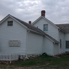
The county was established in 1857 and named after Colonel Peter Sarpy, an influential fur trader who operated along the Missouri River during the 1800s. Sarpy played a key role in the region's early economic development through trade operations.

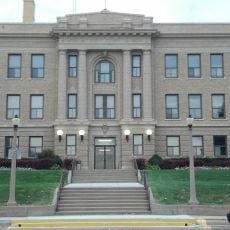
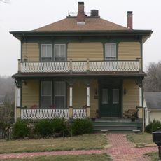
The area is shaped by its two major school districts, Bellevue and Papillion La Vista Community School Districts, which together operate dozens of schools and anchor family life throughout the county. These institutions form the backbone of community activity and local identity.

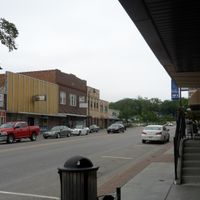
Interstate 80 and U.S. Highway 6 are the main transportation routes through the area, providing quick access to employment and shopping centers throughout the region. The highway network makes it easy to connect with nearby communities and work centers.

The area is home to the Strategic Air Command Museum, which displays military aircraft and preserves the history of United States strategic air operations. This museum attracts visitors interested in aviation history and military heritage.

Location: Nebraska

Inception: 1857

Capital city: Papillion

Shares border with: Douglas County, Cass County, Saunders County, Pottawattamie County, Mills County

Website: https://sarpy.com

GPS coordinates: 41.11000,-96.11000

Latest update: December 20, 2025 13:51

Photos
Around this place
Strategic Air and Space Museum
United States of America

Strategic Air and Space Museum

20.4 km
Eugene T. Mahoney State Park
United States of America

Eugene T. Mahoney State Park

19.5 km
Linoma Beach
United States of America

Linoma Beach

18.3 km
Fontenelle Forest
United States of America

Fontenelle Forest

17.9 km
Holy Family Shrine
United States of America

Holy Family Shrine

14.6 km
United States of America

Lee G. Simmons Conservation Park and Wildlife Safari

19.1 km
United States of America

Chalco Hills Recreation Area

7.7 km
United States of America

Schramm Park State Recreation Area

15.3 km
Plattsmouth Bridge
United States of America

Plattsmouth Bridge

23.8 km
Vala's Pumpkin Patch
United States of America

Vala's Pumpkin Patch

7.9 km
Bellevue Bridge
United States of America

Bellevue Bridge

19.6 km
United States of America

Moses Merrill Mission

10.4 km
Log Cabin
United States of America

Log Cabin

18.6 km
United States of America

Prairie Queen Recreation Area

6.1 km
Presbyterian Church
United States of America

Presbyterian Church

18.4 km
Bellevue Berry Farm and Pumpkin Ranch
United States of America

Bellevue Berry Farm and Pumpkin Ranch

11 km
United States of America

Sarpy County Museum

17.3 km
Velosco V. Leonard House
United States of America

Velosco V. Leonard House

21.6 km
John Sautter Farmhouse
United States of America

John Sautter Farmhouse

7.8 km
Third Sarpy County Courthouse
United States of America

Third Sarpy County Courthouse

7.9 km
Cass County Courthouse
United States of America

Cass County Courthouse

21.9 km
Plattsmouth Main Street Historic District
United States of America

Plattsmouth Main Street Historic District

21.9 km
George E. Dovey House
United States of America

George E. Dovey House

21.7 km
Fontenelle Bank
United States of America

Fontenelle Bank

18.6 km
Capt. John O'Rourke House
United States of America

Capt. John O'Rourke House

21.5 km
William Hamilton House
United States of America

William Hamilton House

18.9 km
William E. Gordon House
United States of America

William E. Gordon House

18.3 km
Plattsmouth Railroad Bridge
United States of America

Plattsmouth Railroad Bridge

23.7 km
Show the full map
Reviews

Visited this place? Tap the stars to rate it and share your experience / photos with the community! Try now! You can cancel it anytime.

Administrative divisions
« Sarpy County - Administrative county in eastern Nebraska, US » is provided by Around Us (aroundus.com). Images and texts are derived from Wikimedia project under a Creative Commons license. You are allowed to copy, distribute, and modify copies of this page, under the conditions set by the license, as long as this note is clearly visible.

Discover hidden gems everywhere you go!

From secret cafés to breathtaking viewpoints, skip the crowded tourist spots and find places that match your style. Our app makes it easy with voice search, smart filtering, route optimization, and insider tips from travelers worldwide. Download now for the complete mobile experience.

Around Us App Screenshot

A unique approach to discovering new places

Le Figaro

All the places worth exploring

France Info

A tailor-made excursion in just a few clicks

20 Minutes