Enable Location

We need your location to show you interesting places around you

Discover nearby places

Find interesting locations and hidden gems around you

Precise directions

Get accurate directions and distances to places

Your location is never shared with other users. It's only used when you tap the location button.

Cameron County

Log in to your account

Start exploring — it's free

Trusted by 61,743 travelers worldwide

Continue with Google
Continue with Apple
or

We will send you a code to connect

By continuing, you accept our Terms and Conditions and our Privacy Policy

Check your inbox

We've sent a pincode in your inbox. Please enter the code below.

Cameron County, Administrative county in north-central Pennsylvania, US

Description

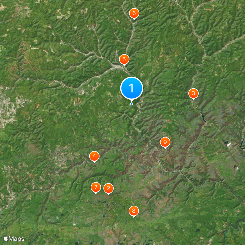
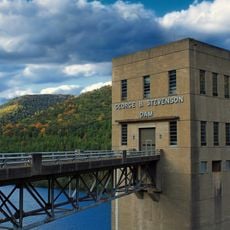
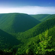
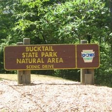
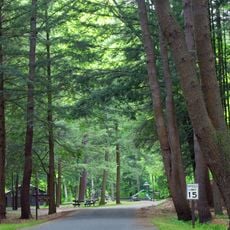
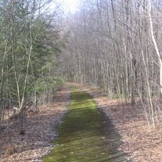
Cameron County is an administrative county in north-central Pennsylvania situated on the Allegheny Plateau, covering about 398 square miles. The landscape is dominated by dense forests with several waterways running through it, including Sinnemahoning Creek.

History

The county was established in 1860 and named after Simon Cameron, a prominent Pennsylvania politician. Cameron later served as Secretary of War under President Abraham Lincoln, leaving his mark on national political history.

Culture

The Cameron County Historical Society in Emporium displays objects and documents that tell the story of local communities. The exhibitions show how people have built their lives in this region over generations.

Practical

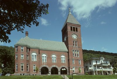
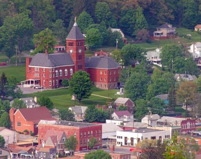
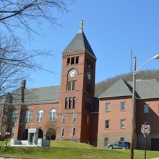
Visitors can reach the county administrative offices in Emporium at the courthouse, which is open on weekdays during business hours. Plan your visit for morning or early afternoon to avoid longer wait times at the offices.

Did you know?

The area is marked by extreme remoteness—it has the lowest population of any county in Pennsylvania and is not served by interstate highways or major US routes. This isolation has allowed the landscape and rural character to remain largely unchanged.

Location
Inception
March 29, 1860
Capital city
Emporium
Shares border with
McKean County, Potter County, Clinton County, Clearfield County, Elk County
GPS coordinates
41.44000,-78.20000
Latest update
December 20, 2025 12:53

AroundUs brings together thousands of curated places, local tips, and hidden gems, enriched daily by 60,000 contributors worldwide. Discover all places nearby (Pennsylvania).

Around this place
Quehanna Wild Area
United States of America

Quehanna Wild Area

19.1 km
Sinnemahoning State Park
United States of America

Sinnemahoning State Park

12.6 km
Elk State Forest
United States of America

Elk State Forest

14.1 km
Bucktail State Park Natural Area
United States of America

Bucktail State Park Natural Area

8 km
Sizerville State Park
United States of America

Sizerville State Park

17.3 km
Marion Brooks Natural Area
United States of America

Marion Brooks Natural Area

19.6 km
Wykoff Run Natural Area
United States of America

Wykoff Run Natural Area

23.1 km
United States of America

Johnson Run Natural Area

11.3 km
United States of America

Bucktail Path

9.6 km
United States of America

State Game Lands Number 34

24.8 km
United States of America

State Game Lands Number 14

12.3 km
Cameron County Courthouse
United States of America

Cameron County Courthouse

8.7 km
United States of America

Duck Marshes

25.3 km
United States of America

George B Stevenson Reservoir

14.8 km
United States of America

Emporium Country Club

1.4 km
United States of America

Sinnemahoning S.P. Wildlife Viewing Area

13.6 km
United States of America

Scenic viewpoint

19.8 km
United States of America

Scenic viewpoint

30.1 km
United States of America

Gore Vista

19.1 km
United States of America

Scenic viewpoint

19.3 km
United States of America

Scenic viewpoint

19.8 km
United States of America

Scenic viewpoint

17 km
United States of America

Scenic viewpoint

20.8 km
United States of America

Three Runs Vista

25.4 km
United States of America

Scenic viewpoint

24.7 km
United States of America

Scenic viewpoint

29.3 km
United States of America

Scenic viewpoint

19.2 km
United States of America

Scenic viewpoint

19.5 km
Show the full map
« Cameron County - Administrative county in north-central Pennsylvania, US » is provided by Around Us (aroundus.com). Images and texts are derived from Wikimedia project under a Creative Commons license. You are allowed to copy, distribute, and modify copies of this page, under the conditions set by the license, as long as this note is clearly visible.

Discover hidden gems everywhere you go!

From secret cafés to breathtaking viewpoints, skip the crowded tourist spots and find places that match your style. Our app makes it easy with voice search, smart filtering, route optimization, and insider tips from travelers worldwide. Download now for the complete mobile experience.

Around Us App Screenshot

A unique approach to discovering new places

Le Figaro

All the places worth exploring

France Info

A tailor-made excursion in just a few clicks

20 Minutes

Around Us
Travel Guide & Maps
Download

Send to your phone

QR Code
1

Open the camera app on your mobile.

2

Point at the QR code with your camera. A notification will appear.

3

Tap the notification to open the link.