Forest County

Log in to your account

AroundUs is a community-driven map of interesting places, built by curious explorers like you. It grows with every review, story, and photo you share.
Connect to save your favorite spots, contribute locations, and create personalized routes.
Continue with Google
Continue with Apple
Continue with X
Continue with Facebook
Continue with email
By continuing, you accept our Terms and Conditions and our Privacy Policy
Create an account
Add to collection
Map
Suggest a change
Share

Forest County, Administrative county in Pennsylvania, United States

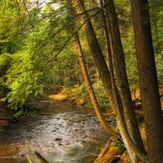
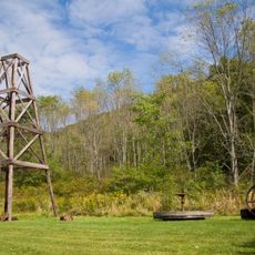
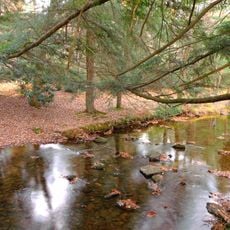
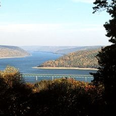
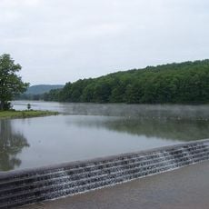
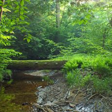
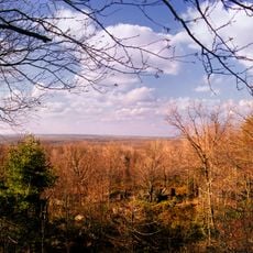
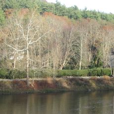
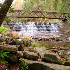
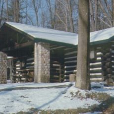
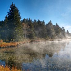
Forest County is an administrative county in northern Pennsylvania characterized by dense forests and natural landscapes. The area encompasses portions of the Allegheny National Forest and several state parks that shape much of the terrain.

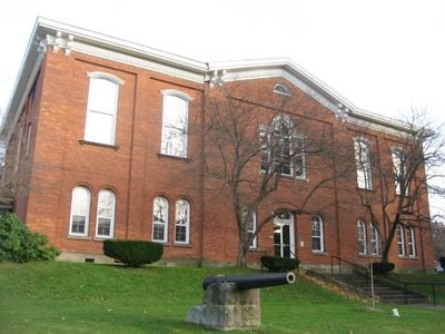
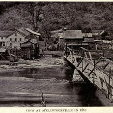
Forest County was created by the Pennsylvania Legislature in 1848 as a section separated from Jefferson County and formally organized in 1857. The establishment was part of broader administrative reorganizations designed to better manage the state's expanding populated areas.

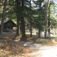
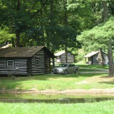
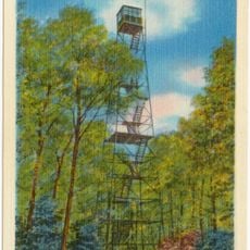
The county maintains strong connections to outdoor recreation traditions through its state parks, wilderness areas, and the Allegheny National Forest.

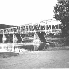
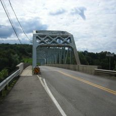
The area is crisscrossed by rural roads that provide access to the various forest areas and parks, with most locations easily reachable by car. Visitors should keep in mind that many parts are sparsely populated and bringing navigation tools or maps is important.

With a population of around 7000 people, this county ranks among the least densely populated in Pennsylvania, reinforcing its character as a predominantly forested and rural area. The low population density has allowed the region to maintain much of its natural environment relatively unchanged.

Location: Pennsylvania

Inception: September 1, 1857

Capital city: Tionesta

Shares border with: Warren County, McKean County, Elk County, Clarion County, Venango County, Jefferson County

Website: http://co.forest.pa.us

GPS coordinates: 41.52000,-79.24000

Latest update: December 14, 2025 20:01

Photos
Around this place
Cook Forest State Park
United States of America

Cook Forest State Park

22.8 km
Oil Creek State Park
United States of America

Oil Creek State Park

34.2 km
Clear Creek State Park
United States of America

Clear Creek State Park

24.8 km
Gomez Mill House
United States of America

Gomez Mill House

22.8 km
Allegheny National Recreation Area
United States of America

Allegheny National Recreation Area

23.4 km
Chapman State Park
United States of America

Chapman State Park

26.4 km
Hearts Content Scenic Area
United States of America

Hearts Content Scenic Area

19.2 km
Tionesta Scenic and Research Natural Areas
United States of America

Tionesta Scenic and Research Natural Areas

28.7 km
Clear Creek State Forest
United States of America

Clear Creek State Forest

27 km
United States of America

Tanbark Trail

17.4 km
United States of America

Hickory Creek Wilderness

17.7 km
Chapman Lake
United States of America

Chapman Lake

26.6 km
McClintocksville, Pennsylvania
United States of America

McClintocksville, Pennsylvania

30.5 km
Sutton-Ditz House
United States of America

Sutton-Ditz House

36.2 km
Pithole Stone Arch Bridge
United States of America

Pithole Stone Arch Bridge

29.8 km
Clarion County Courthouse and Jail
United States of America

Clarion County Courthouse and Jail

36 km
West Hickory Bridge
United States of America

West Hickory Bridge

14.9 km
Allegheny Baptist Church
United States of America

Allegheny Baptist Church

29.7 km
Tidioute Bridge
United States of America

Tidioute Bridge

22.9 km
Connely-Holeman House
United States of America

Connely-Holeman House

30.9 km
Anthony Wayne Cook Mansion
United States of America

Anthony Wayne Cook Mansion

21.2 km
Gray-Taylor House
United States of America

Gray-Taylor House

41.8 km
Cook Forest State Park River Cabin District
United States of America

Cook Forest State Park River Cabin District

22 km
Cook Forest State Park Indian Cabin District
United States of America

Cook Forest State Park Indian Cabin District

20.8 km
Clear Creek State Park Day Use District
United States of America

Clear Creek State Park Day Use District

25.7 km
Clear Creek State Park Family Cabin District
United States of America

Clear Creek State Park Family Cabin District

23.7 km
Beaver Meadows Lake
United States of America

Beaver Meadows Lake

11.1 km
Cook Forest Tower
United States of America

Cook Forest Tower

22.3 km
Show the full map
Reviews

Visited this place? Tap the stars to rate it and share your experience / photos with the community! Try now! You can cancel it anytime.

« Forest County - Administrative county in Pennsylvania, United States » is provided by Around Us (aroundus.com). Images and texts are derived from Wikimedia project under a Creative Commons license. You are allowed to copy, distribute, and modify copies of this page, under the conditions set by the license, as long as this note is clearly visible.

Discover hidden gems everywhere you go!

From secret cafés to breathtaking viewpoints, skip the crowded tourist spots and find places that match your style. Our app makes it easy with voice search, smart filtering, route optimization, and insider tips from travelers worldwide. Download now for the complete mobile experience.

Around Us App Screenshot

A unique approach to discovering new places

Le Figaro

All the places worth exploring

France Info

A tailor-made excursion in just a few clicks

20 Minutes