Nelson County

Log in to your account

AroundUs is a community-driven map of interesting places, built by curious explorers like you. It grows with every review, story, and photo you share.
Connect to save your favorite spots, contribute locations, and create personalized routes.
Continue with Google
Continue with Apple
Continue with X
Continue with Facebook
Continue with email
By continuing, you accept our Terms and Conditions and our Privacy Policy
Create an account
Add to collection
Map
Suggest a change
Share

Nelson County, Administrative division in Kentucky, United States.

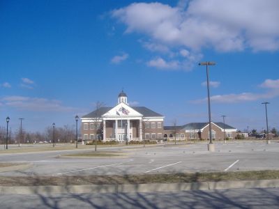
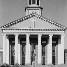
Nelson County is an administrative division in Kentucky encompassing several towns and communities across a substantial area. The region consists of rural land, farmland, and urban centers, with Bardstown serving as the county seat.

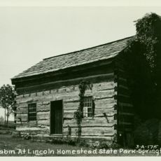
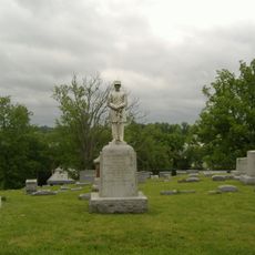
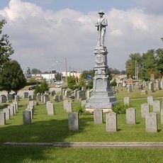
The area was established in 1784 when it separated from an adjacent county and received its name from one of the nation's founding figures. Early settlement and the founding of Bardstown a few years before anchored this region in American colonial history.

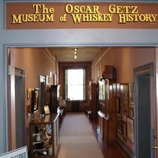
Distilleries shape the landscape and local economy, with visitors able to tour facilities and learn how bourbon is made. The region stands out for its spirits production, drawing people interested in this craft tradition.

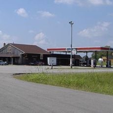
Visitors should explore the area by car since public transportation is limited and attractions are spread across multiple communities. Travel is easiest during warmer months when road conditions and access to sites are optimal.

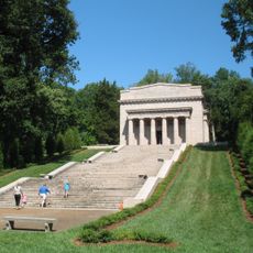
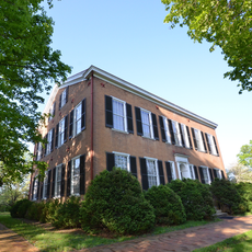
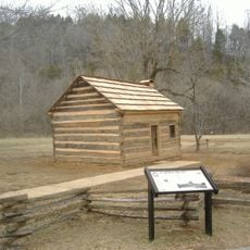
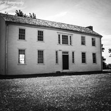
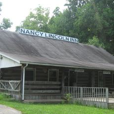
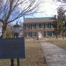
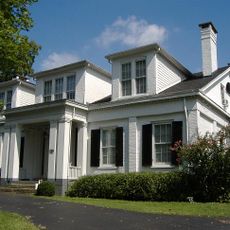
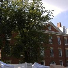
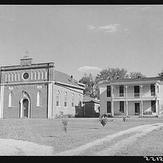
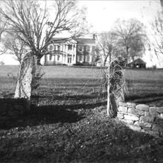
Bardstown was founded in 1780 and ranks among Kentucky's oldest cities, with preserved buildings from the 1700s that visitors can still explore today. These historic structures offer a rare window into early America and stand apart from more modern areas of the region.

Location: Kentucky

Inception: October 18, 1784

Capital city: Bardstown

Shares border with: Spencer County, Anderson County, Washington County, Marion County, LaRue County, Hardin County, Bullitt County

Website: http://nelsoncountyky.com

GPS coordinates: 37.80000,-85.47000

Latest update: December 7, 2025 19:22

Photos
Around this place
Abraham Lincoln Birthplace National Historical Park
United States of America

Abraham Lincoln Birthplace National Historical Park

38.1 km
The Abbey of Our Lady of Gethsemani
United States of America

The Abbey of Our Lady of Gethsemani

16 km
My Old Kentucky Home State Park
United States of America

My Old Kentucky Home State Park

1.6 km
Bernheim Forest and  Arboretum
United States of America

Bernheim Forest and Arboretum

28.2 km
Knob Creek Farm
United States of America

Knob Creek Farm

25.7 km
Basilica of St. Joseph Proto-Cathedral
United States of America

Basilica of St. Joseph Proto-Cathedral

1.2 km
Louisville and Nashville Railroad 152
United States of America

Louisville and Nashville Railroad 152

19.2 km
Mordecai Lincoln House
United States of America

Mordecai Lincoln House

23.6 km
Statue of Abraham Lincoln
United States of America

Statue of Abraham Lincoln

34.7 km
Lincoln Homestead State Park
United States of America

Lincoln Homestead State Park

23.6 km
Civil War Museum
United States of America

Civil War Museum

1.4 km
Rooster Run
United States of America

Rooster Run

11.9 km
Nancy Lincoln Inn
United States of America

Nancy Lincoln Inn

38.2 km
Wickland
United States of America

Wickland

2 km
Bardstown Historic District
United States of America

Bardstown Historic District

1.3 km
Louisville and Nashville Combine Car Number 665
United States of America

Louisville and Nashville Combine Car Number 665

19.2 km
Ben Johnson House
United States of America

Ben Johnson House

3.3 km
United States of America

Knobs State Forest

20.3 km
Oscar Getz Museum of Whiskey History
United States of America

Oscar Getz Museum of Whiskey History

1.3 km
Cobblestone Path
United States of America

Cobblestone Path

1.3 km
Mount Zion Covered Bridge
United States of America

Mount Zion Covered Bridge

19 km
Bardstown Historical Museum
United States of America

Bardstown Historical Museum

1.3 km
St. Thomas Roman Catholic Church and Howard-Flaget House
United States of America

St. Thomas Roman Catholic Church and Howard-Flaget House

3.9 km
United States of America

Lebanon National Cemetery

32.7 km
Captain Andrew Offutt Monument
United States of America

Captain Andrew Offutt Monument

32.3 km
Confederate Monument of Bardstown
United States of America

Confederate Monument of Bardstown

2.7 km
Newell B. McClaskey House
United States of America

Newell B. McClaskey House

22.3 km
Fort DeWolf
United States of America

Fort DeWolf

29.8 km
Show the full map
Reviews

Visited this place? Tap the stars to rate it and share your experience / photos with the community! Try now! You can cancel it anytime.

« Nelson County - Administrative division in Kentucky, United States » is provided by Around Us (aroundus.com). Images and texts are derived from Wikimedia project under a Creative Commons license. You are allowed to copy, distribute, and modify copies of this page, under the conditions set by the license, as long as this note is clearly visible.

Discover hidden gems everywhere you go!

From secret cafés to breathtaking viewpoints, skip the crowded tourist spots and find places that match your style. Our app makes it easy with voice search, smart filtering, route optimization, and insider tips from travelers worldwide. Download now for the complete mobile experience.

Around Us App Screenshot

A unique approach to discovering new places

Le Figaro

All the places worth exploring

France Info

A tailor-made excursion in just a few clicks

20 Minutes