Enable Location

We need your location to show you interesting places around you

Discover nearby places

Find interesting locations and hidden gems around you

Precise directions

Get accurate directions and distances to places

Your location is never shared with other users. It's only used when you tap the location button.

Upper Mount Bethel Township

Log in to your account

Join the adventure

Create your free account and start exploring (like 60k+ others)

We will send you a code to connect

or
Continue with Google
Continue with Apple
By continuing, you accept our Terms and Conditions and our Privacy Policy

Check your inbox

We've sent a pincode in your inbox. Please enter the code below.

Upper Mount Bethel Township

Upper Mount Bethel Township, Township administrative division in Northampton County, United States.

Description

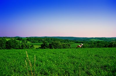
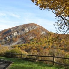
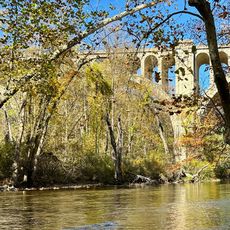
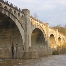
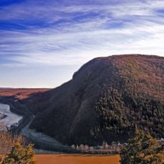
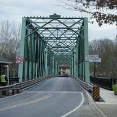
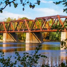
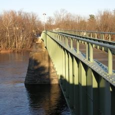
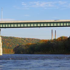
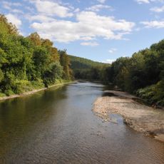
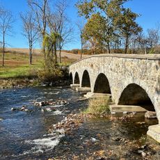
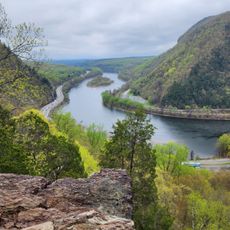
Upper Mount Bethel Township is a township administrative division in Northampton County, Pennsylvania, covering a substantial area of land. The Delaware River runs along its eastern edge, while Blue Mountain rises along its northwestern border, both forming natural boundaries for this rural region.

History

Settlement of this region began around 1730 when Ulster Scots arrived and established communities throughout the area. The territory became officially part of Northampton County in 1752, following the Walking Purchase of 1737 which expanded the colonial land claims.

Culture

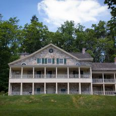
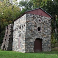
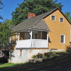
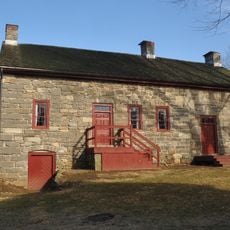
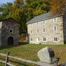
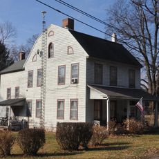
The scattered settlements across this territory, such as Centerville and Mount Bethel, each maintain their own local character and way of life. These communities reflect the diversity of rural Pennsylvania, where different neighborhoods have developed their own identities over time.

Practical

Municipal governance activities take place at a central Municipal Building, where the Board of Supervisors meets and sessions are available to watch online. Visitors interested in community affairs can observe how local government operates without needing to visit in person.

Did you know?

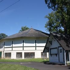
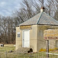
Local emergency services, particularly the North Bangor Fire House, provide protection and public safety for the communities spread across this township. These volunteer-based operations reflect how rural areas organize to keep residents safe and connected.

GPS coordinates
40.86667,-75.13306
Latest update
December 12, 2025 07:58

AroundUs brings together thousands of curated places, local tips, and hidden gems, enriched daily by 60,000 contributors worldwide. Discover all places nearby (Northampton County).

Around this place
Mount Tammany
United States of America

Mount Tammany

11.6 km
Paulinskill Viaduct
United States of America

Paulinskill Viaduct

10.9 km
Delaware Water Gap Toll Bridge
United States of America

Delaware Water Gap Toll Bridge

12.3 km
Delaware River Viaduct
United States of America

Delaware River Viaduct

8.2 km
Sherman Theater
United States of America

Sherman Theater

14.2 km
Mount Minsi
United States of America

Mount Minsi

10.4 km
Shippen Manor
United States of America

Shippen Manor

13.3 km
Weona Park Carousel
United States of America

Weona Park Carousel

9.7 km
Riverton–Belvidere Bridge
United States of America

Riverton–Belvidere Bridge

5.9 km
Darlington's Bridge at Delaware Station
United States of America

Darlington's Bridge at Delaware Station

6.1 km
Portland–Columbia Pedestrian Bridge
United States of America

Portland–Columbia Pedestrian Bridge

7.1 km
Portland–Columbia Toll Bridge
United States of America

Portland–Columbia Toll Bridge

7 km
Oxford Furnace
United States of America

Oxford Furnace

13.4 km
Columcille Megalith Park
United States of America

Columcille Megalith Park

8.9 km
Quiet Valley Farm
United States of America

Quiet Valley Farm

14.1 km
Shawnee-Minisink Site
United States of America

Shawnee-Minisink Site

13.8 km
Real Estate Building
United States of America

Real Estate Building

6.1 km
Warren County Courthouse
United States of America

Warren County Courthouse

6.5 km
Belvidere Historic District
United States of America

Belvidere Historic District

6.3 km
Bridge in Bangor Borough
United States of America

Bridge in Bangor Borough

6.3 km
Van Nest–Hoff–Vannatta Farmstead
United States of America

Van Nest–Hoff–Vannatta Farmstead

11.5 km
Warrington Stone Bridge
United States of America

Warrington Stone Bridge

8.9 km
County Bridge No. 36
United States of America

County Bridge No. 36

6.8 km
Oxford Industrial Historic District
United States of America

Oxford Industrial Historic District

13.9 km
Fairview Schoolhouse
United States of America

Fairview Schoolhouse

11.7 km
Mount Tammany Lookout
United States of America

Mount Tammany Lookout

11.4 km
Kitson Woolen Mill
United States of America

Kitson Woolen Mill

14.2 km
Delaware Historic District
United States of America

Delaware Historic District

6.6 km
Show the full map
« Upper Mount Bethel Township - Township administrative division in Northampton County, United States » is provided by Around Us (aroundus.com). Images and texts are derived from Wikimedia project under a Creative Commons license. You are allowed to copy, distribute, and modify copies of this page, under the conditions set by the license, as long as this note is clearly visible.

Discover hidden gems everywhere you go!

From secret cafés to breathtaking viewpoints, skip the crowded tourist spots and find places that match your style. Our app makes it easy with voice search, smart filtering, route optimization, and insider tips from travelers worldwide. Download now for the complete mobile experience.

Around Us App Screenshot

A unique approach to discovering new places

Le Figaro

All the places worth exploring

France Info

A tailor-made excursion in just a few clicks

20 Minutes

Around Us
Travel Guide & Maps
Download

Send to your phone

QR Code
1

Open the camera app on your mobile.

2

Point at the QR code with your camera. A notification will appear.

3

Tap the notification to open the link.