Chicago River, Urban river system in Chicago, United States.
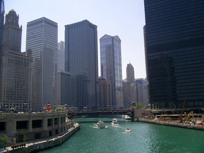
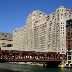
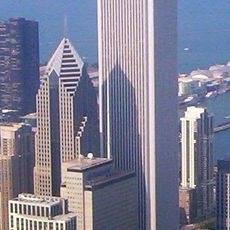
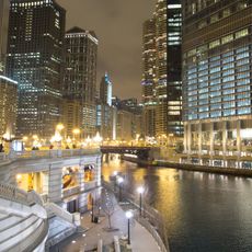
The Chicago River is a waterway running through the downtown area, splitting the skyline into three main branches as it winds between buildings and neighborhoods. It links Lake Michigan to inland canals and passes under bridges that open regularly to let boats move upstream or downstream.
Engineers reversed the natural flow in 1900 to keep polluted water from entering Lake Michigan and contaminating the drinking supply. This engineering work reshaped the waterway network and opened new shipping routes toward the interior of the continent.
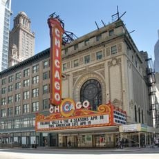
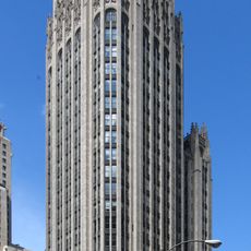
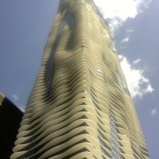
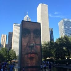
Boat tours show off skyscrapers and landmarks from a vantage point many first-time visitors find memorable. The waterway functions as a moving platform for photography and architecture appreciation throughout warmer months.
Water taxis run regularly along the waterway between spring and fall, connecting spots downtown and making it easy to move between neighborhoods. Pedestrian paths follow both banks in many sections, letting visitors walk beside the water and cross at bridge level.
City workers dye the water green once a year for Saint Patrick festivities, drawing thousands of onlookers to the banks. They pour nontoxic powder into the current, and the color stays visible for several hours, making for eye-catching photographs.
The community of curious travelers
AroundUs brings together thousands of curated places, local tips, and hidden gems, enriched daily by 60,000 contributors worldwide.