Enable Location

We need your location to show you interesting places around you

Discover nearby places

Find interesting locations and hidden gems around you

Precise directions

Get accurate directions and distances to places

Your location is never shared with other users. It's only used when you tap the location button.

Boonsboro

Log in to your account

Start exploring — it's free

Trusted by 68,101 travelers worldwide

Continue with Google
Continue with Apple
or

We will send you a code to connect

By continuing, you accept our Terms and Conditions and our Privacy Policy

Check your inbox

We've sent a pincode in your inbox. Please enter the code below.

Discussion Reviews 2 Photos
19.7k Popularity

Boonsboro, town in Washington County, Maryland, United States

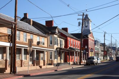
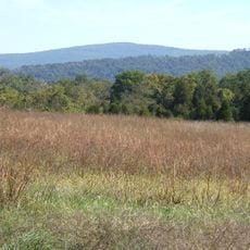
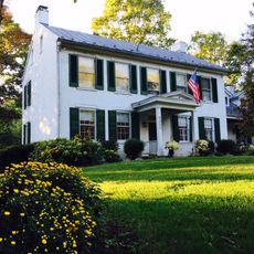
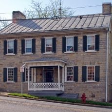
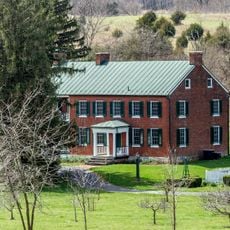
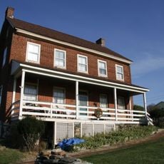
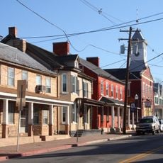
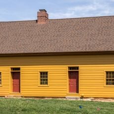
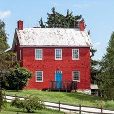
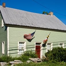
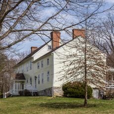
Boonsboro is a small town in Washington County, Maryland, situated at the foot of South Mountain between Hagerstown and Frederick. It has a quiet, rural character with historic buildings lining Main Street and green spaces surrounding the community.

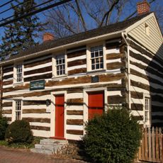
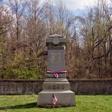
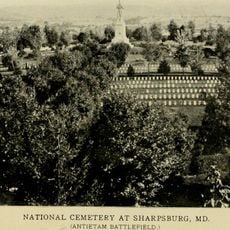
The town was founded in 1792 by brothers George and William Boone, cousins of explorer Daniel Boone, who laid out a grid of lots along a wagon road between Frederick and Hagerstown. During the Civil War, the Battle of South Mountain occurred nearby in 1862, and the town's buildings served as hospitals for wounded soldiers.

The town's name comes from the Boone brothers who founded it, and this family connection remains visible in local traditions and celebrations today. Visitors notice how the community keeps this heritage alive through events and landmarks that honor its origins.

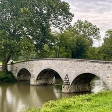
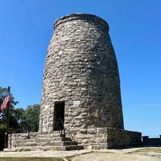
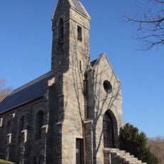
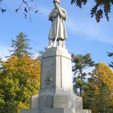
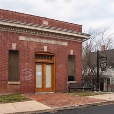
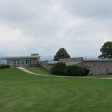
Visitors can walk through town to explore historic buildings and monuments, especially the Washington Monument on South Mountain that overlooks the area. There are small shops, cafés, and museums with exhibits about local history for those interested in learning more about the community.

Boonsboro was the site of the first macadam road construction in the United States in 1823, a pioneering technique that made travel smoother and safer. A year later, the Washington Monument was built on South Mountain, one of the earliest public memorials to the president in the nation.

The community of curious travelers

AroundUs brings together thousands of curated places, local tips, and hidden gems, enriched daily by 60,000 contributors worldwide.

Start exploring
Inception
1792
Elevation above the sea
166 m
GPS coordinates
39.50830,-77.65390
Latest update
February 16, 2026 22:20
Around this place
Burnside's Bridge
United States of America

Burnside's Bridge

9.3 km
South Mountain
United States of America

South Mountain

2.8 km
South Mountain State Park
United States of America

South Mountain State Park

6.9 km
Washington Monument State Park
United States of America

Washington Monument State Park

2.8 km
Greenbrier State Park
United States of America

Greenbrier State Park

4 km
Crystal Grottoes
United States of America

Crystal Grottoes

2.3 km
Lambs Knoll
United States of America

Lambs Knoll

7.1 km
Dahlgren Chapel
United States of America

Dahlgren Chapel

4 km
The American Volunteer
United States of America

The American Volunteer

9.3 km
Bowman House
United States of America

Bowman House

390 m
Turner's and Fox's Gaps Historic District
United States of America

Turner's and Fox's Gaps Historic District

3.9 km
Antietam National Cemetery
United States of America

Antietam National Cemetery

9.3 km
Cool Hollow House
United States of America

Cool Hollow House

7.4 km
Baltimore & Ohio Railroad Bridge, Antietam Creek
United States of America

Baltimore & Ohio Railroad Bridge, Antietam Creek

5.1 km
Piper House
United States of America

Piper House

9.6 km
Hoffman Farm
United States of America

Hoffman Farm

6 km
Henry Shoemaker Farmhouse
United States of America

Henry Shoemaker Farmhouse

6.8 km
Washington Monument
United States of America

Washington Monument

2.8 km
Boonsboro Historic District
United States of America

Boonsboro Historic District

272 m
Geeting Farm
United States of America

Geeting Farm

5.1 km
Routzahn-Miller Farmstead
United States of America

Routzahn-Miller Farmstead

5.9 km
Doub's Mill Historic District
United States of America

Doub's Mill Historic District

7.8 km
Hills, Dales and The Vinyard
United States of America

Hills, Dales and The Vinyard

5.3 km
Hitt's Mill and Houses
United States of America

Hitt's Mill and Houses

5.6 km
Keedysville Historic District
United States of America

Keedysville Historic District

4.6 km
Reno Monument
United States of America

Reno Monument

5.3 km
Keedy House
United States of America

Keedy House

5.2 km
Antietam National Battlefield Visitor Center
United States of America

Antietam National Battlefield Visitor Center

8.7 km
Show the full map
Reviews
Share your experience

No review yet

Discussions
Start a discussion...

No discussion yet

« Boonsboro - town in Washington County, Maryland, United States » is provided by Around Us (aroundus.com). Images and texts are derived from Wikimedia project under a Creative Commons license. You are allowed to copy, distribute, and modify copies of this page, under the conditions set by the license, as long as this note is clearly visible.

Discover hidden gems everywhere you go!

From secret cafés to breathtaking viewpoints, skip the crowded tourist spots and find places that match your style. Our app makes it easy with voice search, smart filtering, route optimization, and insider tips from travelers worldwide. Download now for the complete mobile experience.

Around Us App Screenshot

A unique approach to discovering new places

Le Figaro

All the places worth exploring

France Info

A tailor-made excursion in just a few clicks

20 Minutes

Around Us
Travel Guide & Maps
Download

Send to your phone

QR Code
1

Open the camera app on your mobile.

2

Point at the QR code with your camera. A notification will appear.

3

Tap the notification to open the link.