Enable Location

We need your location to show you interesting places around you

Discover nearby places

Find interesting locations and hidden gems around you

Precise directions

Get accurate directions and distances to places

Your location is never shared with other users. It's only used when you tap the location button.

Parkville

Log in to your account

Start exploring — it's free

Trusted by 63,420 travelers worldwide

Continue with Google
Continue with Apple
or

We will send you a code to connect

By continuing, you accept our Terms and Conditions and our Privacy Policy

Check your inbox

We've sent a pincode in your inbox. Please enter the code below.

Discussion Reviews 1 Photos
15.4k Popularity

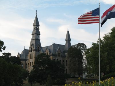
Parkville, city in Platte County, Missouri, United States

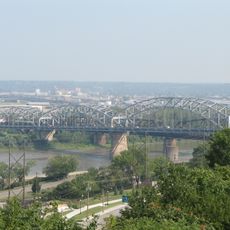
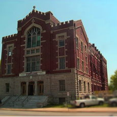
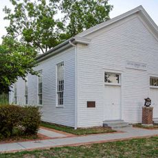
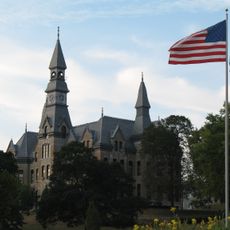
Parkville is a small city in Platte County, Missouri, situated along the Missouri River with historic buildings from the 1800s mixed with shops, galleries, and dining options. The downtown core centers on Pocket Park, a tiered garden space with benches surrounded by antique stores, cafes, and a former train station now serving as an art gallery.

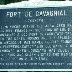
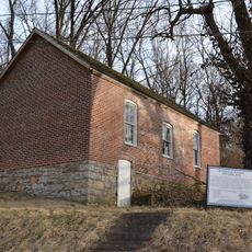
Parkville was founded in 1838 by George Park, a former soldier who purchased land at the river and formally planned the town in 1844. The city faced floods and significant conflicts, especially during the Civil War when pro-slavery forces attacked those printing anti-slavery materials.

The town's name comes from George Park, its founder, whose vision still shapes the place today. Locals and visitors experience a culture built on community involvement, support for small businesses, and shared seasonal celebrations that bring people together.

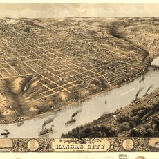
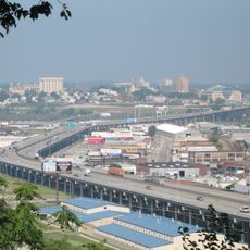
The town sits about 20 minutes by car from downtown Kansas City and is easily accessible via Highway 9. Walking is the best way to explore downtown, while the parks and nature sanctuary offer good trails for hiking, though pets and bicycles are not permitted in the sanctuary.

Parkville Coffee, a cafe that opened in 2010, gained attention when former President Obama stopped by for tea. Next to it, a brewery opened in 2023 inside two restored train cars, where visitors can taste local beers while sitting amid pieces of the town's railroad heritage.

The community of curious travelers

AroundUs brings together thousands of curated places, local tips, and hidden gems, enriched daily by 60,000 contributors worldwide.

Start exploring
Location
Elevation above the sea
252 m
GPS coordinates
39.19560,-94.68360
Latest update
February 20, 2026 00:01
Around this place
Wyandotte High School
United States of America

Wyandotte High School

9.3 km
Quindaro Townsite
United States of America

Quindaro Townsite

5 km
Memorial Hall
United States of America

Memorial Hall

10.5 km
Hannibal Bridge
United States of America

Hannibal Bridge

12.3 km
United States of America

Kaw Point

10.8 km
Buck O'Neil Bridge
United States of America

Buck O'Neil Bridge

12.3 km
Waddell "A" Truss Bridge
United States of America

Waddell "A" Truss Bridge

1.1 km
United States of America

National Golf Club of Kansas City

3.6 km
Intercity Viaduct
United States of America

Intercity Viaduct

10.9 km
Huron Cemetery
United States of America

Huron Cemetery

10.3 km
English Landing Park
United States of America

English Landing Park

1.1 km
Fort de Cavagnal
United States of America

Fort de Cavagnal

9.9 km
Scottish Rite Temple
United States of America

Scottish Rite Temple

10.4 km
Antioch Christian Church
United States of America

Antioch Christian Church

11.8 km
Fairfax Bridge
United States of America

Fairfax Bridge

6.8 km
Platte Purchase Bridge
United States of America

Platte Purchase Bridge

6.8 km
Sears, Roebuck and Company Warehouse Building
United States of America

Sears, Roebuck and Company Warehouse Building

11.4 km
Fire Station No. 9
United States of America

Fire Station No. 9

10.7 km
Kansas City, Kansas Public Library
United States of America

Kansas City, Kansas Public Library

10.3 km
Mackay Building
United States of America

Mackay Building

696 m
Benjamin Banneker School
United States of America

Benjamin Banneker School

337 m
Charles Smith Scott Memorial Observatory
United States of America

Charles Smith Scott Memorial Observatory

731 m
A. Porter Davis Residence
United States of America

A. Porter Davis Residence

9.4 km
Usine North American de Kansas City
United States of America

Usine North American de Kansas City

7.4 km
United States of America

TWA Administrative Offices Building

11.8 km
Washington Chapel C.M.E. Church
United States of America

Washington Chapel C.M.E. Church

204 m
Armour Theatre Building
United States of America

Armour Theatre Building

10.9 km
Wyandotte County Courthouse
United States of America

Wyandotte County Courthouse

10.3 km
Show the full map
Reviews
Share your experience

No review yet

Discussions
Start a discussion...

No discussion yet

« Parkville - city in Platte County, Missouri, United States » is provided by Around Us (aroundus.com). Images and texts are derived from Wikimedia project under a Creative Commons license. You are allowed to copy, distribute, and modify copies of this page, under the conditions set by the license, as long as this note is clearly visible.

Discover hidden gems everywhere you go!

From secret cafés to breathtaking viewpoints, skip the crowded tourist spots and find places that match your style. Our app makes it easy with voice search, smart filtering, route optimization, and insider tips from travelers worldwide. Download now for the complete mobile experience.

Around Us App Screenshot

A unique approach to discovering new places

Le Figaro

All the places worth exploring

France Info

A tailor-made excursion in just a few clicks

20 Minutes

Around Us
Travel Guide & Maps
Download

Send to your phone

QR Code
1

Open the camera app on your mobile.

2

Point at the QR code with your camera. A notification will appear.

3

Tap the notification to open the link.