Cape Hatteras National Seashore
Cape Hatteras National Seashore, National seashore on Outer Banks, North Carolina.
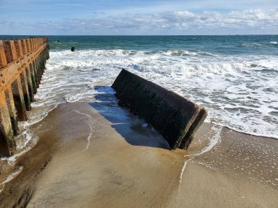
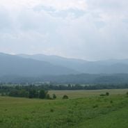
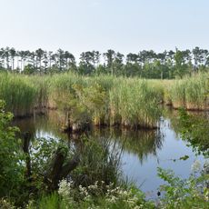
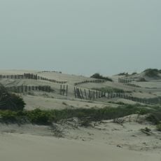
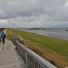
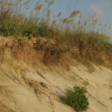
Cape Hatteras National Seashore is a coastal protected area along North Carolina's Outer Banks with beaches, dunes, marshes, and woodland areas. The landscape shifts between wide sandy beaches, interior forests, and wetlands that provide habitat for diverse wildlife.
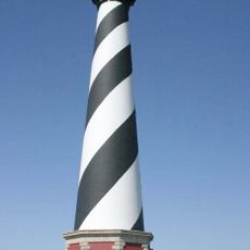
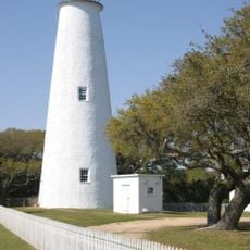
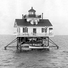
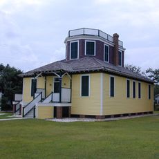
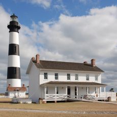
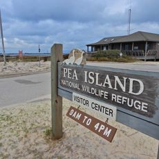
The area became a National Seashore in 1937 after major land donations made protection of these barrier islands possible. The lighthouse built in 1870 marks a long history of human settlement and navigation through these dangerous waters.
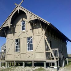
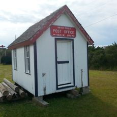
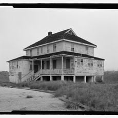
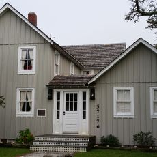
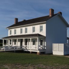
The area carries a strong connection to seafaring and fishing traditions visible in the small villages and local stories throughout the islands. Daily life here still reflects the rhythms and practices of people who have long depended on the ocean.
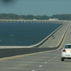
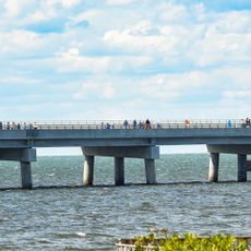
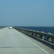
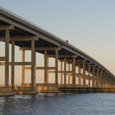
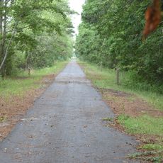
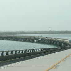
The best way to explore the area is on foot or by car along the coastal road connecting the islands. Visitors should prepare for changing weather conditions and bring water and sun protection.
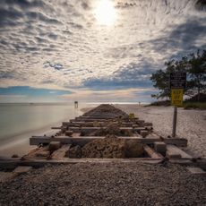
The sandbars shift constantly from wind and waves, regularly reshaping the coastline. This ongoing movement keeps the landscape alive and gives it a fleeting, ever-changing character.
Location: North Carolina
Operator: National Park Service
Address: Buxton, NC 27920, USA
Website: https://nps.gov/caha
GPS coordinates: 35.30360,-75.51140
Latest update: December 6, 2025 16:02
North Carolina offers a variety of places for all interests. You can explore the mountains in Great Smoky Mountains National Park, where hiking trails lead through forests to waterfalls. Biltmore Estate in Asheville invites you to see its gardens and castles. History lovers can visit the battleship...
Cape Hatteras Lighthouse
6.1 km
Bodie Island Light
57.5 km
Alligator River National Wildlife Refuge
61.6 km
Virginia Dare Memorial Bridge
68 km
Pea Island National Wildlife Refuge
39.9 km
Ocracoke Light
48.3 km
Graveyard of the Atlantic Museum
20.6 km
Rodanthe Bridge
34.2 km
Chicamacomico Life-Saving Station
32.7 km
Coquina Beach
59.3 km
Roanoke Marshes Light
59 km
Naval Facility Cape Hatteras
5.1 km
Salvo Post Office
26.5 km
Bodie Island Lifesaving and Coast Guard Station
58.7 km
University of North Carolina - Coastal Studies Institute
64.9 km
Inkwell
53.1 km
Hatteras Weather Bureau Station
18.8 km
Rasmus Midgett House
27.1 km
Ellsworth and Lovie Ballance House
18.3 km
Lindsay C. Warren Bridge
80.3 km
Washington Baum Bridge
66.7 km
Bodie Island Light Station
57.5 km
Bodie Island Visitor Center
57.5 km
North Pond Wildlife Trail
45.9 km
Pea Island National Wildlife Refuge Visitor Center
46 km
Creef Cut Trail
69.4 km
Pea Island Beach
46.4 km
Herbert C. Bonner Bridge
52.1 kmVisited this place? Tap the stars to rate it and share your experience / photos with the community! Try now! You can cancel it anytime.
Discover hidden gems everywhere you go!
From secret cafés to breathtaking viewpoints, skip the crowded tourist spots and find places that match your style. Our app makes it easy with voice search, smart filtering, route optimization, and insider tips from travelers worldwide. Download now for the complete mobile experience.
A unique approach to discovering new places❞
— Le Figaro
All the places worth exploring❞
— France Info
A tailor-made excursion in just a few clicks❞
— 20 Minutes