Chest opened
+${chestReward.xp} XP
Explorer
NOUVEAU ×${chestReward.collectible.quantity}
tapez pour fermer

See the monuments around you in AR Open chests in the app

Around Us is built for your phone — point your camera at the streets and discover the monuments and places around you in augmented reality. Around Us is built for your phone — chests unlock when you walk, explore and capture nearby places.

Enable Location

We need your location to show you interesting places around you

Discover nearby places

Find interesting locations and hidden gems around you

Precise directions

Get accurate directions and distances to places

Your location is never shared with other users. It's only used when you tap the location button.

Log in to your account

Start exploring — it's free

Trusted by 86,292 travelers worldwide

Continue with Google
Continue with Apple
or

We will send you a code to connect

By continuing, you accept our Terms and Conditions and our Privacy Policy

Check your inbox

We've sent a pincode in your inbox. Please enter the code below.

Discussion Reviews Photo
14.9k Popularity

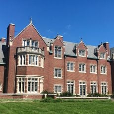
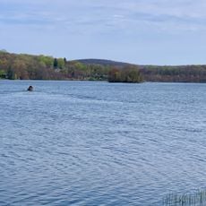
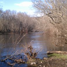
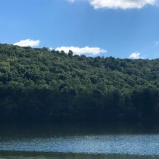
Budd Lake, Census-designated place in Morris County, New Jersey, United States.

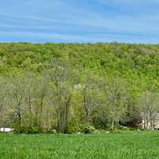
Budd Lake is a community in Mount Olive Township, Morris County, New Jersey, centered around a natural lake. The settlement blends residential neighborhoods with outdoor spaces and sits in terrain that connects to surrounding natural areas.

The lake took its name from John Budd, who purchased land here in 1714 when the water body was still called Hattacawanna Lake. Settlement developed gradually around this natural water source over the following centuries.

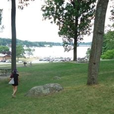
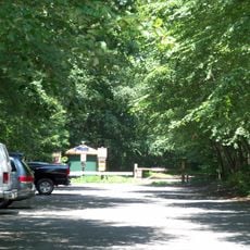
The community gathers in parks around the lake throughout the year for walks and outdoor activities. These green spaces form the heart of daily life in the township.

The area sits near main highways and has bus connections linking it to nearby towns and services. Local shops, restaurants, and amenities are distributed throughout the community for daily needs.

The lake feeds the South Branch Raritan River and is replenished by groundwater rising through surrounding wetlands. This connection to the river system makes it an important part of the watershed for the broader region.

The community of curious travelers

AroundUs brings together thousands of curated places, local tips, and hidden gems, enriched daily by 60,000 contributors worldwide.
Start exploring
Elevation above the sea
283 m
GPS coordinates
40.87350,-74.73680
Latest update
September 12, 2026 04:16
Around this place
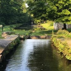
Morris Canal
United States of America

Morris Canal

3.1 mi
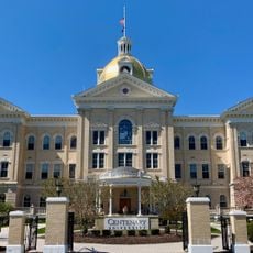
Centenary University
United States of America

Centenary University

5.3 mi
Waterloo Village
United States of America

Waterloo Village

3.1 mi
Hopatcong State Park
United States of America

Hopatcong State Park

4.7 mi
Rutherfurd Hall
United States of America

Rutherfurd Hall

4.9 mi
Allamuchy Mountain State Park
United States of America

Allamuchy Mountain State Park

5.2 mi
Schooley's Mountain
United States of America

Schooley's Mountain

4.3 mi
Lake Musconetcong
United States of America

Lake Musconetcong

3.2 mi
Stephens State Park
United States of America

Stephens State Park

3.8 mi
Seward Mansion
United States of America

Seward Mansion

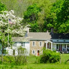
0.7 mi
Turkey Brook Park
United States of America

Turkey Brook Park

1.2 mi
Jacob C. Allen House
United States of America

Jacob C. Allen House

5.1 mi
Allamuchy Mountain
United States of America

Allamuchy Mountain

4.7 mi
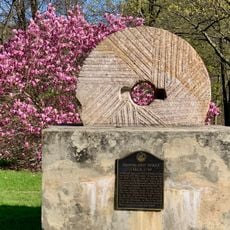
Plaster Mill
United States of America

Plaster Mill

2.5 mi
Allamuchy Freight House
United States of America

Allamuchy Freight House

6 mi
King Store and Homestead
United States of America

King Store and Homestead

4.5 mi
Ledgewood Historic District
United States of America

Ledgewood Historic District

4.3 mi
Sharpenstine Farmstead
United States of America

Sharpenstine Farmstead

6.2 mi
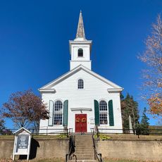
Stanhope United Methodist Church
United States of America

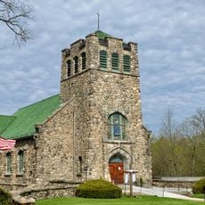
Stanhope United Methodist Church

2.5 mi
Silas Riggs House
United States of America

Silas Riggs House

4.4 mi
Mount Olive Village Historic District
United States of America

Mount Olive Village Historic District

1.6 mi
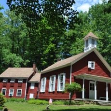
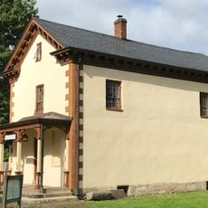
Flocktown Schoolhouse
United States of America

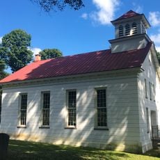
Flocktown Schoolhouse

4.8 mi
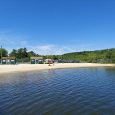
Budd Lake Municipal Beach
United States of America

Budd Lake Municipal Beach

1 mi
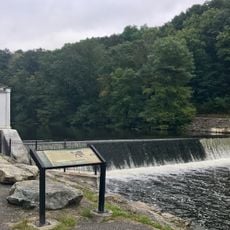
Saxton Falls Dam
United States of America

Saxton Falls Dam

3.4 mi
Landing Masonry Bridge
United States of America

Landing Masonry Bridge

4.3 mi
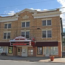
Palace Theatre
United States of America

Palace Theatre

2.5 mi
Waterloo Village United Methodist Church
United States of America

Waterloo Village United Methodist Church

3 mi
Brookland Forge
United States of America

Brookland Forge

4.8 mi
Show the full map
Reviews
Share your experience

No review yet

Discussions
Start a discussion...

No discussion yet

« Budd Lake - Census-designated place in Morris County, New Jersey, United States » is provided by Around Us (aroundus.com). Images and texts are derived from Wikimedia project under a Creative Commons license. You are allowed to copy, distribute, and modify copies of this page, under the conditions set by the license, as long as this note is clearly visible.

Discover hidden gems everywhere you go!

From secret cafés to breathtaking viewpoints, skip the crowded tourist spots and find places that match your style. Our app makes it easy with voice search, smart filtering, route optimization, and insider tips from travelers worldwide. Download now for the complete mobile experience.
Around Us App Screenshot

A unique approach to discovering new places

Le Figaro

All the places worth exploring

France Info

A tailor-made excursion in just a few clicks

20 Minutes

Around Us
Travel Guide & Maps
Download

Send to your phone

QR Code
1

Open the camera app on your mobile.

2

Point at the QR code with your camera. A notification will appear.

3

Tap the notification to open the link.