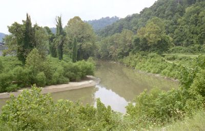
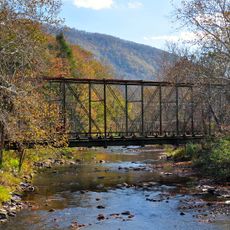
Tug Fork, River along McDowell County, West Virginia, US.
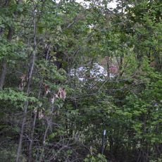
Tug Fork is a river that stretches roughly 159 miles through West Virginia, Virginia, and Kentucky, forming a natural border between several states. The waterway flows through steep-sided valleys with a mix of forested banks and developed areas, interrupted by dams that control the water flow.
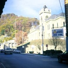
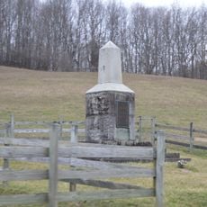
The river witnessed major conflict in the late 1800s, particularly the Hatfield-McCoy feud that erupted between families in the Pike County and Mingo County area. This violent dispute became one of the most remembered events in the region's past.
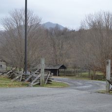
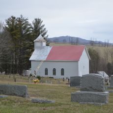
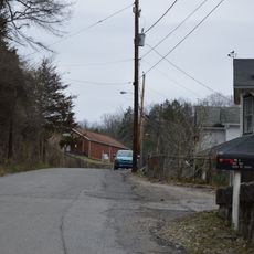
Local communities have long depended on the river for fishing and water resources, shaping daily life in the surrounding valleys. The waterway remains central to how residents understand their place within the region.
The river is accessible for activities like paddling and fishing at many points along its length, but paddlers must exit and re-enter at certain dams for safety reasons. Checking local conditions before heading out is wise, as water levels and current can change.
The waterway flows northward as part of the Mississippi River watershed, connecting through the Big Sandy and Ohio rivers to that major river system. Visitors often notice this unusual northward flow, which differs from the typical southward direction many expect in this region.
The community of curious travelers
AroundUs brings together thousands of curated places, local tips, and hidden gems, enriched daily by 60,000 contributors worldwide.