Zelienople, borough of Pennsylvania
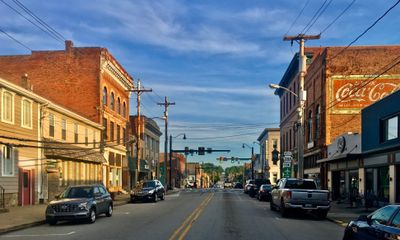
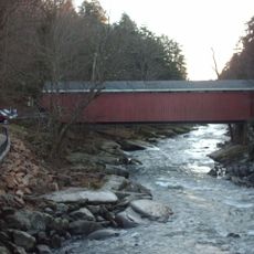
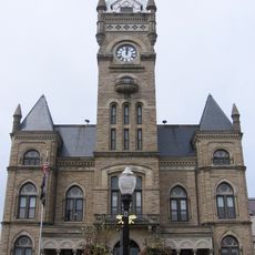
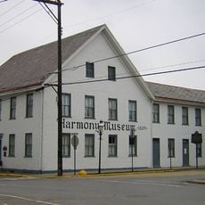
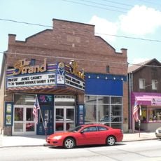
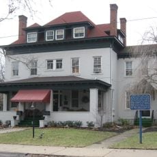
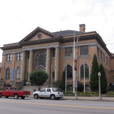
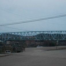
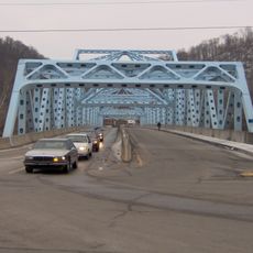
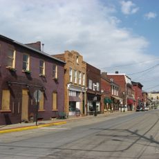
Zelienople is a borough in Butler County, Pennsylvania, set along Connoquenessing Creek with a main street lined with buildings dating back to the 1800s. The downtown area holds shops, restaurants, and the Strand Theater, all within a few walkable blocks surrounded by older residential streets.
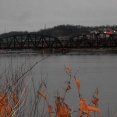
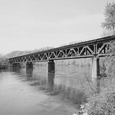
The borough was founded in 1802 by Detmar Basse, a German aristocrat who bought the land and named the settlement after his daughter. The railroad arrived in 1879, bringing new trade and helping local farms and businesses grow beyond the immediate area.
Zelienople takes its name from Zelie, the daughter of its German founder, giving the town a European character that is still easy to notice in its older buildings and street names. On summer evenings, Main Street fills with people browsing local crafts and food at the weekly outdoor market.
The borough sits north of Pittsburgh where Routes 19 and 68 meet, so a car is the easiest way to get there. Once you arrive, Main Street is short enough to cover on foot, and the roads around town are calm enough for cycling.
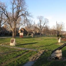
Founder Detmar Basse had a castle called Bassenheim built on his land, complete with towers and turrets, but it burned down and left no trace. The story of this lost structure is still passed down locally, making it a quiet but persistent part of how residents talk about their town's past.
The community of curious travelers
AroundUs brings together thousands of curated places, local tips, and hidden gems, enriched daily by 60,000 contributors worldwide.