Hocking River, River system in Athens County and Hocking County, United States
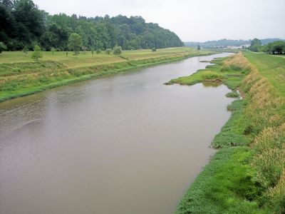
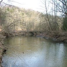
The Hocking River is a waterway that flows through southeastern Ohio from Bloom Township to the Ohio River at Hockingport, covering about 102 miles. It runs through woodlands and valleys, fed by smaller streams that join along its path.
Native Americans gave the river its name based on a bottle-shaped gorge near Lancaster, using their word for a gourd or container. This name has remained tied to the waterway since the early period of settlement in the region.
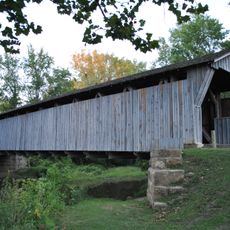
The river flows through several counties and serves as a gathering place for locals who fish, paddle, and walk along its banks. It holds meaning for the communities nearby as a source of recreation and natural beauty they share.
Visitors can access the river at several points along its course, most with parking areas and put-in spots for paddlers and canoeists. It is helpful to check water conditions and current weather before planning any activities on the water.
In the 1970s, the Army Corps of Engineers reshaped parts of the river channel near Ohio University to manage recurring flood problems in Athens. These modifications to the waterway remain visible today and reflect a period when human intervention directly altered the river's natural path.
The community of curious travelers
AroundUs brings together thousands of curated places, local tips, and hidden gems, enriched daily by 60,000 contributors worldwide.