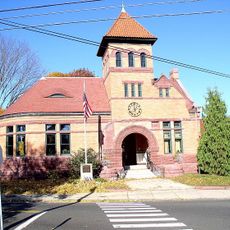
Seymour, town in Connecticut
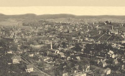
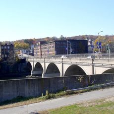
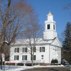
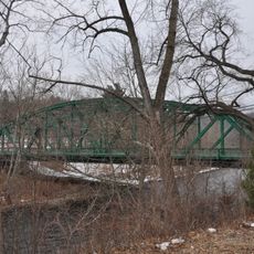
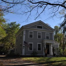
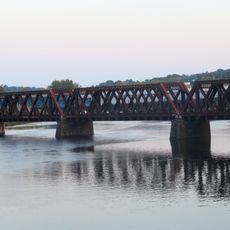
Seymour is a small town in western Connecticut where the Naugatuck and Housatonic rivers converge. The town spreads across a quiet landscape with riverside areas and green spaces that shape the daily rhythm of residents and visitors alike.
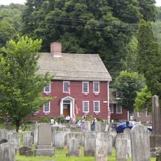
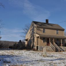
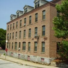
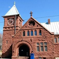
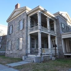
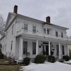
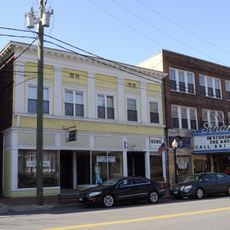
Originally called Chusetown and later Humphreysville, the area became an industrial hub after General David Humphreys established a woolen cloth factory in 1804. It received its official town status and name in 1850, eventually developing into a manufacturing center producing rubber, brass, and various goods.
The name Seymour honors Governor Thomas H. Seymour, who gave the town its official name in 1850. Local residents still reference earlier names like Chusetown and Humphreysville in conversation, keeping the town's layered past present in everyday life.
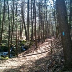
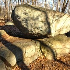
Visitors can walk along the rivers, fish, or kayak, with trails and overlooks like Little-Laurel Lime Ridge available for exploration. Parks like Keith Mitchell Forest with over 200 acres offer good opportunities for nature walks and a range of outdoor recreation.
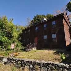
The H.P. & E. Day Company in Seymour made hardened rubber pens that later became the famous Bic ballpoint pen brand used by millions worldwide today. The town played a key part in the story of a common object now found in everyday life around the globe.
The community of curious travelers
AroundUs brings together thousands of curated places, local tips, and hidden gems, enriched daily by 60,000 contributors worldwide.