Enable Location

We need your location to show you interesting places around you

Discover nearby places

Find interesting locations and hidden gems around you

Precise directions

Get accurate directions and distances to places

Your location is never shared with other users. It's only used when you tap the location button.

Blaine County

Log in to your account

Start exploring — it's free

Trusted by 61,664 travelers worldwide

Continue with Google
Continue with Apple
or

We will send you a code to connect

By continuing, you accept our Terms and Conditions and our Privacy Policy

Check your inbox

We've sent a pincode in your inbox. Please enter the code below.

Blaine County, County in Nebraska, United States

Description

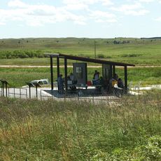
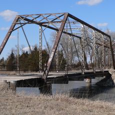
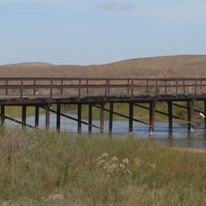
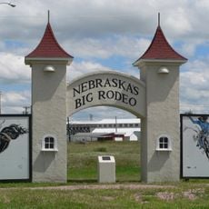
Blaine County is an administrative division in central Nebraska that spans open grassland with extensive pastures and grazing areas. The Nebraska National Forest is a significant feature, bringing patches of woodland to an otherwise grassy landscape.

History

The county received its administrative status in 1885 and was named after James G. Blaine, a prominent American politician of that era. Its establishment reflected the westward expansion movement that characterized the late 1800s.

Culture

The region is shaped by deep roots in farming and ranching that define daily life and the landscape. Throughout the county, agricultural operations remain central to how the community functions and identifies itself.

Practical

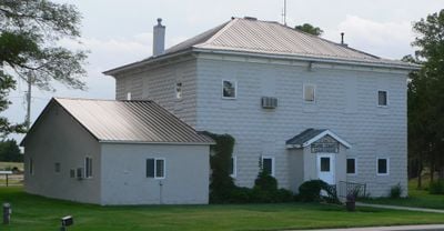
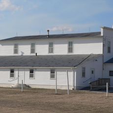
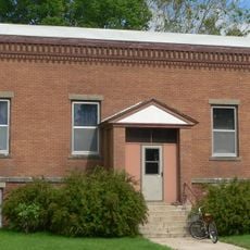
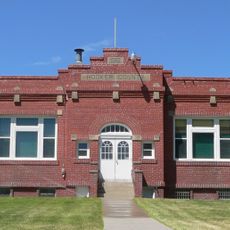
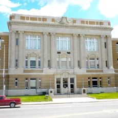
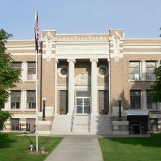
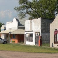
Brewster serves as the county seat and offers basic services and administrative facilities for visitors and residents. The area is sparsely populated, so expect a rural setting with considerable distances between towns.

Did you know?

The county ranks among Nebraska's least densely populated areas, with very few residents scattered across the landscape. This isolation gives the area an undisturbed quality that is rare in modern America.

Location
Inception
1885
Capital city
Brewster
Shares border with
Brown County, Cherry County, Loup County, Custer County, Logan County, Thomas County
GPS coordinates
41.93000,-99.98000
Latest update
December 10, 2025 15:52

AroundUs brings together thousands of curated places, local tips, and hidden gems, enriched daily by 60,000 contributors worldwide. Discover all places nearby (Nebraska).

Around this place
Buffalo Bill Ranch
United States of America

Buffalo Bill Ranch

109.1 km
Dowse Sod House
United States of America

Dowse Sod House

75.8 km
Fort McPherson
United States of America

Fort McPherson

111.2 km
Valentine National Wildlife Refuge
United States of America

Valentine National Wildlife Refuge

79.5 km
Fort McPherson National Cemetery
United States of America

Fort McPherson National Cemetery

110.6 km
Fort Hartsuff State Historical Park
United States of America

Fort Hartsuff State Historical Park

82.6 km
St. Anselm's Catholic Church, Rectory and Parish Hall
United States of America

St. Anselm's Catholic Church, Rectory and Parish Hall

36.2 km
Rad Slavin cis. 112 Z.C.B.J. Hall
United States of America

Rad Slavin cis. 112 Z.C.B.J. Hall

77.2 km
Niobrara Valley Preserve
United States of America

Niobrara Valley Preserve

95.1 km
Carns State Aid Bridge
United States of America

Carns State Aid Bridge

98.4 km
Sargent Bridge
United States of America

Sargent Bridge

60.7 km
Twin Bridge
United States of America

Twin Bridge

78.6 km
Neville Center for the Performing Arts
United States of America

Neville Center for the Performing Arts

109.6 km
Garfield County Frontier Fairgrounds
United States of America

Garfield County Frontier Fairgrounds

73.1 km
Burwell Carnegie Library
United States of America

Burwell Carnegie Library

72.2 km
People's Unitarian Church
United States of America

People's Unitarian Church

94.5 km
Hooker County Courthouse
United States of America

Hooker County Courthouse

89 km
Lincoln County Courthouse
United States of America

Lincoln County Courthouse

109.8 km
Brantly Sturdevant House
United States of America

Brantly Sturdevant House

106.1 km
Valley County Courthouse
United States of America

Valley County Courthouse

94.6 km
Custer County Courthouse
United States of America

Custer County Courthouse

71.1 km
Custer County Courthouse
United States of America

Custer County Courthouse

65.1 km
Brenizer Library
United States of America

Brenizer Library

52.8 km
Rock County Courthouse
United States of America

Rock County Courthouse

81.4 km
Broken Bow Carnegie Library
United States of America

Broken Bow Carnegie Library

65 km
Union Pacific 6922
United States of America

Union Pacific 6922

108.3 km
Union Pacific 3977
United States of America

Union Pacific 3977

108.3 km
Tiffany Theater
United States of America

Tiffany Theater

65 km
Show the full map
Administrative divisions
« Blaine County - County in Nebraska, United States » is provided by Around Us (aroundus.com). Images and texts are derived from Wikimedia project under a Creative Commons license. You are allowed to copy, distribute, and modify copies of this page, under the conditions set by the license, as long as this note is clearly visible.

Discover hidden gems everywhere you go!

From secret cafés to breathtaking viewpoints, skip the crowded tourist spots and find places that match your style. Our app makes it easy with voice search, smart filtering, route optimization, and insider tips from travelers worldwide. Download now for the complete mobile experience.

Around Us App Screenshot

A unique approach to discovering new places

Le Figaro

All the places worth exploring

France Info

A tailor-made excursion in just a few clicks

20 Minutes

Around Us
Travel Guide & Maps
Download

Send to your phone

QR Code
1

Open the camera app on your mobile.

2

Point at the QR code with your camera. A notification will appear.

3

Tap the notification to open the link.