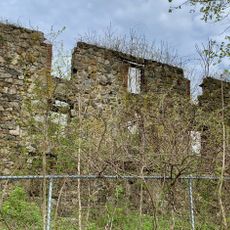
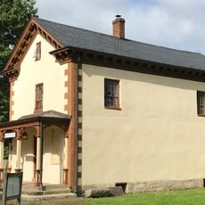
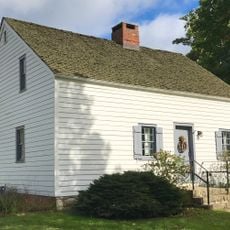
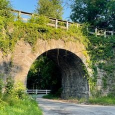
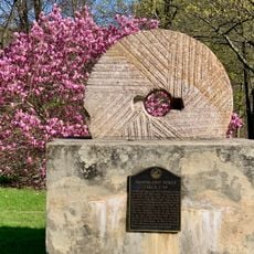
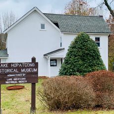
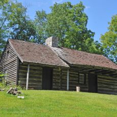
Byram Township, township in Sussex County, New Jersey
Location: Sussex County
Inception: February 5, 1798
Elevation above the sea: 321 m
Website: https://www.byramtwp.org/
Shares border with: Andover Township, Andover, Green Township, Allamuchy Township, Mount Olive Township, Stanhope, Hopatcong, Roxbury Township, Sparta Township
Website: https://byramtwp.org
GPS coordinates: 40.96010,-74.71340
Latest update: March 4, 2025 19:21
Morris Canal
7.3 km
Hopatcong State Park
6.5 km
Rutherfurd Hall
9.8 km
Allamuchy Mountain State Park
7.2 km
Lake Musconetcong
6.2 km
Kittatinny Valley State Park
6.8 km
St. Paul's Abbey
9.2 km
Lotta Crabtree Cottage
7.3 km
Seward Mansion
10.5 km
Turkey Brook Park
10.7 km
Allamuchy Mountain
5.7 km
Plaster Mill
6.5 km
Allamuchy Freight House
9.5 km
King Store and Homestead
10.5 km
Ledgewood Historic District
10.2 km
Lubber Run Fill
2.1 km
Stanhope United Methodist Church
6.6 km
Silas Riggs House
10.4 km
White Deer Plaza and Boardwalk District
10.1 km
Landing Masonry Bridge
7.4 km
Saxton Falls Dam
10.7 km
Hole in the Wall Stone Arch Bridge
2.7 km
Palace Theatre
6.7 km
Waterloo Village United Methodist Church
6.3 km
Brookland Forge
6.3 km
Lake Hopatcong Historical Museum
6.3 km
Rutan Log Cabin
6 km
Lake Mohawk
7.4 kmReviews
Visited this place? Tap the stars to rate it and share your experience / photos with the community! Try now! You can cancel it anytime.
Discover hidden gems everywhere you go!
From secret cafés to breathtaking viewpoints, skip the crowded tourist spots and find places that match your style. Our app makes it easy with voice search, smart filtering, route optimization, and insider tips from travelers worldwide. Download now for the complete mobile experience.
A unique approach to discovering new places❞
— Le Figaro
All the places worth exploring❞
— France Info
A tailor-made excursion in just a few clicks❞
— 20 Minutes