Sussex County

Log in to your account

AroundUs is a community-driven map of interesting places, built by curious explorers like you. It grows with every review, story, and photo you share.
Connect to save your favorite spots, contribute locations, and create personalized routes.
Continue with Google
Continue with Apple
Continue with X
Continue with Facebook
Continue with email
By continuing, you accept our Terms and Conditions and our Privacy Policy
Create an account
Add to collection
Map
Suggest a change
Share

Sussex County, County in northern New Jersey, United States

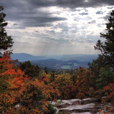
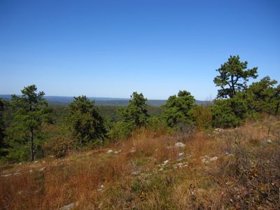
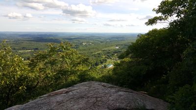
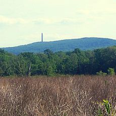
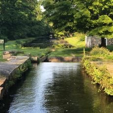
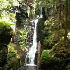
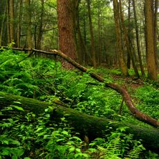
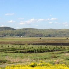
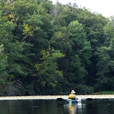
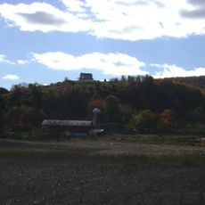
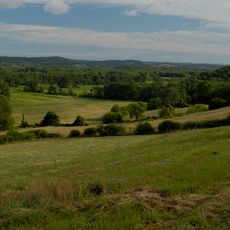
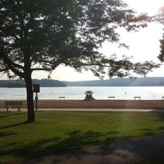
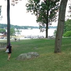
Sussex County is an administrative area in northern New Jersey that covers rolling hills, farmland, several lakes, and wooded areas. The territory includes rural communities and small towns with extensive protected natural areas and public recreation spaces.

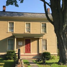
The region was officially designated a county in 1753 and named after Sussex in England, where many early settlers originated. Over the centuries, the area shifted from isolated farmsteads to connected communities with industry and craft trades.

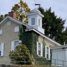
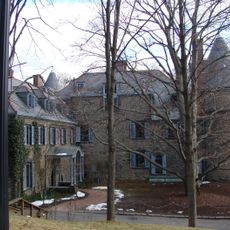
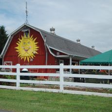
Many town centers preserve the layout and architecture from earlier farming settlements, with old barns and fieldstone walls marking property lines. Farmers markets and roadside stands continue to sell locally grown produce, reflecting the working agricultural heritage that shaped community life here.

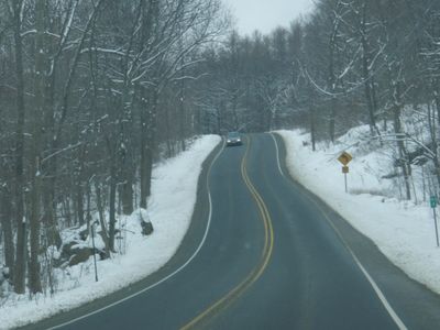
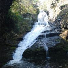
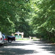
Visitors reach the different towns through a network of rural roads, with some sections winding through the hills. Many public parks and recreation areas offer access to trails and waterways, most pleasant to explore during spring and fall.

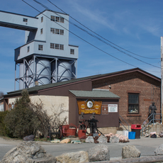
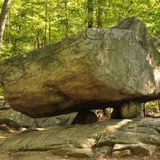
The Franklin Mineral Museum displays minerals from former zinc mines that occur nowhere else on Earth. Some specimens glow in unusual colors under ultraviolet light, drawing collectors from many countries.

Location: New Jersey

Inception: June 8, 1753

Capital city: Newton

Shares border with: Passaic County, Morris County, Warren County, Monroe County, Pike County, Orange County

Website: https://sussex.nj.us

GPS coordinates: 41.14000,-74.69000

Latest update: December 13, 2025 18:08

Photos
Around this place
Mountain Creek Waterpark
United States of America

Mountain Creek Waterpark

16.3 km
Blair Academy
United States of America

Blair Academy

28.8 km
High Point
United States of America

High Point

20.3 km
Morris Canal
United States of America

Morris Canal

26.5 km
Delaware Water Gap National Recreation Area
United States of America

Delaware Water Gap National Recreation Area

18.8 km
Waterloo Village
United States of America

Waterloo Village

25.6 km
Grey Towers National Historic Site
United States of America

Grey Towers National Historic Site

23.6 km
United States of America

Land of Make Believe

34.8 km
High Point State Park
United States of America

High Point State Park

17 km
Tri-States Monument
United States of America

Tri-States Monument

24.2 km
Dingmans Falls
United States of America

Dingmans Falls

19.7 km
Sterling Hill Mining Museum
United States of America

Sterling Hill Mining Museum

9.4 km
Stokes State Forest
United States of America

Stokes State Forest

10.3 km
Jenny Jump State Forest
United States of America

Jenny Jump State Forest

31.3 km
Dingman's Ferry Bridge
United States of America

Dingman's Ferry Bridge

16.8 km
Wawayanda State Park
United States of America

Wawayanda State Park

22.3 km
United States of America

Kikeout Mountain

31.2 km
Rutan Hill
United States of America

Rutan Hill

11.7 km
Wallkill River National Wildlife Refuge
United States of America

Wallkill River National Wildlife Refuge

15.7 km
Space Farms Zoo and Museum
United States of America

Space Farms Zoo and Museum

7.8 km
Tripod Rock
United States of America

Tripod Rock

32.6 km
United States of America

Bertrand Island Amusement Park

25.5 km
Swartswood State Park
United States of America

Swartswood State Park

13.1 km
United States of America

Raymondskill Falls

20.9 km
Hopatcong State Park
United States of America

Hopatcong State Park

25.2 km
Rutherfurd Hall
United States of America

Rutherfurd Hall

27.2 km
Siddhachalam
United States of America

Siddhachalam

30.1 km
Allamuchy Mountain State Park
United States of America

Allamuchy Mountain State Park

25.6 km
Show the full map
Reviews

Visited this place? Tap the stars to rate it and share your experience / photos with the community! Try now! You can cancel it anytime.

Administrative divisions
« Sussex County - County in northern New Jersey, United States » is provided by Around Us (aroundus.com). Images and texts are derived from Wikimedia project under a Creative Commons license. You are allowed to copy, distribute, and modify copies of this page, under the conditions set by the license, as long as this note is clearly visible.

Discover hidden gems everywhere you go!

From secret cafés to breathtaking viewpoints, skip the crowded tourist spots and find places that match your style. Our app makes it easy with voice search, smart filtering, route optimization, and insider tips from travelers worldwide. Download now for the complete mobile experience.

Around Us App Screenshot

A unique approach to discovering new places

Le Figaro

All the places worth exploring

France Info

A tailor-made excursion in just a few clicks

20 Minutes