Chest opened
+${chestReward.xp} XP
Explorer
NOUVEAU ×${chestReward.collectible.quantity}
tapez pour fermer

See the monuments around you in AR Open chests in the app

Around Us is built for your phone — point your camera at the streets and discover the monuments and places around you in augmented reality. Around Us is built for your phone — chests unlock when you walk, explore and capture nearby places.

Enable Location

We need your location to show you interesting places around you

Discover nearby places

Find interesting locations and hidden gems around you

Precise directions

Get accurate directions and distances to places

Your location is never shared with other users. It's only used when you tap the location button.

Island Pond

Log in to your account

Start exploring — it's free

Trusted by 86,822 travelers worldwide

Continue with Google
Continue with Apple
or

We will send you a code to connect

By continuing, you accept our Terms and Conditions and our Privacy Policy

Check your inbox

We've sent a pincode in your inbox. Please enter the code below.

Discussion Reviews 1 Photos
10.4k Popularity

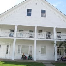
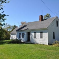
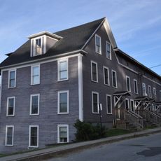
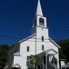
Island Pond, Census-designated place in Brighton, Vermont, United States

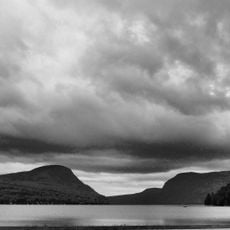
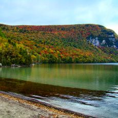
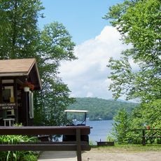
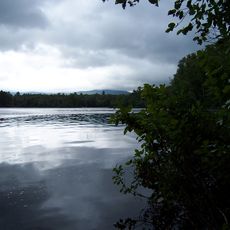
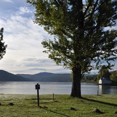
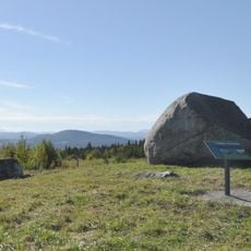
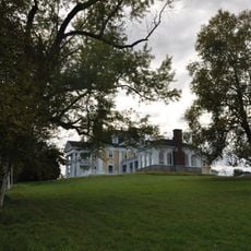
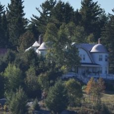
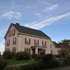
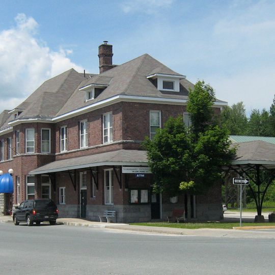
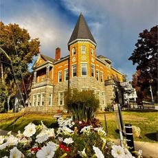
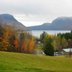
Island Pond is a small census-designated place in northeastern Vermont centered around a freshwater lake and surrounding forest land. The community sits at the intersection of Routes 114 and 105, serving as a gateway between Vermont and the Canadian border.

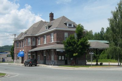
The Grand Trunk Railway established Island Pond in 1853 as a major railroad junction connecting Montreal to Portland. This railroad status shaped the settlement's growth and identity for many decades.

The Island Pond Historical Society maintains records and exhibits that document the transformation of this Vermont community from a railroad center.

The two main roads meet in the center and make navigation straightforward for visitors exploring the area. Parking is generally easy to find, and the quiet rural nature of the place makes it accessible both by car and on foot.

The area is known as a moose-spotting region where visitors often see these large animals during dawn and dusk hours. Local residents frequently share tips about where to look for these shy creatures.

The community of curious travelers

AroundUs brings together thousands of curated places, local tips, and hidden gems, enriched daily by 60,000 contributors worldwide.
Start exploring
Location
Elevation above the sea
365 m
GPS coordinates
44.81472,-71.88028
Latest update
September 12, 2026 04:48
Around this place
Haskell Free Library and Opera House
United States of America

Haskell Free Library and Opera House

17 mi
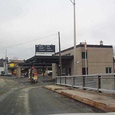
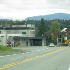
Derby Line–Stanstead Border Crossing
Canada

Derby Line–Stanstead Border Crossing

17 mi
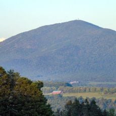
Burke Mountain
United States of America

Burke Mountain

16.9 mi
Silvio O. Conte National Fish and Wildlife Refuge
United States of America

Silvio O. Conte National Fish and Wildlife Refuge

6.5 mi
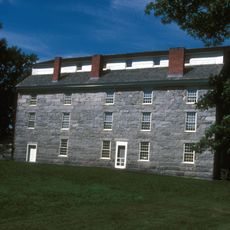
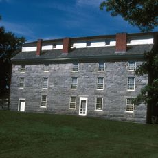
Old Stone House Museum
United States of America

Old Stone House Museum

14.1 mi
Mount Hor
United States of America

Mount Hor

11 mi
Willoughby State Forest
United States of America

Willoughby State Forest

11.3 mi
Maidstone State Park
United States of America

Maidstone State Park

16.8 mi
Brighton State Park
United States of America

Brighton State Park

1.7 mi
Norton–Stanhope Border Crossing
Canada

Norton–Stanhope Border Crossing

14.2 mi
Brownington Village Historic District
United States of America

Brownington Village Historic District

14.2 mi
Crystal Lake State Park
United States of America

Crystal Lake State Park

15.1 mi
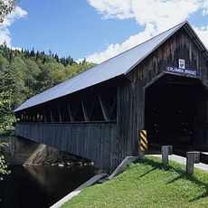
Columbia Bridge
United States of America

Columbia Bridge

16.3 mi
Sentinel Rock State Park
United States of America

Sentinel Rock State Park

7.6 mi
Burklyn Hall
United States of America

Burklyn Hall

16.4 mi
Fox Hall
United States of America

Fox Hall

9.9 mi
Darling Estate Historic District
United States of America

Darling Estate Historic District

16.4 mi
Toll House
United States of America

Toll House

15.3 mi
Crystal Lake Falls Historic District
United States of America

Crystal Lake Falls Historic District

15.2 mi
Bloomfield-Nulhegan River Route 102 Bridge
United States of America

Bloomfield-Nulhegan River Route 102 Bridge

12.2 mi
Union Meeting House
United States of America

Union Meeting House

13.7 mi
L. P. Jenne Block
United States of America

L. P. Jenne Block

15.5 mi
Martin Homestead
United States of America

Martin Homestead

14.3 mi
King Block
United States of America

King Block

15.2 mi
Island Pond Historic District
United States of America

Island Pond Historic District

240 ft
Lake Willoughby
United States of America

Lake Willoughby

9.9 mi
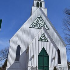
Église Stanstead South United
Canada

Église Stanstead South United

17 mi
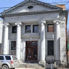
Banque Eastern Townships
Canada

Banque Eastern Townships

17.1 mi
Show the full map
Reviews
Share your experience

No review yet

Discussions
Start a discussion...

No discussion yet

« Island Pond - Census-designated place in Brighton, Vermont, United States » is provided by Around Us (aroundus.com). Images and texts are derived from Wikimedia project under a Creative Commons license. You are allowed to copy, distribute, and modify copies of this page, under the conditions set by the license, as long as this note is clearly visible.

Discover hidden gems everywhere you go!

From secret cafés to breathtaking viewpoints, skip the crowded tourist spots and find places that match your style. Our app makes it easy with voice search, smart filtering, route optimization, and insider tips from travelers worldwide. Download now for the complete mobile experience.
Around Us App Screenshot

A unique approach to discovering new places

Le Figaro

All the places worth exploring

France Info

A tailor-made excursion in just a few clicks

20 Minutes

Around Us
Travel Guide & Maps
Download

Send to your phone

QR Code
1

Open the camera app on your mobile.

2

Point at the QR code with your camera. A notification will appear.

3

Tap the notification to open the link.