Chest opened
+${chestReward.xp} XP
Explorer
NOUVEAU ×${chestReward.collectible.quantity}
tapez pour fermer
Chest locked

Open chests in the app

Around Us is built for your phone — chests unlock when you walk, explore and capture nearby places.

Enable Location

We need your location to show you interesting places around you

Discover nearby places

Find interesting locations and hidden gems around you

Precise directions

Get accurate directions and distances to places

Your location is never shared with other users. It's only used when you tap the location button.

Bean Station

Log in to your account

Start exploring — it's free

Trusted by 72,891 travelers worldwide

Continue with Google
Continue with Apple
or

We will send you a code to connect

By continuing, you accept our Terms and Conditions and our Privacy Policy

Check your inbox

We've sent a pincode in your inbox. Please enter the code below.

Discussion Reviews 2 Photos
20.1k Popularity

Bean Station, Town in Grainger and Hawkins counties, Tennessee, United States

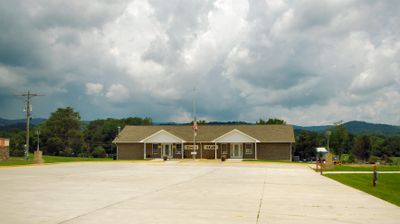
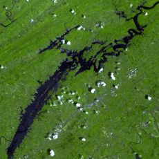
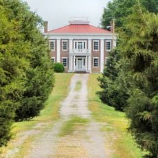
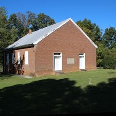
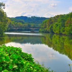
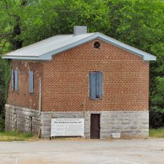
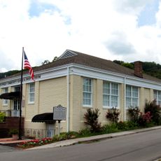
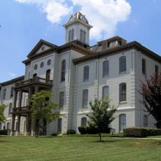
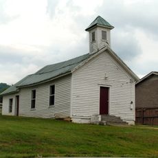
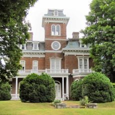
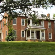
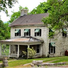
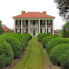
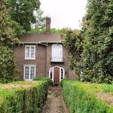
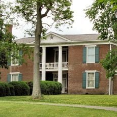
Bean Station is a small town in eastern Tennessee located near the border of Grainger County and Hawkins County, close to Cherokee Lake. The town has simple, historic buildings with small shops and parks connected by quiet streets.

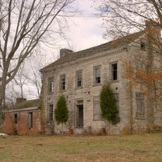
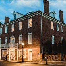
The town started as a stopping point at two major trade routes, later known as the Wilderness Road and Great Indian Warpath, that brought travelers westward. During the 1800s, the town was known for its large tavern, where presidents like Andrew Jackson stayed overnight.

Bean Station takes its name from the Bean family, who settled here in the late 1700s. The name recalls the town's origins as a stopping point for travelers crossing the region.

The town is easy to reach from larger highways and offers quick access to Cherokee Lake for fishing, boating, and picnicking. Visitors can explore the quiet streets on foot and spend time in parks and along the water.

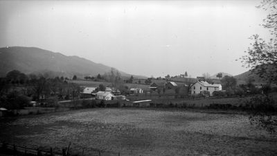
The town had to relocate in 1940 when the Cherokee Dam was built and flooded the original town site. This event shaped the town's current structure and shows how the community adapted to major change.

The community of curious travelers

AroundUs brings together thousands of curated places, local tips, and hidden gems, enriched daily by 60,000 contributors worldwide.

Start exploring
Location
Location
Inception
1996
Elevation above the sea
350 m
GPS coordinates
36.34361,-83.28417
Latest update
February 16, 2026 22:00
Around this place
Cherokee Lake
United States of America

Cherokee Lake

19.7 km
Morristown College
United States of America

Morristown College

13.7 km
Panther Creek State Park
United States of America

Panther Creek State Park

18.2 km
Crockett Tavern Museum
United States of America

Crockett Tavern Museum

13.7 km
United States of America

Morristown Main Street Historic District

14.5 km
Tate Springs Springhouse
United States of America

Tate Springs Springhouse

5.5 km
Rose Center
United States of America

Rose Center

14.6 km
Fairfax
United States of America

Fairfax

30.8 km
Bethesda Presbyterian Church
United States of America

Bethesda Presbyterian Church

11.8 km
Burke–Tarr Stadium
United States of America

Burke–Tarr Stadium

30.6 km
Bulls Gap Historic District
United States of America

Bulls Gap Historic District

20.3 km
Conway Bridge
United States of America

Conway Bridge

28.3 km
Claiborne County Jail
United States of America

Claiborne County Jail

28.2 km
Price Public Elementary School
United States of America

Price Public Elementary School

25.7 km
St. Marks Presbyterian Church
United States of America

St. Marks Presbyterian Church

25.8 km
Rural Mount
United States of America

Rural Mount

23.6 km
Hamblen County Courthouse
United States of America

Hamblen County Courthouse

14.7 km
Henderson Chapel African Methodist Episcopal Zion Church
United States of America

Henderson Chapel African Methodist Episcopal Zion Church

22 km
Glenmore
United States of America

Glenmore

29.9 km
Lawson D. Franklin House
United States of America

Lawson D. Franklin House

28.5 km
James Weir House
United States of America

James Weir House

28.4 km
Graham-Kivett House
United States of America

Graham-Kivett House

28.4 km
William Cocke House
United States of America

William Cocke House

16.2 km
Branner-Hicks House
United States of America

Branner-Hicks House

29.6 km
St. Paul Presbyterian Church
United States of America

St. Paul Presbyterian Church

20.9 km
Fairvue
United States of America

Fairvue

27.8 km
Hale Springs Inn
United States of America

Hale Springs Inn

25.8 km
Kesterson-Watkins House
United States of America

Kesterson-Watkins House

25.1 km
Show the full map
Reviews
Share your experience

No review yet

Discussions
Start a discussion...

No discussion yet

« Bean Station - Town in Grainger and Hawkins counties, Tennessee, United States » is provided by Around Us (aroundus.com). Images and texts are derived from Wikimedia project under a Creative Commons license. You are allowed to copy, distribute, and modify copies of this page, under the conditions set by the license, as long as this note is clearly visible.

Discover hidden gems everywhere you go!

From secret cafés to breathtaking viewpoints, skip the crowded tourist spots and find places that match your style. Our app makes it easy with voice search, smart filtering, route optimization, and insider tips from travelers worldwide. Download now for the complete mobile experience.

Around Us App Screenshot

A unique approach to discovering new places

Le Figaro

All the places worth exploring

France Info

A tailor-made excursion in just a few clicks

20 Minutes

Around Us
Travel Guide & Maps
Download

Send to your phone

QR Code
1

Open the camera app on your mobile.

2

Point at the QR code with your camera. A notification will appear.

3

Tap the notification to open the link.