Lunenburg, human settlement in Worcester County, Massachusetts, United States of America
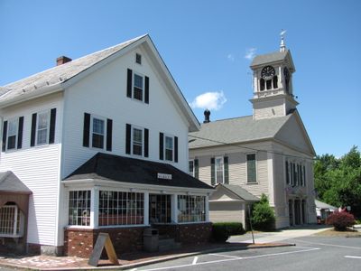
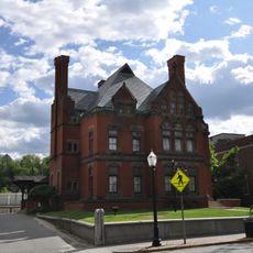
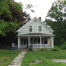
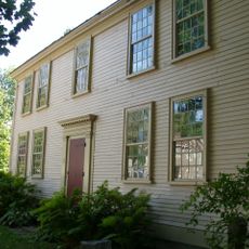
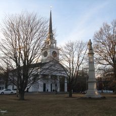
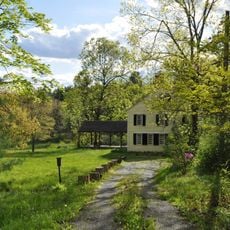
Lunenburg is a small town in Worcester County, Massachusetts, set across gently rolling land with farms, orchards, and scattered residential areas. There is no dense downtown core; instead, the town spreads loosely along a few main roads lined with older homes and open land.
The settlement was founded in 1718 and formally recognized as a town in 1728, named after a title held by Britain's King George II. During the colonial wars of the 18th century, raids by French-allied forces caused serious disruption to the early community.
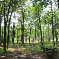
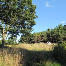
Lunenburg maintains its rural character through active orchards and farms that shape the landscape and are used by locals year-round. The town strengthens community bonds through regular town gatherings and local events that bring neighbors together.
The town is easy to get around by car, with most points of interest spread along the main roads. Nearby train connections offer access to larger cities for those who want to combine a rural visit with urban stops.
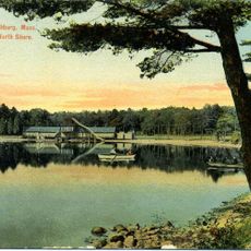
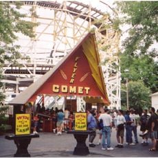
Whalom Park ran as an amusement park on the edge of town from 1893 until 2000, drawing generations of visitors from across the region. Its wooden Comet Flyer roller coaster became one of the most remembered features of the park and still comes up in local conversations today.
The community of curious travelers
AroundUs brings together thousands of curated places, local tips, and hidden gems, enriched daily by 60,000 contributors worldwide.