Chest opened
+${chestReward.xp} XP
Explorer
NOUVEAU ×${chestReward.collectible.quantity}
tapez pour fermer
Chest locked

Open chests in the app

Around Us is built for your phone — chests unlock when you walk, explore and capture nearby places.

Enable Location

We need your location to show you interesting places around you

Discover nearby places

Find interesting locations and hidden gems around you

Precise directions

Get accurate directions and distances to places

Your location is never shared with other users. It's only used when you tap the location button.

Log in to your account

Start exploring — it's free

Trusted by 72,888 travelers worldwide

Continue with Google
Continue with Apple
or

We will send you a code to connect

By continuing, you accept our Terms and Conditions and our Privacy Policy

Check your inbox

We've sent a pincode in your inbox. Please enter the code below.

Aleutian Basin
Discussion Reviews Photo
1.9k Popularity

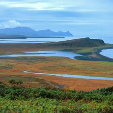
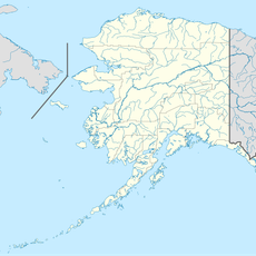
Aleutian Basin, Submarine depression in southwestern Bering Sea, US.

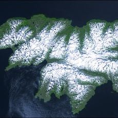
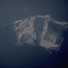
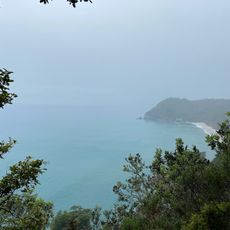
The Aleutian Basin is a submarine depression in the southwestern Bering Sea with extensive areas between roughly 3,600 and 4,000 meters deep. The region is marked by several large submarine canyons that form its most distinctive geological features.

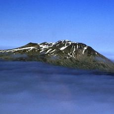
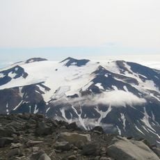
The northern section of the Shirshov Ridge formed around 95 million years ago, while the southern area developed during the Early Oligocene period. These two phases of geological change created the basin's distinctive structure.

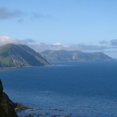
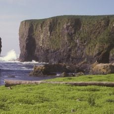
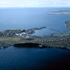
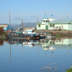
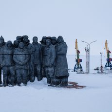
Coastal communities in the Bering Sea region maintain deep ties to these waters through fishing practices and maritime traditions passed down through generations. This connection continues to shape how people in the area relate to and depend on the sea.

The basin itself is not directly accessible to visitors but can be explored through research vessels and oceanographic expeditions. Those interested should contact institutions that organize research trips to this remote area.

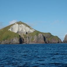
The region hosts a remarkable array of submarine topography, including an exceptionally deep canyon that harbors marine life and geological processes in extreme conditions. These deepest areas form their own ecosystem that fascinates researchers.

The community of curious travelers

AroundUs brings together thousands of curated places, local tips, and hidden gems, enriched daily by 60,000 contributors worldwide.

Start exploring
GPS coordinates
57.00000,177.00000
Latest update
December 14, 2025 11:24
Around this place
Attu Island
United States of America

Attu Island

525.6 km
COBRA DANE
United States of America

COBRA DANE

509.7 km
Komandorsky Zapovednik
Russian Federation

Komandorsky Zapovednik

701.7 km
Atka B-24D Liberator
United States of America

Atka B-24D Liberator

750.2 km
Alaska Maritime National Wildlife Refuge
United States of America

Alaska Maritime National Wildlife Refuge

803.9 km
Japanese Occupation Site, Kiska Island
United States of America

Japanese Occupation Site, Kiska Island

559.3 km
Koryak Nature Reserve
Russian Federation

Koryak Nature Reserve

702.3 km
Mount Adagdak
United States of America

Mount Adagdak

694.6 km
Gareloi Volcano
United States of America

Gareloi Volcano

640.6 km
Kanaga Volcano
United States of America

Kanaga Volcano

679 km
Trinity Cathedral
Russian Federation

Trinity Cathedral

861.5 km
Sts. Peter and Paul Church
United States of America

Sts. Peter and Paul Church

768.9 km
Khatyrka meteorite
Russian Federation

Khatyrka meteorite

644.5 km
Davidof Volcano
United States of America

Davidof Volcano

568.2 km
Seal Island Historic District
United States of America

Seal Island Historic District

785.6 km
Bobrof Volcano
United States of America

Bobrof Volcano

670.9 km
Mount Takawangha
United States of America

Mount Takawangha

655.7 km
Sibir
Russian Federation

Sibir

731.7 km
Богослов (вулкан)
United States of America

Богослов (вулкан)

670.8 km
Koniuji
United States of America

Koniuji

734.3 km
Takawangha
United States of America

Takawangha

655.6 km
Little Sitkin volcano
United States of America

Little Sitkin volcano

570.9 km
Дворец Пионеров (Анадырь)
Russian Federation

Дворец Пионеров (Анадырь)

861.2 km
Историко-этнографический памятник «Коса Святого Александра» (Анадырь)
Russian Federation

Историко-этнографический памятник «Коса Святого Александра» (Анадырь)

861.5 km
Sarana Beach
United States of America

Sarana Beach

517.7 km
Мемориальный комплекс «Памятник первым Ревкомовцам» (Анадырь)
Russian Federation

Мемориальный комплекс «Памятник первым Ревкомовцам» (Анадырь)

861.9 km
Памятник В. И. Ленину (Анадырь)
Russian Federation

Памятник В. И. Ленину (Анадырь)

861.2 km
South Spit
United States of America

South Spit

699.7 km
Show the full map
Reviews
Share your experience

No review yet

Discussions
Start a discussion...

No discussion yet

« Aleutian Basin - Submarine depression in southwestern Bering Sea, US » is provided by Around Us (aroundus.com). Images and texts are derived from Wikimedia project under a Creative Commons license. You are allowed to copy, distribute, and modify copies of this page, under the conditions set by the license, as long as this note is clearly visible.

Discover hidden gems everywhere you go!

From secret cafés to breathtaking viewpoints, skip the crowded tourist spots and find places that match your style. Our app makes it easy with voice search, smart filtering, route optimization, and insider tips from travelers worldwide. Download now for the complete mobile experience.

Around Us App Screenshot

A unique approach to discovering new places

Le Figaro

All the places worth exploring

France Info

A tailor-made excursion in just a few clicks

20 Minutes

Around Us
Travel Guide & Maps
Download

Send to your phone

QR Code
1

Open the camera app on your mobile.

2

Point at the QR code with your camera. A notification will appear.

3

Tap the notification to open the link.